Image archive Image details
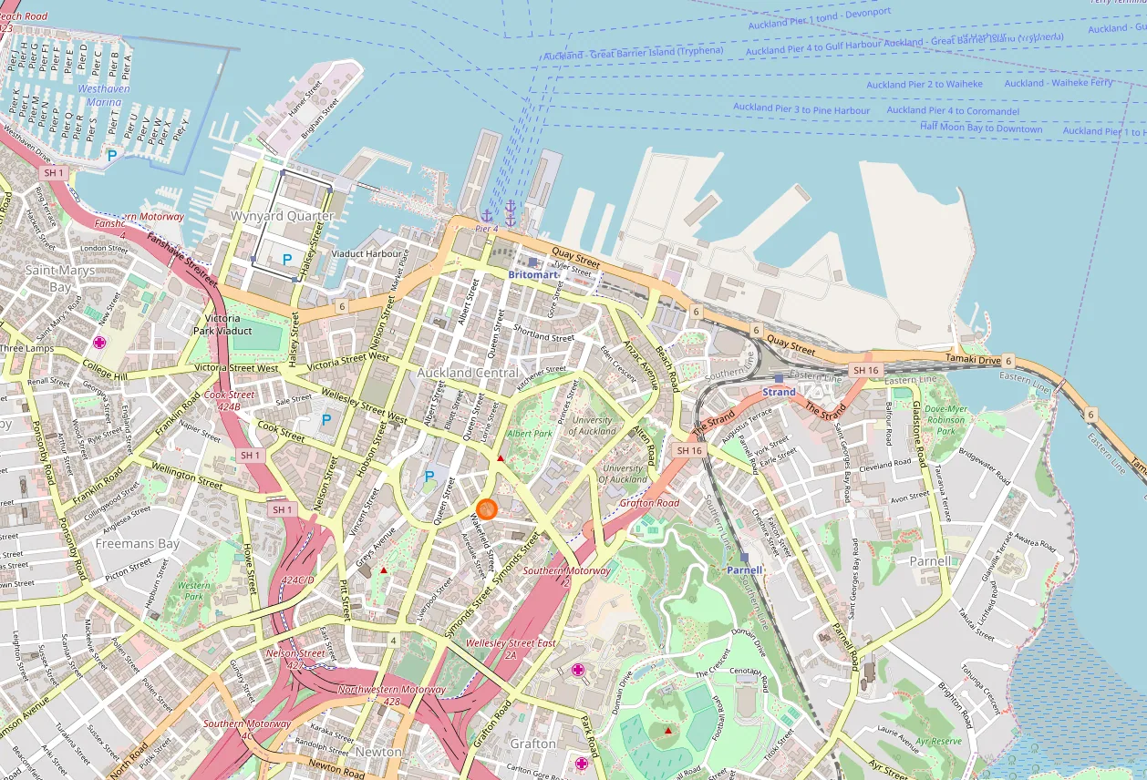
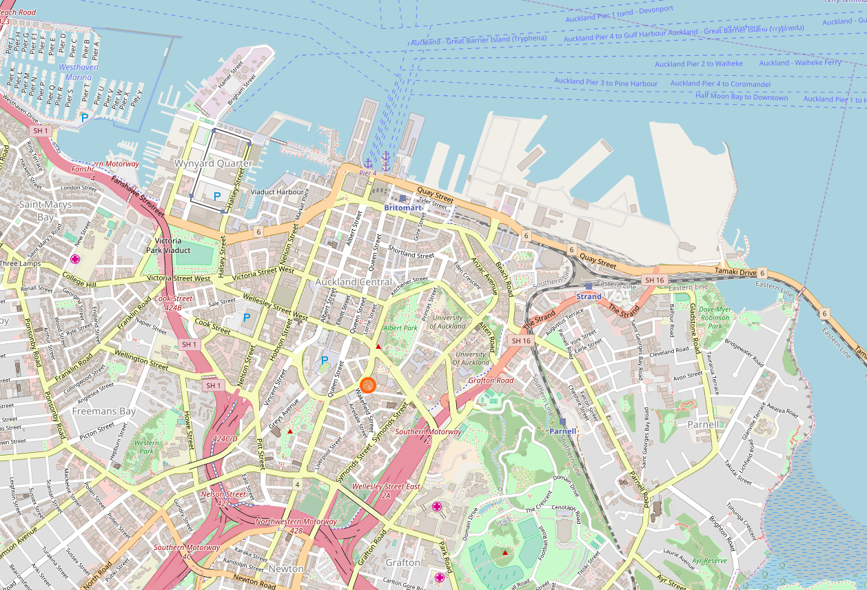
OpenStreetMap map of central Auckland, 2018
About this image
Shows an actual NZ map output using openly maintained geographic data. Underlying OpenStreetMap database attribution is retained.
Read the related chapter: Open source GIS →
Download the original locally stored image
Attribution
Source and reuse
- Published on
- Wikimedia Commons
- Credit
- © OpenStreetMap contributors; cartographic file via Wikimedia Commons
- Image date
- 9 July 2018
- Original source filename
- File:Auckland CBD Map Colour.png
- Original dimensions
- 1258 × 856 pixels
- Original SHA-256
6f8219f60fe4be59e3684b552d6afb61171123f9c620840bc7d77e8720ba02ea- Local copy
- The reader displays a local copy so the image remains available if the original page changes.