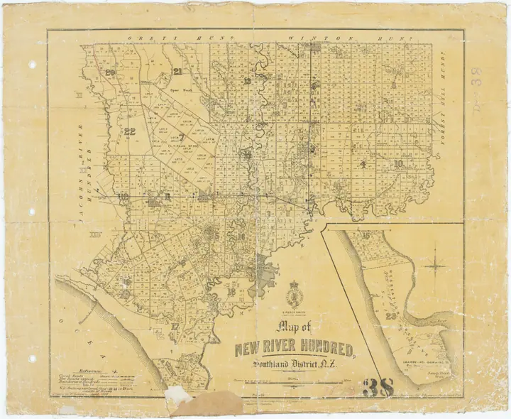
From paper cadastre to Landonline
Trace cadastral information from survey records through national digitisation to Landonline.
Reading collections
Follow a subject through the people, organisations, technology and accounts of New Zealand's GIS history.
Trace cadastral information from survey records through national digitisation to Landonline.
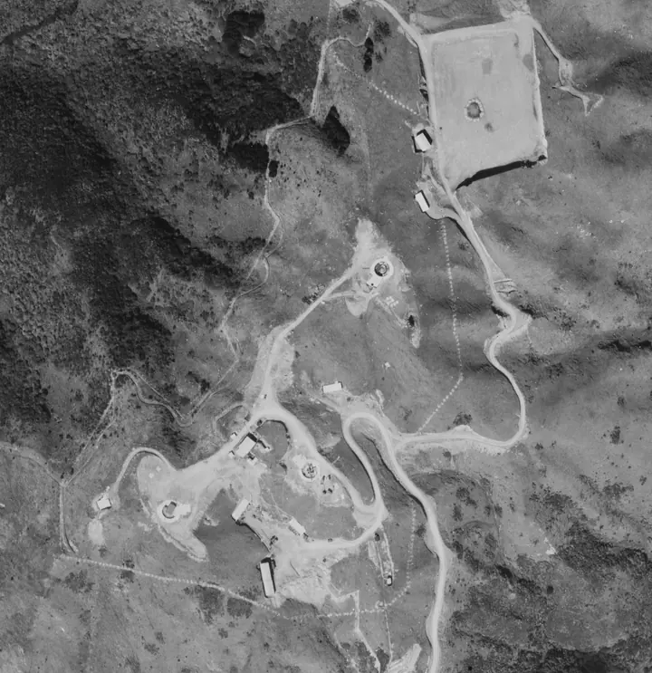
Follow aerial survey, orthophotography, satellite observation, LiDAR and drone capture.
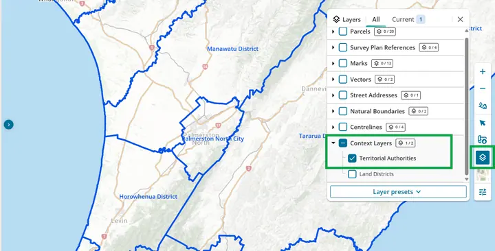
Follow council adoption from specialist systems to corporate and public-facing GIS.
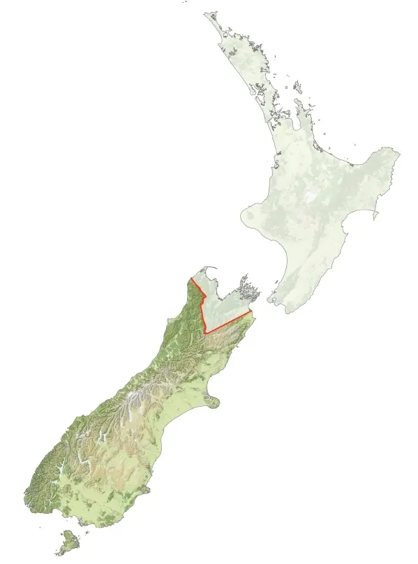
Explore iwi-led mapping, whenua and land information, Māori place names, cultural heritage, environmental planning, data sovereignty and the communities who developed practical Māori GIS in Aotearoa.
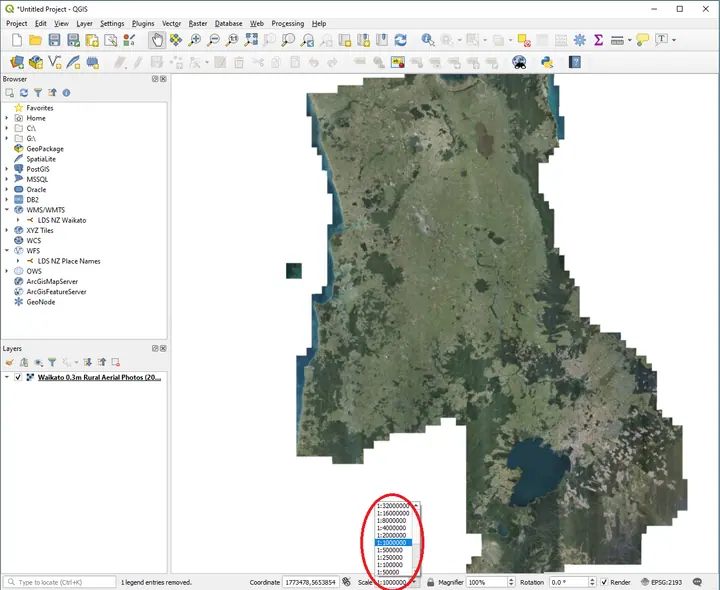
Follow the separate but intersecting histories of open software and reusable public data.
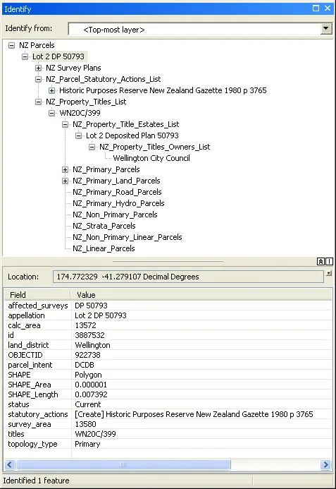
Follow teaching, conferences, user groups and the widening definition of GIS work.
Follow the changes from specialist mapping systems to desktop software, web maps, field tools and shared services.
Follow women’s documented contributions to New Zealand’s mapping and geospatial work. The earlier calculation, scientific and cartographic roles helped create the records and methods GIS inherited. The path continues through agency systems, company-building, Māori-focused research, national data services, environmental and transport analysis, workforce studies and professional networks. The profiles distinguish documented roles and dates from questions still open.