Image archive Image details
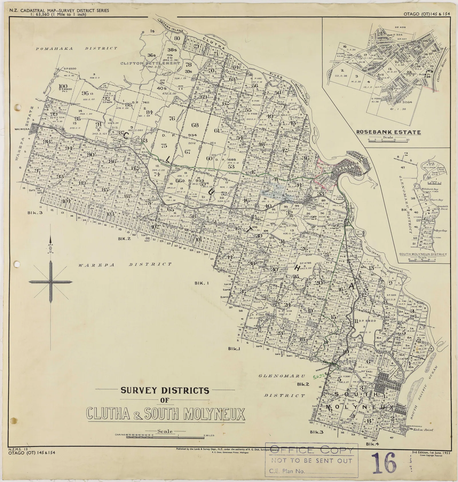

Clutha and South Molyneux survey district maps, 1955
About this image
This printed survey map is a pre-computer reference for the later development of automated cartography. It must not be described as plotter-generated.
Download the original locally stored image
Attribution
Source and reuse
- Published on
- Wikimedia Commons
- Credit
- Department of Lands and Survey; Archives New Zealand DABB D101 409/16 (R6619077)
- Image date
- 1955
- Original source filename
- File:Map of Survey Districts Clutha and South Molyneux (1955).jpg
- Original dimensions
- 8375 × 8798 pixels
- Original SHA-256
00b1c53501e3f2f2b489bb9fd1748df0ddc8e624daf01890ca630a908dad572f- Licence
- CC BY 2.0
- Local copy
- The reader displays a local copy so the image remains available if the original page changes.