Image archive Image details
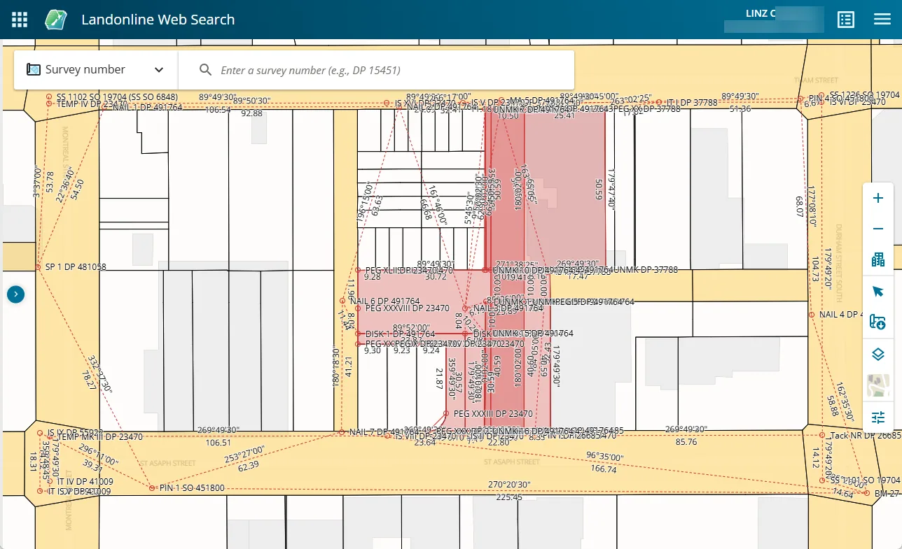
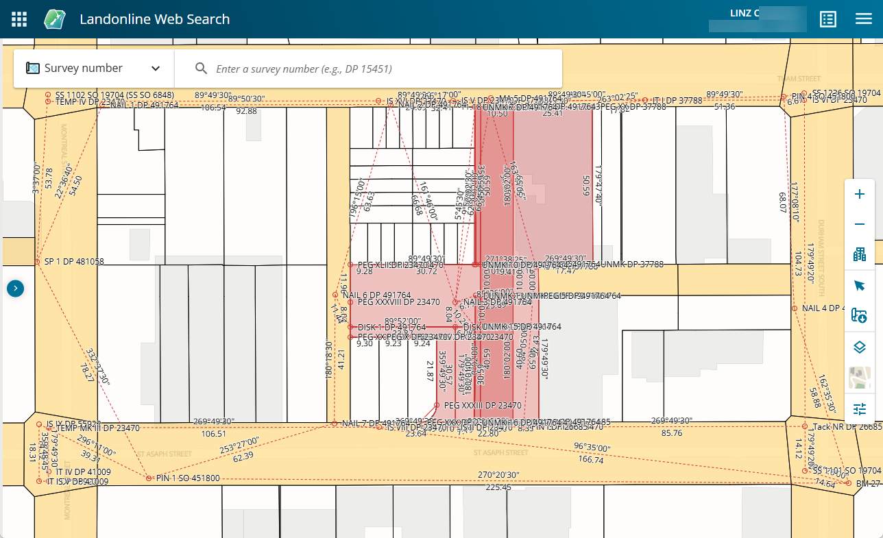
Landonline Web Search displaying survey work, 2025
About this image
An authentic screen from the 2025 web version of Landonline, documented by LINZ. It is not an image of the original 2000s launch interface.
Read the related chapter: Landonline →
Connected records
- Land Information New Zealand (LINZ) · Source organisation and publisher
Download the original locally stored image
Attribution
Source and reuse
- Published on
- Toitū Te Whenua Land Information New Zealand
- Credit
- Source: Toitū Te Whenua Land Information New Zealand, licensed for re-use under Creative Commons Attribution 4.0 International (CC BY 4.0). Web display copy resized and converted to WebP.
- Image date
- June 2025 demonstration
- Original file source
- View the source-original image
- Original source filename
- display survey work 1 - displayed work.png
- Original dimensions
- 1288 × 785 pixels
- Original SHA-256
d29476e4ae01c4bf32d7e0ae1a1d6838c0020ebb841bb522194ae17adb195c88- Licence
- CC BY 4.0
- Reuse conditions
- Publisher's licence statement
- Display preparation
- Local original stored unchanged; WebP display width up to 1600 pixels and thumbnail width up to 720 pixels, resized without cropping.
- Local copy
- The reader displays a local copy so the image remains available if the original page changes.