Image archive Image details
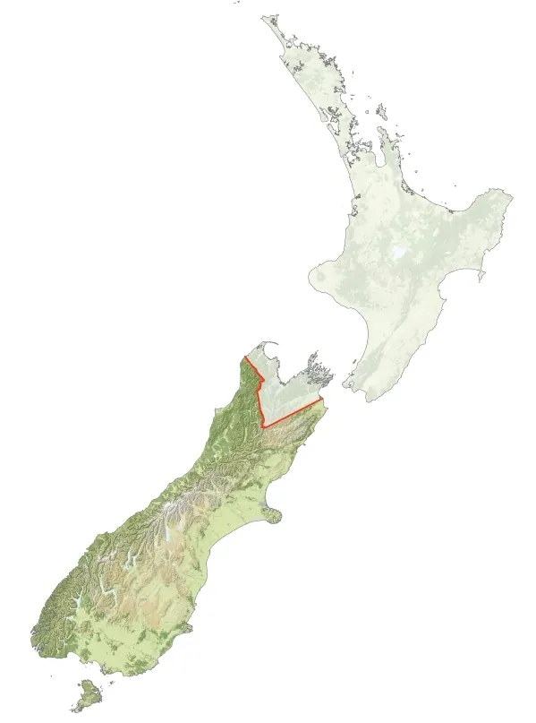
Ngāi Tahu takiwā mapped with GIS, 2010
About this image
A 2010 contributor-created GIS map of the land recognised as Ngāi Tahu takiwā under the Ngāi Tahu Claims Settlement Act 1998. Not the Kā Huru Manu atlas; no assertion of legal boundary precision.
Attribution
Source and reuse
- Published on
- Wikimedia Commons
- Credit
- Igover
- Image date
- 15 February 2010
- Original file source
- View the source-original image
- Original source filename
- File:File:Ngāi Tahu Takiwa.jpg
- Original dimensions
- 599 × 807 pixels
- Original SHA-256
ab6646683bfb188f988ad0684606662af62b9cbe37dd920a44936d91fa953701- Licence
- CC BY-SA 3.0
- Reuse conditions
- Publisher's licence statement
- Display preparation
- Original unchanged JPEG archived in the Wave 4 research package; the website uses uncropped WebP display and card derivatives. Original and crop licensing per Commons file page; no cropping performed.
- Local copy
- The reader displays a local copy so the image remains available if the original page changes.