Image archive Image details
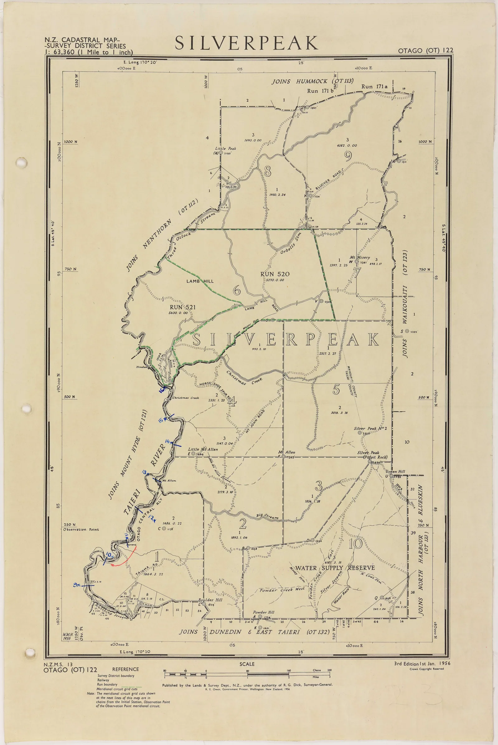
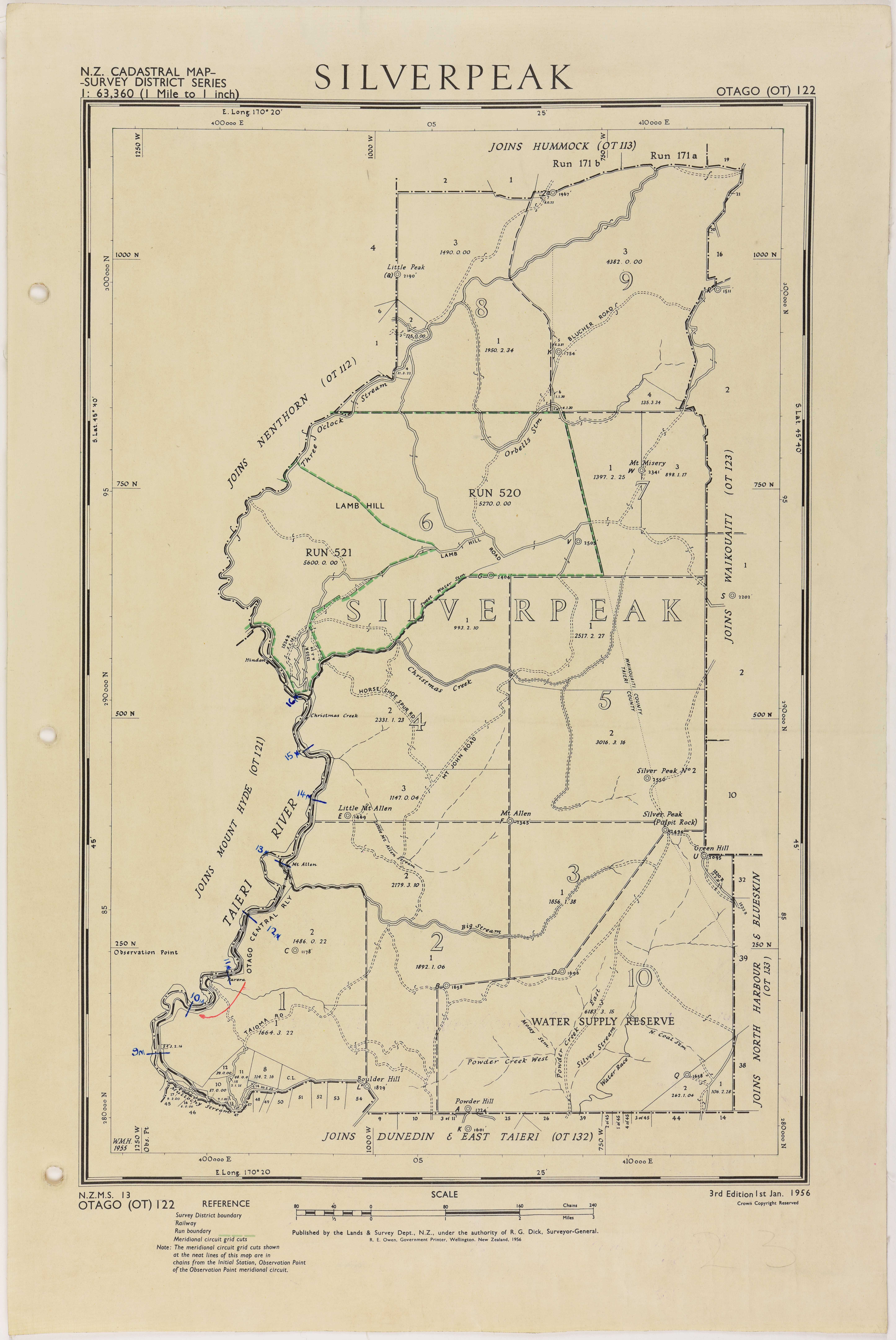
Silverpeak survey district map, 1956
About this image
This printed cadastral survey-district sheet is an example of the paper record maps used before a national digital cadastral database. Its lines and labels served an administrative map purpose; the image should not be read as a modern GIS screen or as proof that every drawn boundary had survey-grade coordinates.
Read the illustrated passage in The digital cadastre →
Connected records
- Department of Lands and Survey · published the cadastral map series
Download the original locally stored image
Attribution
Source and reuse
- Published on
- Wikimedia Commons
- Credit
- New Zealand Railways Corporation, District Engineer’s Office, Dunedin; Archives New Zealand, ref. DABB D101 409/23 (R6619107); via Wikimedia Commons.
- Image date
- 1956
- Original file source
- View the source-original image
- Original source filename
- File:Map of Silverpeak Survey District (1956).jpg
- Original dimensions
- 5782 × 8645 pixels
- Original SHA-256
a4751e4adc7059d2ad0a1ca5faf57663d07ed12871ef6d1679c701be8a0ad972- Licence
- CC BY 2.0
- Reuse conditions
- Publisher's licence statement
- Display preparation
- Local JPEG source copy stored unchanged; WebP display width up to 1600 pixels and card width up to 720 pixels, resized without cropping.
- Local copy
- The reader displays a local copy so the image remains available if the original page changes.