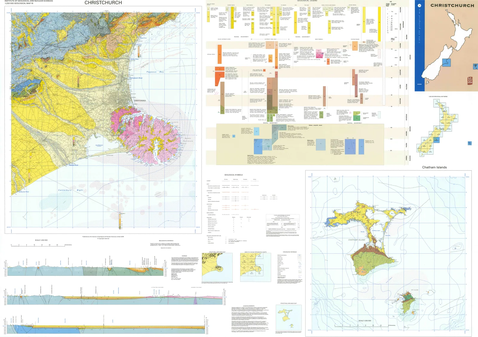
The national regional series of GIS-based 1:250,000 geological maps and their digital derivatives.
GNS Science's QMAP programme compiled regional geological mapping at 1:250,000 using GIS. Its digital editions brought mapped geology together with explanatory geological descriptions and an explicit national cartographic framework.
Sources · 1
Published regional map files include georeferenced images for GIS use. Seamless geological datasets form a separate related output and should not be confused with the original individual regional QMAP sheets.