New Zealand Map Grid: Department of Lands and Survey Technical Circular 1973/32
Department of Lands and Survey
Original technical description of the New Zealand Map Grid projection, a foundation of New Zealand mapping before NZTM2000.
Documentary archive
Browse the collection chronologically. Select a decade, theme or author / organisation to narrow the list; select a document to read it here.
Department of Lands and Survey
Original technical description of the New Zealand Map Grid projection, a foundation of New Zealand mapping before NZTM2000.
Department of Conservation
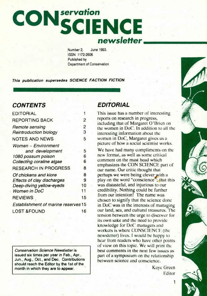
Department of Conservation's June 1993 science bulletin; mapping, digital spatial information or GIS references are identified in its source text before inclusion.
Department of Conservation
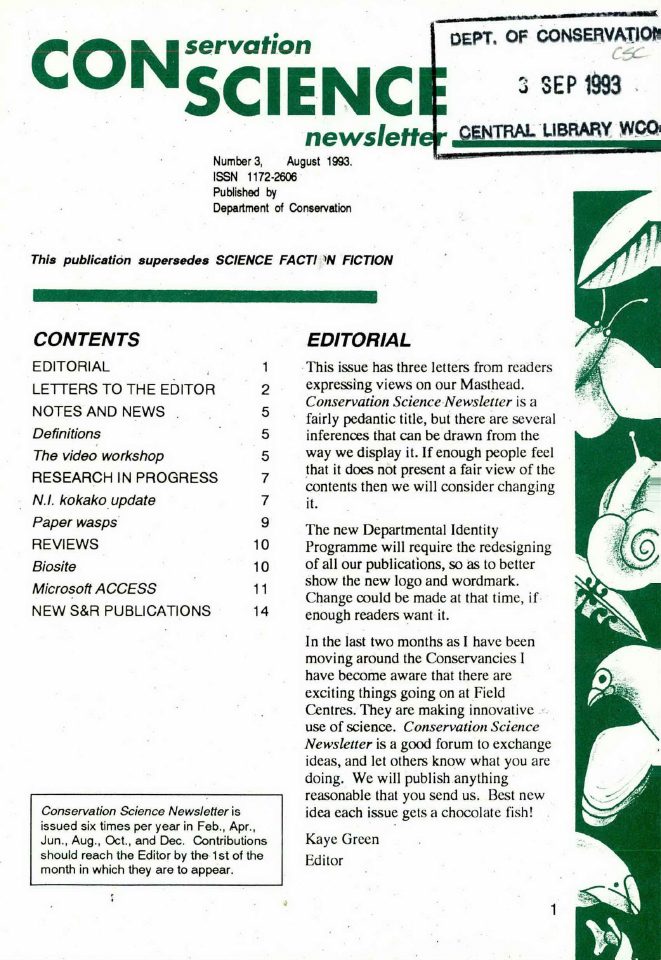
Department of Conservation's August 1993 science bulletin; mapping, digital spatial information or GIS references are identified in its source text before inclusion.
Department of Conservation
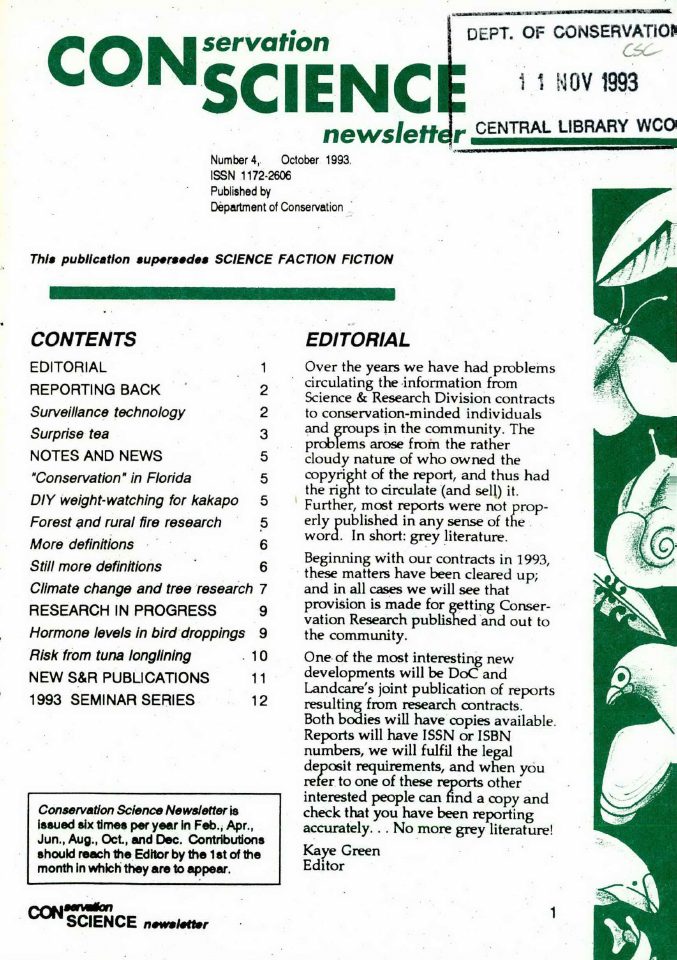
Department of Conservation's October 1993 science bulletin; mapping, digital spatial information or GIS references are identified in its source text before inclusion.
Department of Conservation
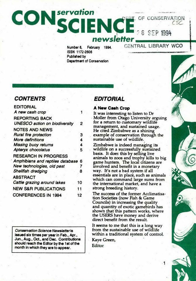
Department of Conservation's February 1994 science bulletin; mapping, digital spatial information or GIS references are identified in its source text before inclusion.
Department of Conservation
Department of Conservation's August 1994 science bulletin; mapping, digital spatial information or GIS references are identified in its source text before inclusion.
Department of Conservation
Department of Conservation's March 1995 science bulletin; mapping, digital spatial information or GIS references are identified in its source text before inclusion.
Department of Conservation
Department of Conservation's June 1996 science bulletin; mapping, digital spatial information or GIS references are identified in its source text before inclusion.
Department of Conservation
Department of Conservation's March 1997 science bulletin; mapping, digital spatial information or GIS references are identified in its source text before inclusion.
Department of Conservation
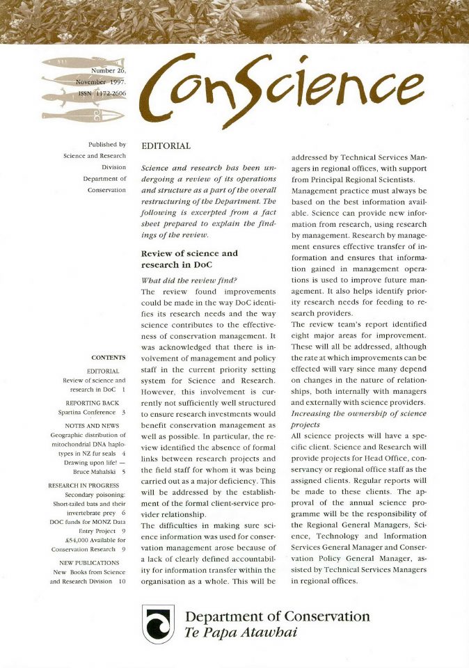
Department of Conservation's November 1997 science bulletin; mapping, digital spatial information or GIS references are identified in its source text before inclusion.
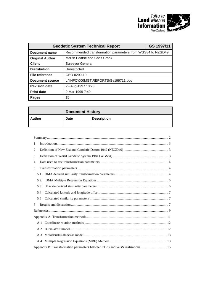
Merrin Pearse and Chris Crook · LINZ
Compares transformation approaches for relating GPS-derived WGS84 positions to NZGD49 and records the errors remaining after selected conversions.
Office of the Surveyor-General · LINZ
Documents decisions proposed for New Zealand's shift to a modern geocentric datum and the planned implementation of NZGD2000.
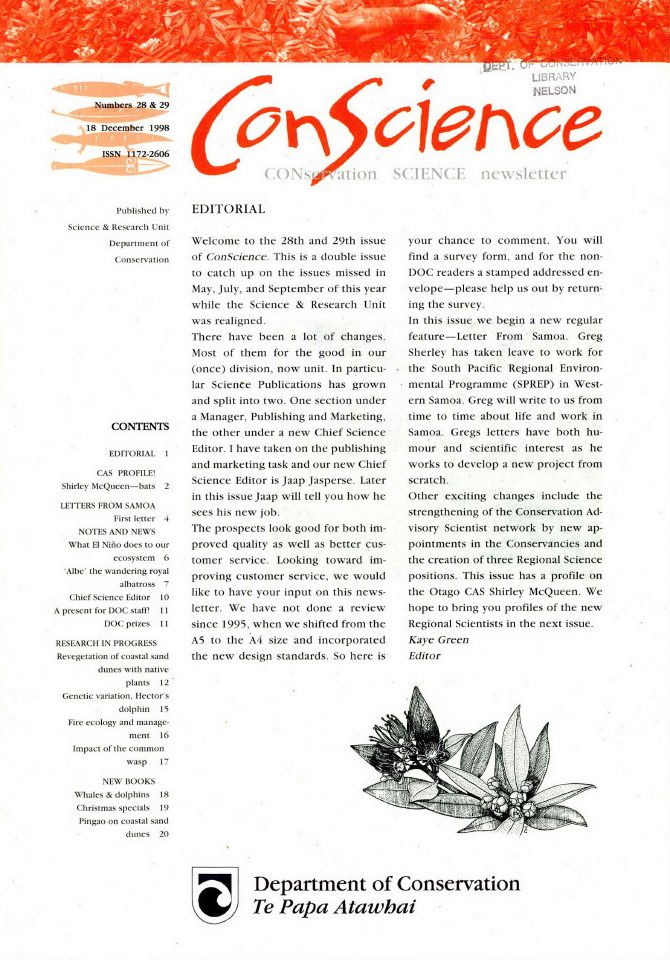
Department of Conservation
The December 1998 issue records a proposal for a GIS database of fire-induced vegetation, wetlands, tussock grasslands and shrublands as part of conservation fire research.
Office of the Surveyor-General · LINZ
Documents GIS, GPS and digital mapping as drivers for a modern geodetic reference system and sets short- and long-term development goals.
Tony Bevin · LINZ
Contemporary account of Landonline, Digital Cadastral Database conversion, cadastral regulation and the proposed automated survey and titles system.
Department of Conservation
Department of Conservation's August 1999 science bulletin; mapping, digital spatial information or GIS references are identified in its source text before inclusion.
Surveyor-General · LINZ
National account of geodetic surveying and research by LINZ, GNS Science and universities during 1995–1998.
Office of the Surveyor-General · LINZ
Sets out how a digital marine cadastre could represent rights and spatial extents within New Zealand's offshore jurisdiction.
Office of the Surveyor-General · LINZ
Proposes continuous GNSS-based access to national coordinate infrastructure and explains the changing demands of spatial data users.
Office of the Surveyor-General · LINZ
Traces the historical cadastral circuits and proposes their adaptation for NZGD2000 digital survey workflows.
Office of the Surveyor-General · LINZ
Reviews Antarctic geodetic stations, the LINZ geodetic database and priorities for integrating survey observations into official spatial records.
Department of Conservation
Department of Conservation's September 2000 science bulletin; mapping, digital spatial information or GIS references are identified in its source text before inclusion.
Department of Conservation
Department of Conservation's December 2000 science bulletin; mapping, digital spatial information or GIS references are identified in its source text before inclusion.
N. Whitmore, A. D. Huryn, C. J. Arbuckle and F. Jansma
Historical account of ecology and distribution of kōura in the taieri river catchment.
Department of Conservation
DOC's original June 2000 regional threatened-species field newsletter, admitted only following original-content geospatial verification.
Department of Conservation
DOC's original December 2000 regional threatened-species field newsletter, admitted only following original-content geospatial verification.
Office of the Surveyor-General · LINZ
Technical account of the GPS observations, coordinate calculations and deformation approach used to realise NZGD2000.
Land Information New Zealand
Records early electronic land-information systems, the organisational information-management programme and the operating context preceding national digital mapping services.
Department of Conservation
DOC's original June 2001 regional threatened-species field newsletter, admitted only following original-content geospatial verification.
Department of Conservation
DOC's original April 2002 regional threatened-species field newsletter, admitted only following original-content geospatial verification.
Department of Conservation
Contemporary evidence of spatial analysis and GIS use in conservation, management and research directions for giant kōkopu in otago.
Graeme Blick · LINZ
Explains the choice of a semi-dynamic datum and how the deformation model supports consistent digital spatial coordinates in New Zealand.
S. Walker, W. G. Lee and G. M. Rogers
Contemporary evidence of spatial analysis and GIS use in post-pastoral succession in intermontane basins and valleys of eastern south island.
P. Reeves and R. Haskew
Contemporary evidence of spatial analysis and GIS use in whangamarino wetland vegetation map methodology.
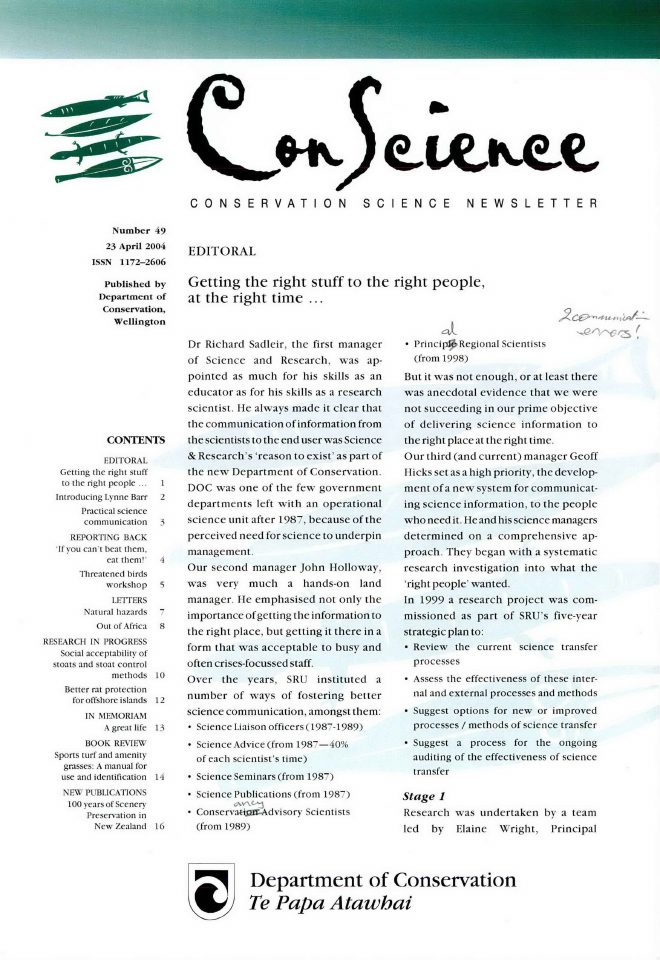
Department of Conservation
Department of Conservation's April 2004 science bulletin; mapping, digital spatial information or GIS references are identified in its source text before inclusion.
Department of Conservation
Contemporary evidence of spatial analysis and GIS use in feral cats on stewart island/rakiura: population regulation, home range size and habitat use.
E. Graynoth and K. Niven
Contemporary evidence of spatial analysis and GIS use in freshwater eel fisheries: analysis of catch and conservation using spatial datasets.
Land Information New Zealand
Documents nationwide electronic survey in Landonline, the 2003 survey conversion of 1.35 million parcels and improvements to digital land-information services.
Department of Conservation
Predictive GIS modelling for archaeological site distributions.
Vince Kerr and Roger Grace
Contemporary evidence of spatial analysis and GIS use in intertidal and subtidal habitats: mapping with aerial photography and gis.
Land Information New Zealand
Contemporary evidence of the development of Landonline, geographic information policy and the transition towards coordinated public-sector spatial data.
Land Information New Zealand
Describes the 2004 geospatial discussion document and proposed government coordination of GIS datasets, interoperability and geospatial information discovery.
C. L. Newell and J. R. Leathwick
Historical account of mapping hurunui forest community distribution using computer models.
S. Walker, G. M. Rogers, W. G. Lee, B. Rance and colleagues
Historical account of consequences to threatened plants and insects of fragmentation of southland floodplain forests.
Land Information New Zealand
Describes consultation on the proposed New Zealand Geospatial Strategy, the Ocean Survey 20/20 programme and the move to mandatory electronic lodgement.
S. J. Turner and A. Schwarz
Historical account of management and conservation of seagrass in new zealand.
Crown Forestry Rental Trust
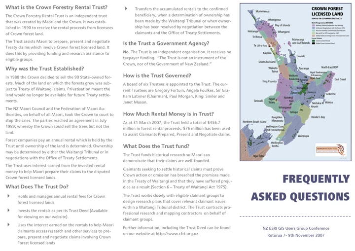
At the Rotorua Esri User Group conference, the Trust documented its GIS warehouse, contracted cartography and ArcReader 'ArcFlax' distribution for Treaty research.
Land Information New Zealand
Records the national authoritative geospatial record, digital land and seabed information services and implementation of the first New Zealand Geospatial Strategy.
Land Information New Zealand
Defines the emerging New Zealand Geospatial Office and its role in coordinating government geographic information after the 2007 strategy.
L. K. O'Brien and N. R. Dunn
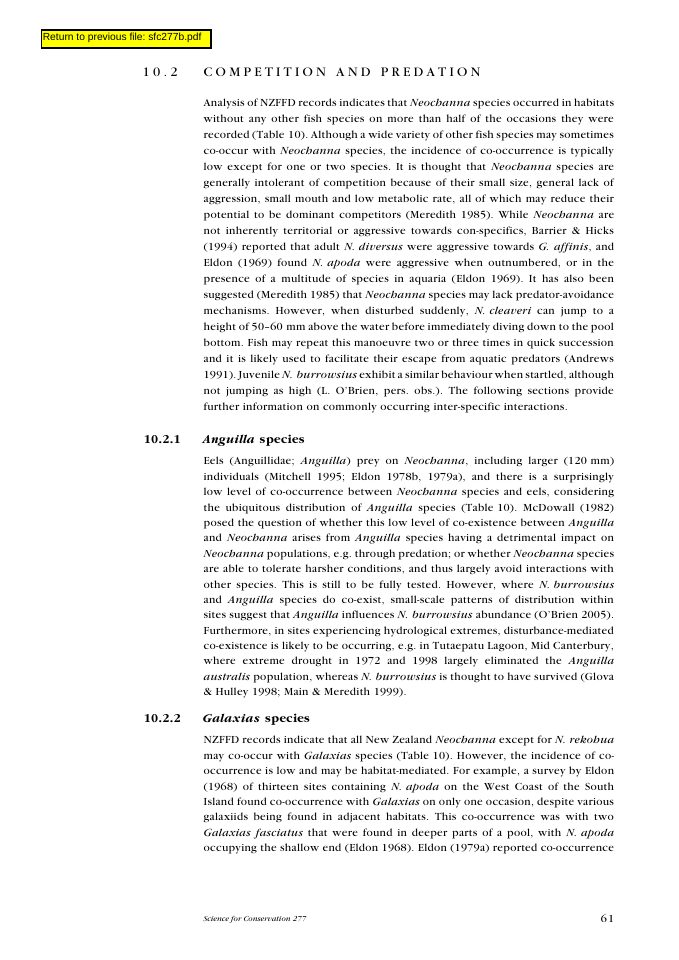
This mudfish literature review identifies mapping small-scale distributions in wetlands and agricultural drains for incorporation into GIS databases as a conservation need.
Office of the Surveyor-General · LINZ
Reports the establishment and development of New Zealand's PositioNZ network, vertical-datum work and related geodetic activities.
Office of the Surveyor-General · LINZ
Defines NZGD2000, its reference epoch, deformation model and transformation parameters for spatial data supplied to LINZ.
Land Information New Zealand and contributing New Zealand public agencies
LINZ published a national strategy with four priorities: governance, maintenance of fundamental data, discoverable access, and interoperability between agencies.
Land Information New Zealand
Illustrated explanation of geographic reference systems, datums, map projections and why consistent coordinates support digital mapping.
Department of Conservation
Spatial modelling for mammalian pest control.
Department of Conservation
GIS in wildlife management and yellow-eyed penguin habitat analysis.
Land Information New Zealand
Sets out LINZ objectives for digital land-information delivery, government location-information markets and national coordination.
Susan Walker, Robbie Price and Daniel Rutledge
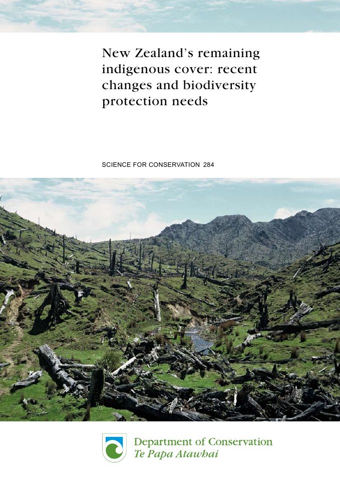
Historical account of new zealand's remaining indigenous cover.
Office of the Surveyor-General · LINZ
Sets technical requirements for projections used with NZGD2000 and documents the shift to nationally consistent coordinate systems.
Sarah Mehrtens · New Zealand Geospatial Office
A report to the Geospatial Executives Group on how government could coordinate geospatial data standards across New Zealand.
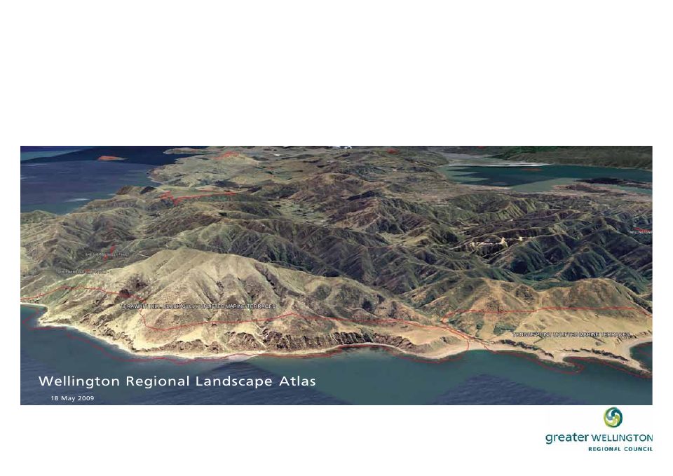
Greater Wellington Regional Council
Multi-council landscape classification and spatial modelling.
Land Information New Zealand
Documents implementation of the New Zealand Geospatial Strategy, improving access to location information and public-sector coordination.
Land Information New Zealand
Presents a government spatial-data infrastructure framework covering governance, data quality, interoperability and public access to geospatial services.
ACIL Tasman for LINZ
Examines economic value from spatial information, barriers to adoption and investment options for national spatial data infrastructure.
Graeme Blick · LINZ
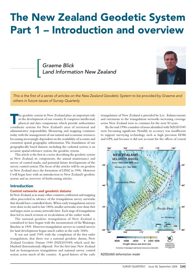
Introduces New Zealand's geodetic datums and control networks, linking the history of triangulation to modern GPS and digital GIS.
Nic Donnelly · LINZ
Describes survey marks, the geodetic physical network and LINZ's field programmes that support coordinate consistency.
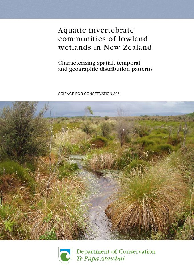
A. Suren and B. Sorrell
Historical account of aquatic invertebrate communities of lowland wetlands in new zealand.
Department of Conservation
GIS sightings maps and marine protection in western North Island waters.
Land Information New Zealand
Captures work on New Zealand geospatial information infrastructure and digital land-information services immediately before the LINZ Data Service era.
Land Information New Zealand
Describes growing use of GIS in New Zealand business and government and the planned expansion of national survey and mapping datasets and services.
Te Kāhui Manu Hōkai · conference organisers
Programme for the Māori GIS Conference held at GNS Avalon in Lower Hutt, including sessions and presenters from the geospatial community.
Kelvin Tait · LINZ
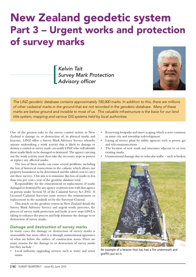
Explains threats to geodetic and cadastral survey marks and the preservation of physical positioning infrastructure.
Graeme Blick and Dave Collett · LINZ
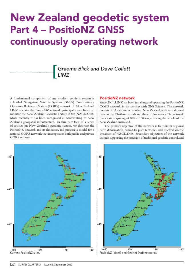
Details the PositioNZ network and its role in tracking deformation and developing New Zealand's national GNSS infrastructure.
Land Information New Zealand
Documents the LINZ Data Service, national spatial data infrastructure programme, Canterbury earthquake mapping and Auckland spatial viewer.
Land Information New Zealand
Details the New Zealand Geospatial Office mandate, projected productivity benefits from location information and the programme for connecting datasets with users.
Department of Conservation
Spatial modelling of 100-metre LENZ, LCDB2 and LUCAS grids for carbon stock estimates.
Greater Wellington Regional Council
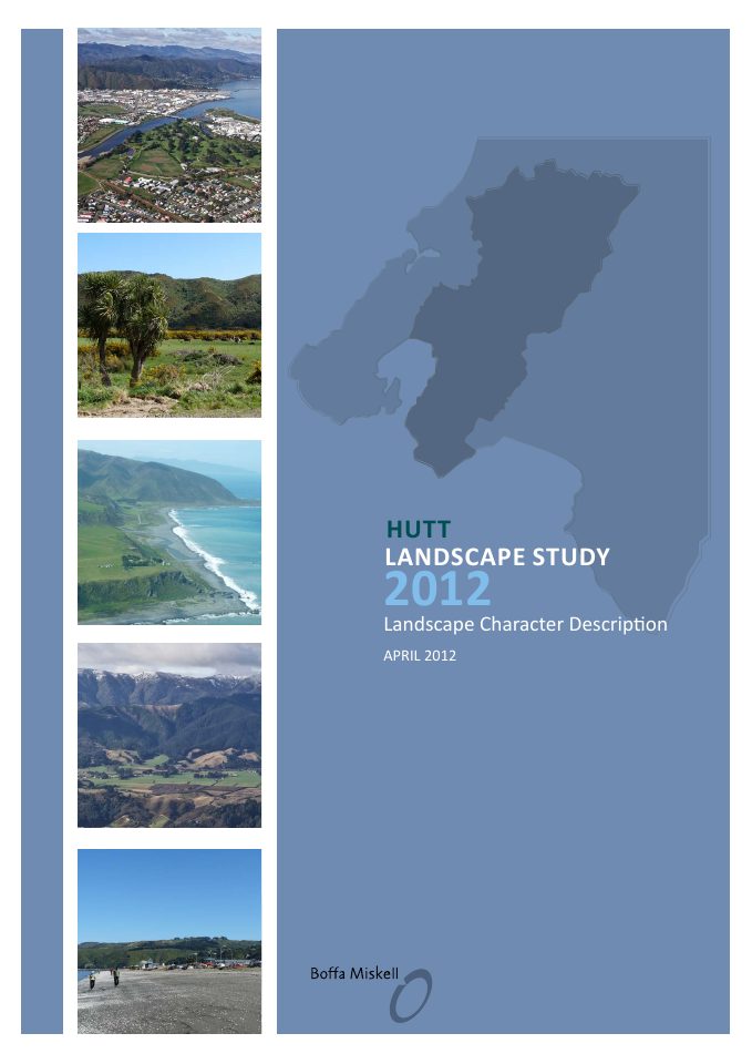
Landscape and geographic information for Hutt planning.
Te Kāhui Manu Hōkai · National Māori GIS Association
Programme for the 2012 National Māori GIS Conference in Rotorua, documenting the conference sessions and participating community.
New Zealand Geospatial Office, Land Information New Zealand
The New Zealand Geospatial Office assessed national SDI maturity against 46 criteria, using September 2012 as its baseline.
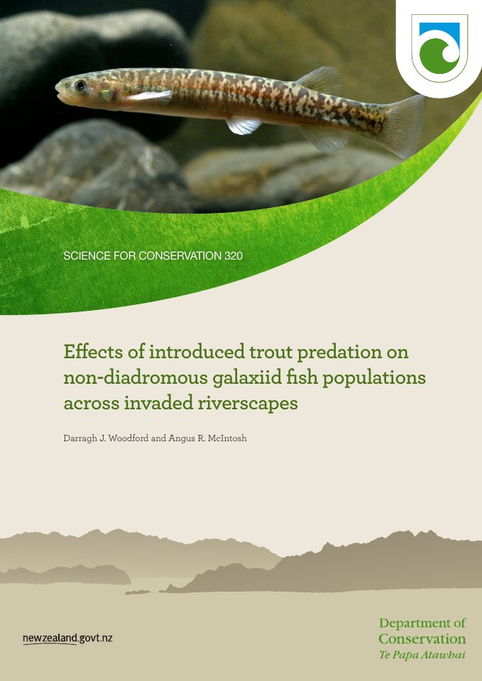
Darragh J. Woodford and Angus R. McIntosh
Historical account of riverscape modelling of native galaxiids and introduced trout.
Department of Conservation
Comparative satellite land-cover GIS accuracy for Wellington wetlands.
Duane Wilkins
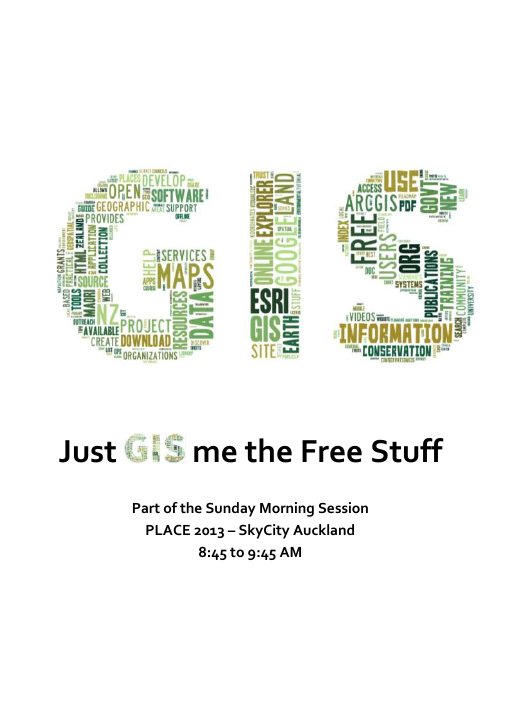
A presentation and resource list prepared for PLACE 2013, collecting free GIS software, data, Māori interests and online resources for participants.
Land Information New Zealand
Defines the grid and time-dependent components used to publish New Zealand's deformation model for spatial coordinate corrections.
Department of Conservation
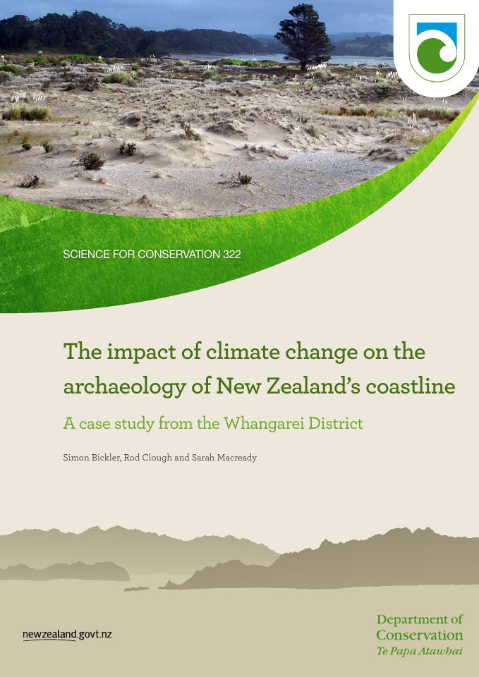
Contemporary evidence of spatial analysis and GIS use in the impact of climate change on the archaeology of new zealand's coastline: whangarei district.
Land Information New Zealand
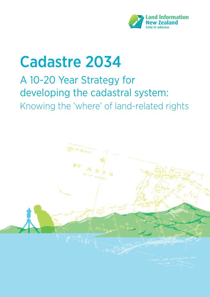
A long-term vision for the New Zealand cadastre, linking property boundaries, digital survey infrastructure and emerging spatial technology.
Department of Conservation
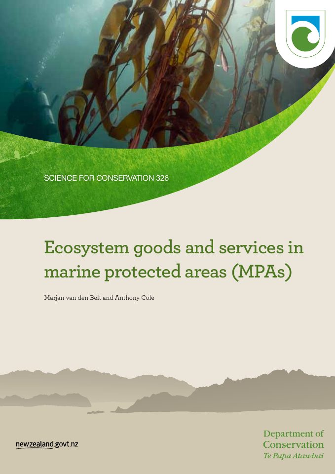
GIS modelling and valuation of marine biomes and reserves.
Land Information New Zealand
Describes the planned development of positioning, GNSS and reference-frame services in New Zealand for 2014–2024.
Land Information New Zealand
Following 14 workshops in 2014 involving more than 200 participants, LINZ published five overarching R&D priorities, 40 associated opportunities and 140 further specific opportunities.
Department of Conservation
Ecological Districts, LENZ and FENZ geodatabase frameworks for significance assessment.
Land Information New Zealand
Sets out LINZ's data and digital priorities, including the LINZ Data Service and wider geospatial information infrastructure.
Department of Conservation
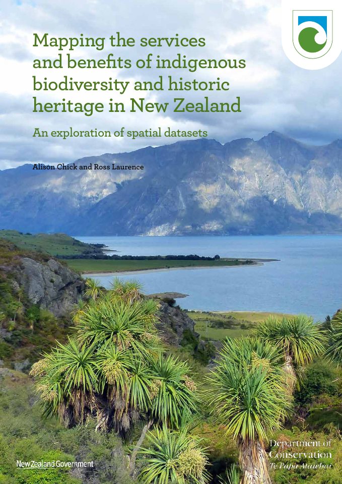
Catalogue of New Zealand spatial datasets and GIS mapping tools.
M. Lowe, R. Ingley and D. Young for Auckland Council
Auckland Council technical report TR2016/002 records ArcGIS Online field assessment, geodatabase data collection and mapped watercourse survey outputs.
Māori Land Court and Ministry for Primary Industries
Explains the Māori Land Spatial Dataset release, its data description and methods, and the associated Creative Commons reuse licence.
Brenda Rosser, Sally Dellow, Soren Haubrock and Phil Glassey
Describes the design, data sources and dissemination of New Zealand’s national landslide database, including its GIS, PostGIS and GeoServer foundations.
Stats NZ Tatauranga Aotearoa
Defines Stats NZ’s geographic classifications and requirements for creating and maintaining statistical geographies, including the SA1 and SA2 framework.
Original poster creator not identified in supplied presentation
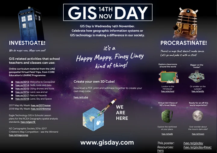
An educational poster for 14 November 2018 brought together LINZ–LEARNZ field trips, Map My Wāhi activities, Eagle Technology school resources and cartographic learning links.
Department of Conservation
ArcGIS Benthic Terrain Modeller, Otago council marine habitats, marine spatial planning.
Ministry for the Environment
Sets consistent structures and formats for planning documents, including regional and district spatial layers, mapping and electronic accessibility.
Te Kāhui Manu Hōkai, the Māori GIS Association
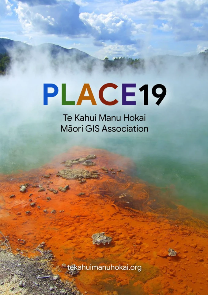
Te Kāhui Manu Hōkai convened the PLACE19 conference in Rotorua, with over 100 delegates and sessions on people, landscapes, assets, communication and education.
Department of Conservation
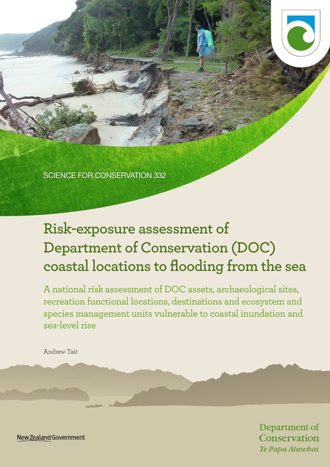
National DEM-based GIS risk screening of coastal conservation assets.
Department of Conservation
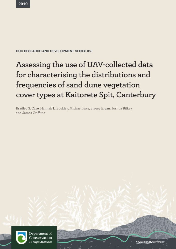
Drone imaging and GIS-derived sand-dune vegetation mapping in Canterbury.
Department of Conservation
Remote sensing and classification for conservation weed management.
C. Brightman and R. Roberts · Auckland Council
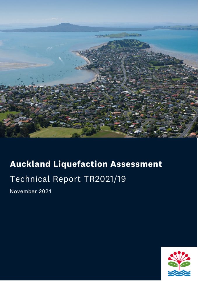
Auckland Council technical report TR2021/19, documenting mapped liquefaction vulnerability across the Auckland region for planning and natural-hazard decisions.
Nancy Golubiewski, Grant Lawrence, Joe Zhao and Craig Bishop
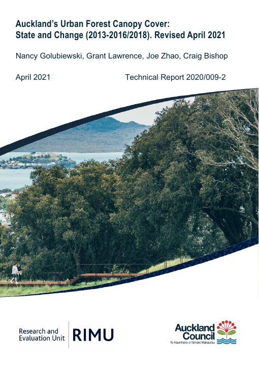
Uses Auckland LiDAR and spatial comparisons to map tree canopy cover and change across local boards, land cover, zoning and tenure.
Duane Wilkins
An article on the GIS skills and professional development needed as geospatial tools, data and work practices continue to change.
Land Information New Zealand
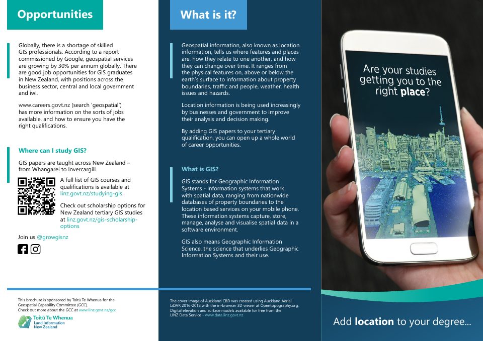
Introduces work and qualifications in New Zealand GIS through practitioner profiles and first-hand descriptions of geospatial careers.
Duane Wilkins; published by Manaaki Whenua – Landcare Research
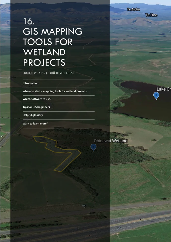
Duane Wilkins's chapter described GIS for whānau-led wetland restoration, including historical aerial photography, 3D mapping, environmental monitoring, Google Earth and ArcGIS tools.
Elizabeth Eppel and Miriam Lips
A Victoria University of Wellington case study on the first phase of Landonline modernisation, including service pilots, platform changes and in-house digital capability.
Department of Conservation
Using NZTM spatial projections to calculate marine protection area statistics.
Taranaki Civil Defence and Emergency Management Group; Teresa Gordon and Ed Cook
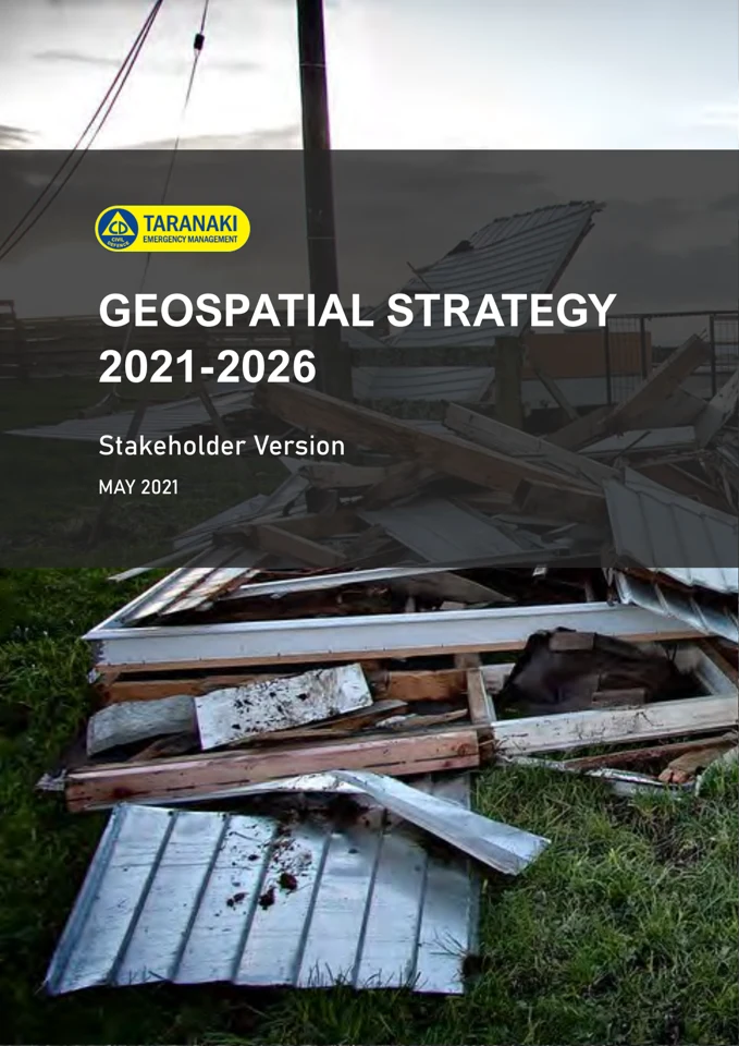
The May 2021 strategy established a regional emergency GIS development roadmap, common operating picture and priorities for people, requirements, interoperable data and technology.
Lukas Marek, Matthew Hobbs, Jamie Wiki, Matt Kingham and Terry Chambers
Develops a nationwide healthy-location index using geocoded environmental exposures, including access to green space and other health-relevant places.
Benedict Collings, Murray Ford and Mark Dickson
Presents a pixel-based satellite-image method for mapping coastal land-cover change across New Zealand and discusses its use for shoreline analysis.
Hakan Tanyaş, Tolga Görüm, Islam Fadel, Cengiz Yıldırım and Luigi Lombardo
Maps 14,233 Kaikōura earthquake landslides and 101 landslide dams, documenting an open inventory and analysis across approximately 14,000 km².
Natasha Carpenter · Auckland Council
Guidance for assessing coastal hazards in Auckland, including mapping coastal erosion and storm inundation areas to inform planning, asset management and adaptation.
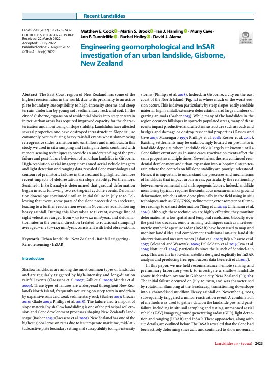
Matthew E. Cook, Martin S. Brook, Ian J. Hamling, Murry Cave, Jon F. Tunnicliffe, Rachel Holley and David J. Alama
Combines geomorphological mapping and satellite InSAR to investigate an urban landslide in Gisborne and interpret its movement history.
Jo Cavanagh and Brandon Whitehead
Proposes consistent land-use categories and attributes for regional and national soil-quality monitoring and reporting.
Department of Conservation
ArcGIS benthic terrain modelling of multibeam bathymetry.
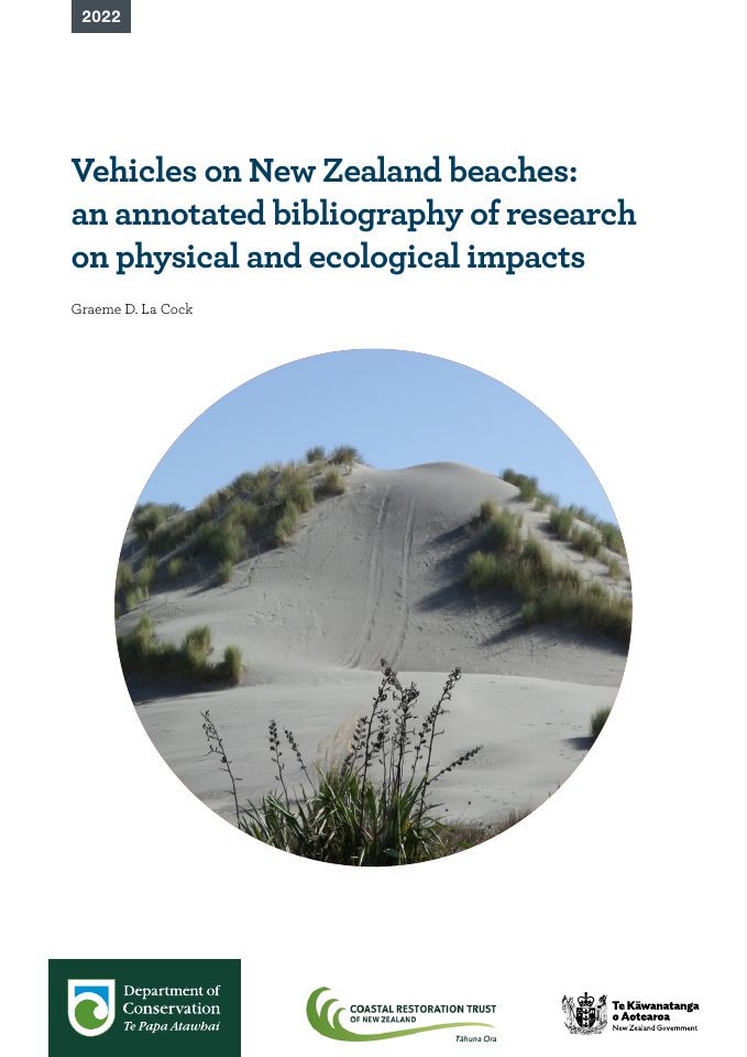
Department of Conservation
DOC’s annotated bibliography notes recent beach-impact studies using drone imagery, GIS spatial analysis and remote sensing, including measurement of off-road vehicle damage.
Landpro Ltd for Environment Canterbury
Metadata for the Banks Peninsula LiDAR survey, covering capture, processing and the digital map and elevation products supplied to Environment Canterbury.
Giorgia Vattiato, Rachelle N. Binny, Sam J. Davidson, Andrea E. Byrom, Dean P. Anderson, Michael J. Plank, Joanna K. Carpenter and Alex James
Reviews spatially explicit capture–recapture and home-range studies to summarise detection parameters for ten invasive mammals in New Zealand.
Jo Cavanagh and Brandon Whitehead
Describes a prototype model for linking land-use classification systems and aligning categories used in regional council soil-quality monitoring.
John R. Leathwick, Amy L. Whitehead, Nicholas J. D. Singers and Elizabeth Daly
Combines potential ecosystem maps, current land cover and spatial prioritisation to assess ecosystem loss and conservation options in the Horizons Region.
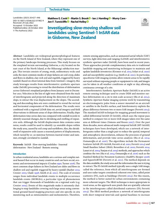
Matthew E. Cook, Martin S. Brook, Ian J. Hamling, Murry Cave, Jon F. Tunnicliffe and Rachel Holley
Uses Sentinel-1 InSAR, regional LiDAR, aerial imagery and field observations to identify and monitor unstable slopes around Gisborne.
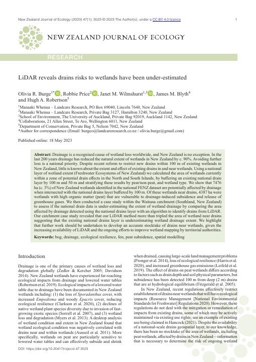
Olivia R. Burge, Robbie Price, Janet M. Wilmshurst, James M. Blyth and Hugh A. Robertson
Combines national wetland and drainage layers with LiDAR analysis in Waituna to show how conventional drainage data can understate the area of wetlands near drains.
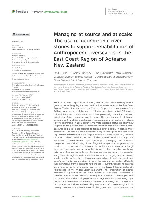
Ian C. Fuller, Gary J. Brierley, Jon Tunnicliffe, Mike Marden, Jacqui McCord, Brenda Rosser, Dan Hikuroa, Khendra Harvey, Elliot Stevens and Megan Thomas
Uses catchment-scale geomorphic mapping and “river stories” to compare five East Coast catchments and guide place-specific river rehabilitation.
Geospatial Industry Profile Survey Committee
A profile of the New Zealand geospatial workforce based on 523 survey responses collected between March and May 2023, covering employment, qualifications, skills and professional groups.
Stats NZ Tatauranga Aotearoa
The 2023 standard defines New Zealand statistical geographies and updates the 2018 standard with changes to geographic boundary releases and the official grid.
Marie Aschenbrenner
Examines remapping and environmental decision-making in the Hauraki Gulf Tīkapa Moana, placing marine spatial planning in its Auckland and Aotearoa context.
Megan Tuck, Mark Dickson, Emma Ryan, Murray Ford and Teresa Konlechner
Documents a national coastal-change dataset and the methods used to derive it, developed with support from councils across New Zealand.
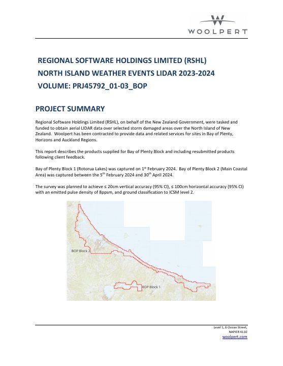
Woolpert for Regional Software Holdings Ltd and the New Zealand Government
Documents the Bay of Plenty LiDAR products captured as part of the North Island Weather Events survey programme, including processing and validation.
Matthew Hobbs, Mario Puente-Sierra, Lukas Marek, Jonathan M. Broadbent and Terry Chambers
Assesses the quality of nationwide drinking-water distribution-zone data and examines geographic inequities in the data available across territorial authorities.
Greater Wellington Regional Council
Freshwater data services, GIS inputs and mapping.
Richard Law, Brandon Whitehead, Jo Cavanagh, James Ardo, Garth Harmsworth and Laise Harris
Develops draft national land-use classifications, including extractive and non-extractive uses and te ao Māori perspectives.
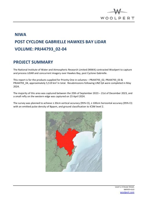
Woolpert for NIWA
Project summary for approximately 5,519 km² of post-Cyclone Gabrielle LiDAR and imagery across Hawke’s Bay, including later quality-assurance resubmissions.
Land Information New Zealand
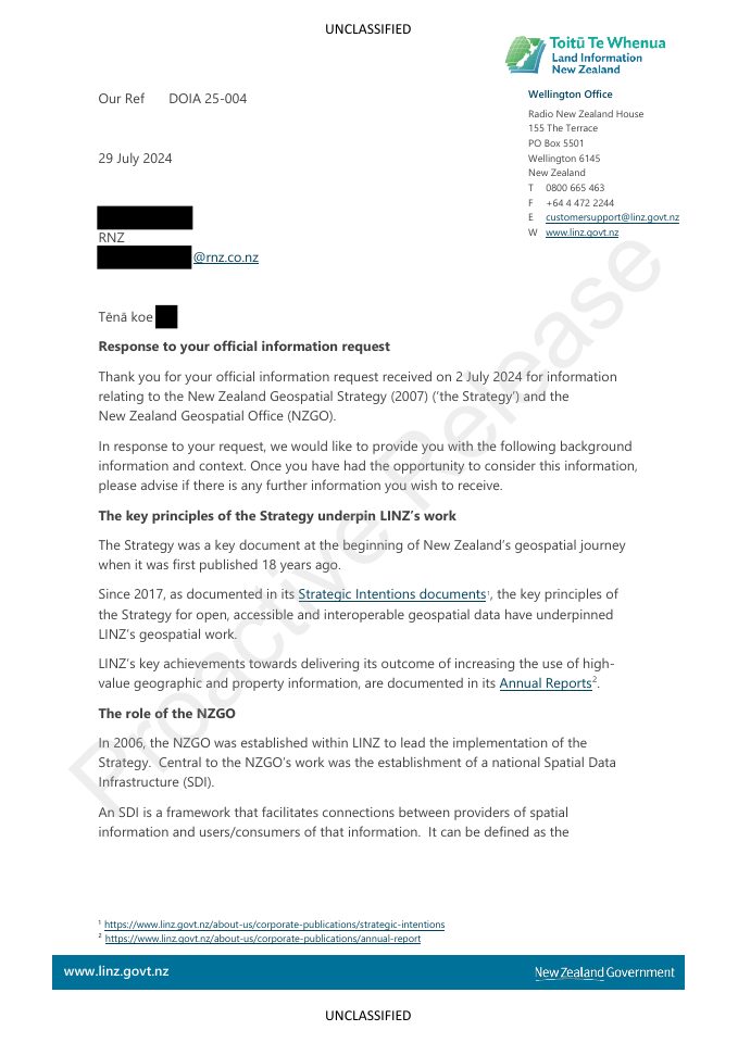
Explains how NZGO functions were distributed across LINZ in 2017 and describes changes in cross-government geospatial leadership.
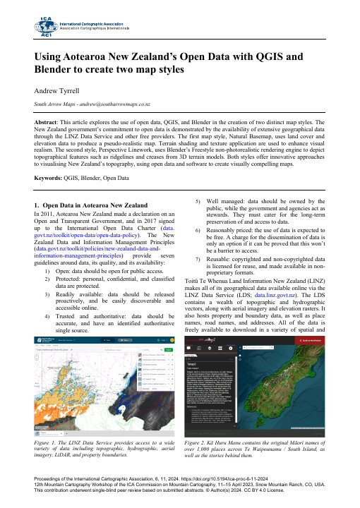
Andrew Tyrrell
Shows how LINZ and other open New Zealand spatial data can be styled into a natural basemap and a perspective linework map using QGIS and Blender.
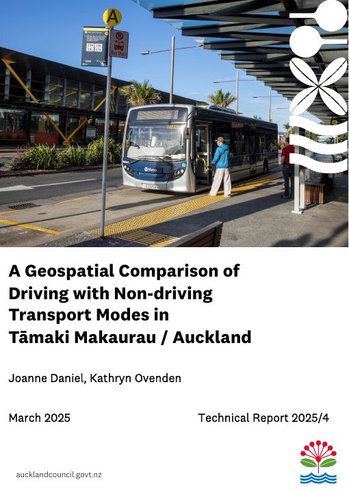
Joanne Daniel and Kathryn Ovenden
Uses geocoded survey trips and spatial analysis to compare car journeys with public transport, cycling and walking across Auckland.
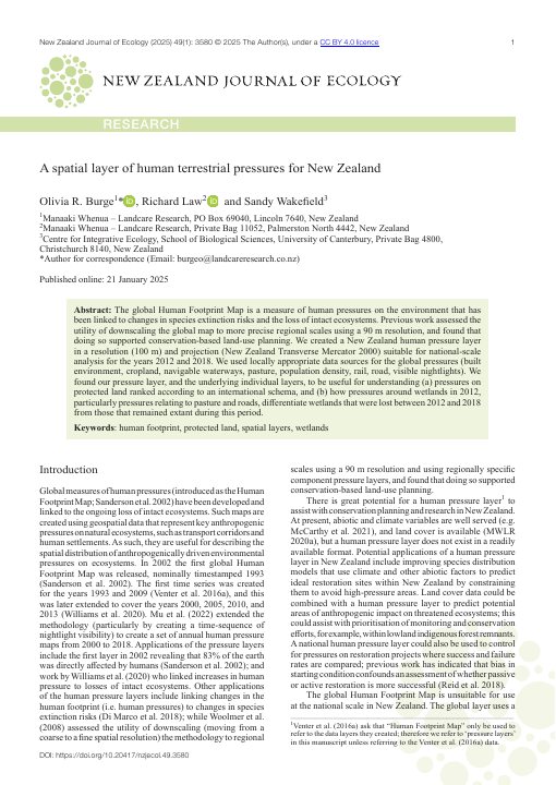
Olivia R. Burge, Richard Law and Sandy Wakefield
Builds a 100-metre national spatial layer of eight human-pressure components in NZTM2000 and demonstrates its use for protected land and wetlands.
Woolpert for Auckland Council
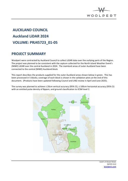
Project summary for the 2024 LiDAR collection over Auckland’s outlying areas, including the capture blocks, processing, validation and delivered products.
Helen Nathan, Robert Schadewinkel and Nick Mulgan
Uses spatially explicit pest monitoring to examine probable ship-rat reinvasion patterns in a New Zealand ecosanctuary.
Richard Law, Simon Planzer, James Ardo and Stella Belliss
Documents a pilot national land-use map built from public datasets, its validation and the gaps that limit present coverage and accuracy.
Grace B. Villamor, Benjamin S. C. Steer, Alliyah Baluyot and Dean F. Meason
Applies intensity analysis to rural land-use transitions across the North Island, including changes among pastoral, native-forest and exotic-forest uses.
Cong Xu, Anna Manning, Ning Ye and Justin Morgenroth
Reviews changes in the use of GIS, remote sensing and other geospatial technologies across New Zealand’s plantation forestry sector over a decade.
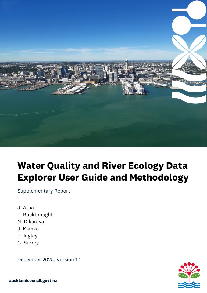
J. Atoa, L. Buckthought, N. Dikareva, J. Kamke, R. Ingley and G. Surrey
Auckland Council guide to a web-based water quality and river ecology data explorer for regional monitoring data.
Chris Massey, Kerry Leith, Tom Robinson, Biljana Lukovic, Sam McColl, Trevor Carey-Smith, Brenda Rosser, Liam Wotherspoon, Hugh Smith, Harley Betts, Rob Buxton and Janine Bidmead
Analyses a large human-mapped landslide inventory from Cyclone Gabrielle to examine spatial controls and landslide occurrence across affected regions.
No publications match this filter. Select All publications to see the complete collection.