NEW ZEALANDGIS History
Menu

Land and environmental datasets

River Environment Classification (REC2)

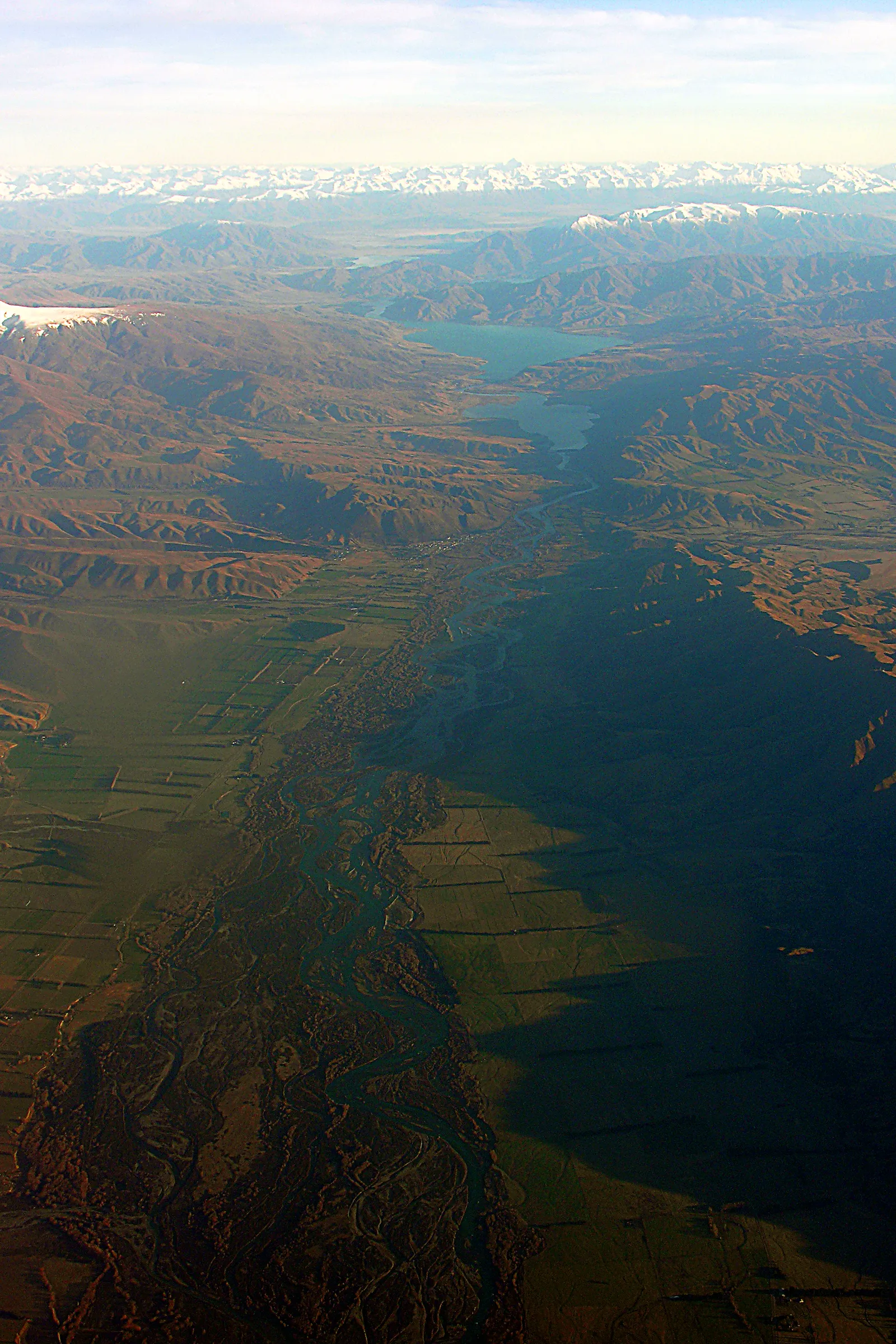
Waitaki River and Benmore Dam, Otago, New Zealand, 22 July 2005
Historical aerial photograph: Waitaki River and Benmore Dam, Otago, New Zealand, 22 July 2005Aerial photograph of the Waitaki River, illustrating river geography rather than the REC network.Image source, credit and licence →
Dataset

NIWA's connected national river-segment and catchment network with environmental attributes.

NIWA built the River Environment Classification to describe New Zealand river segments and their catchments using physical and environmental attributes. Its network topology links upstream and downstream reaches, allowing catchment modelling and comparisons across regions.

Sources · 1
  1. NIWA, River Environment Classification

REC2 replaced and corrected aspects of the original network, using improved underlying elevation information and updated land-cover inputs. NIWA documents its use in national catchment models such as CLUES and TopNet.

Sources · 1
  1. NIWA, River Environment Classification
Related source links · 2
  1. Related history
  2. NIWA, River Environment Classification
Sources and further reading · 1
  1. NIWA, River Environment Classification