Image archive Image details
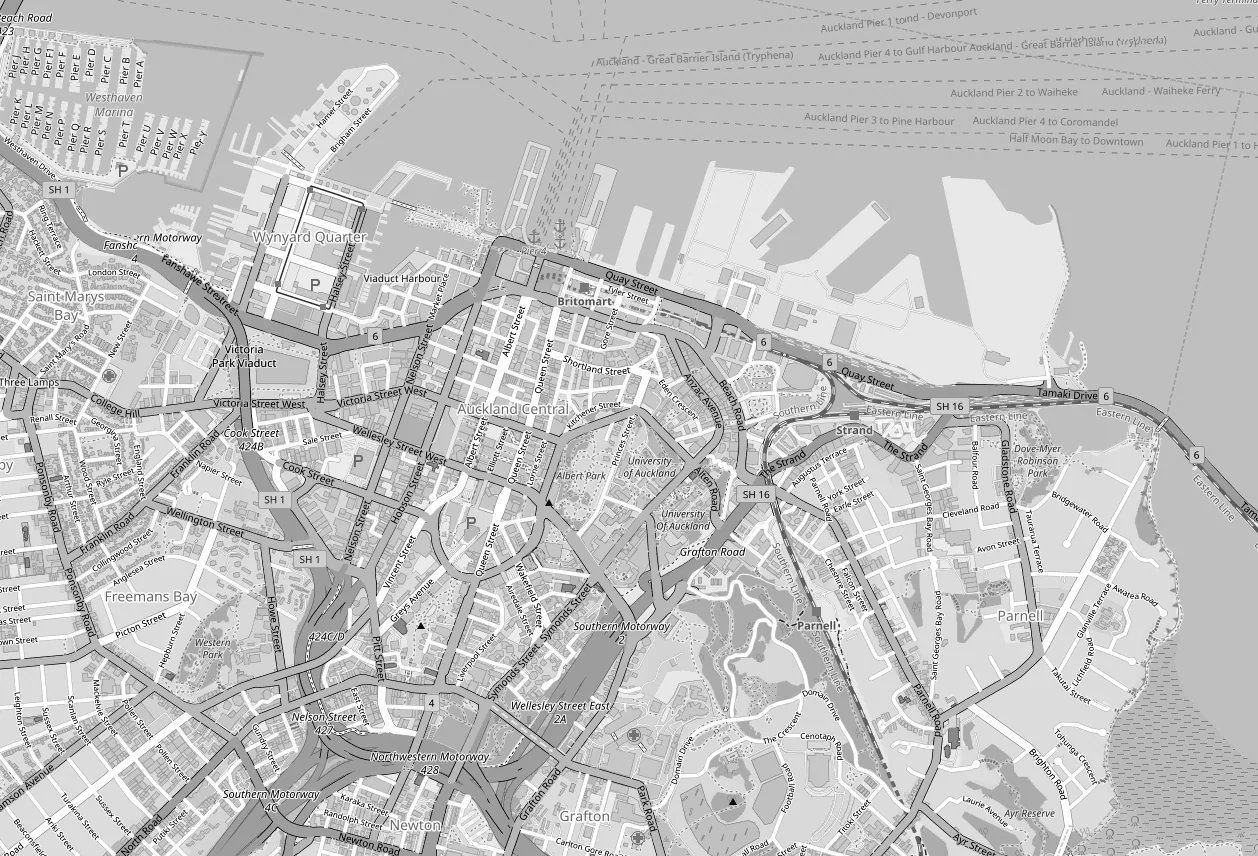
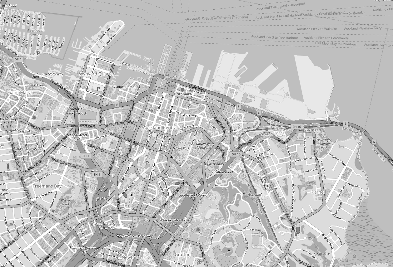
Black-and-white OpenStreetMap map of central Auckland
About this image
A rendered map product, not an interface screenshot or proof of a specific commercial web application.
Download the original locally stored image
Attribution
Source and reuse
- Published on
- Wikimedia Commons
- Credit
- © OpenStreetMap contributors; cartographic file via Wikimedia Commons
- Image date
- 9 July 2018
- Original source filename
- File:Auckland CBD Map BW.png
- Original dimensions
- 1258 × 856 pixels
- Original SHA-256
34f8aa6c917dd44d0df4ca8900d8ce264b849c2dd57c41556fccfe7ddaf3deab- Local copy
- The reader displays a local copy so the image remains available if the original page changes.