Image archive Image details
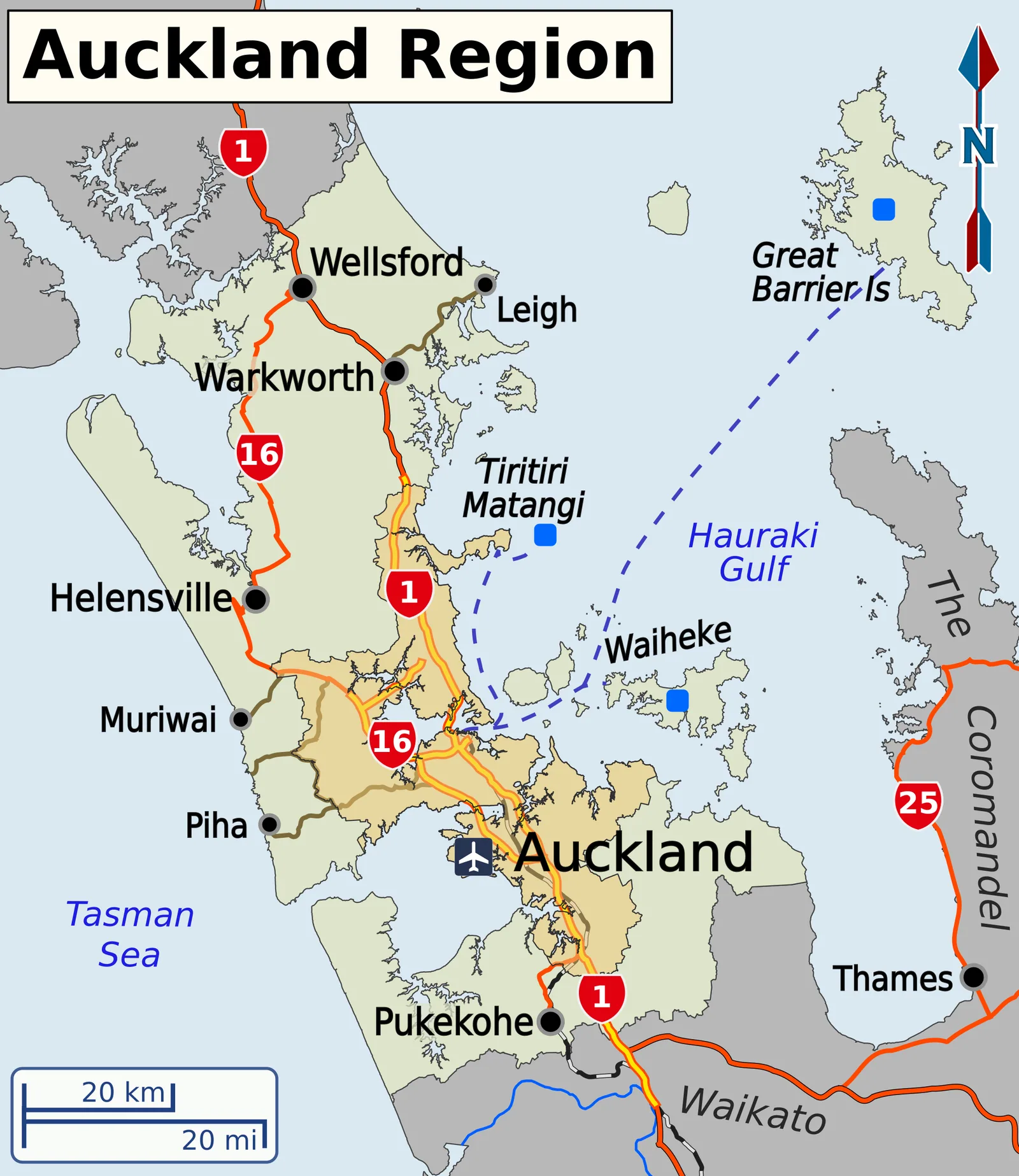
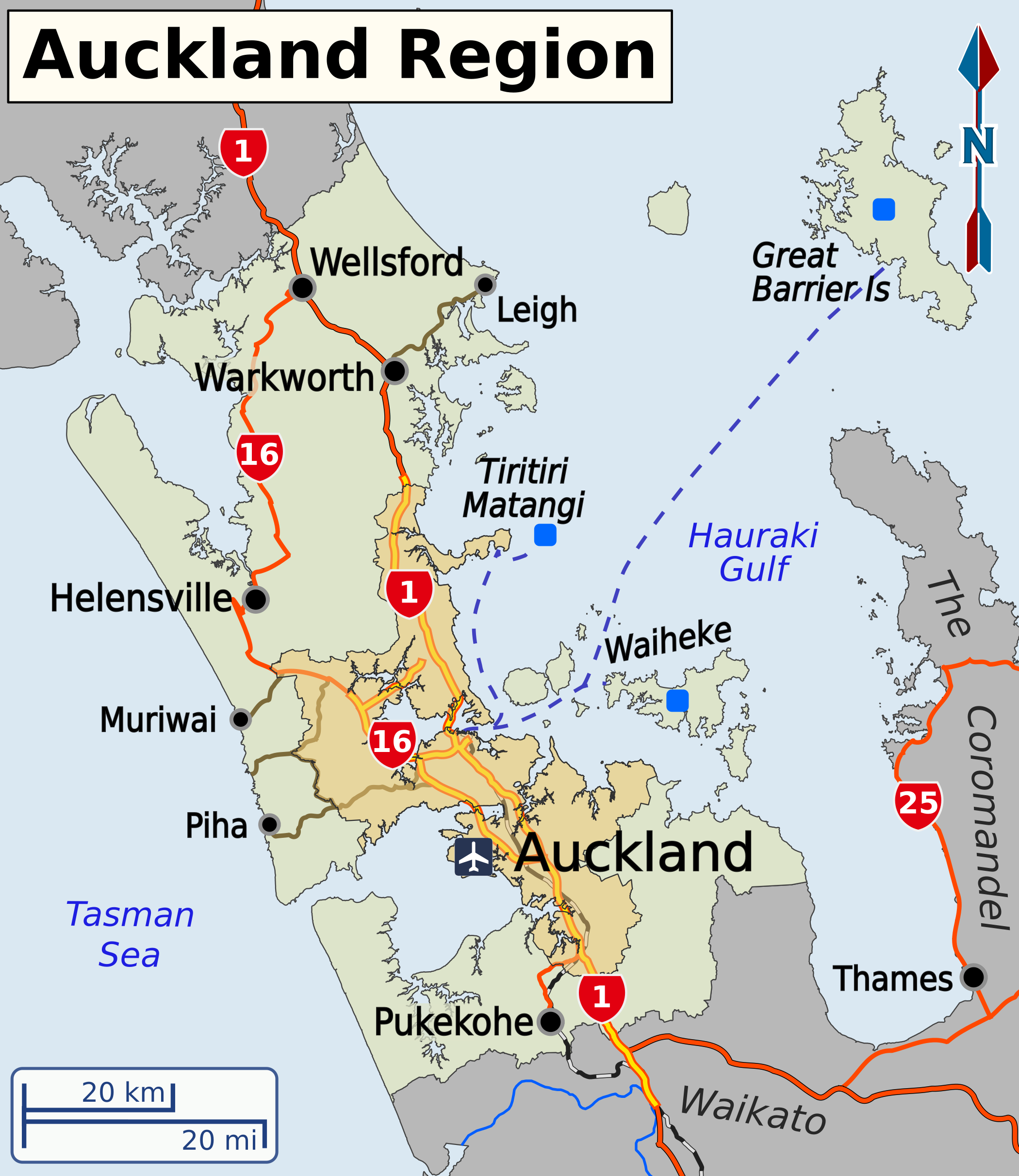
Road hierarchy and routes across the Auckland region
About this image
A named contemporary cartographic example of roads as networked spatial data. It does not establish when road-centreline or property datasets were digitised.
Download the original locally stored image
Attribution
Source and reuse
- Published on
- Wikimedia Commons
- Credit
- Shaundd; OpenStreetMap-derived mapping with LINZ base information where attributed on Commons
- Image date
- publication date to confirm at source
- Original source filename
- File:Auckland Region map EN.png
- Original dimensions
- 2100 × 2424 pixels
- Original SHA-256
f44481ed0d8cff23636f64aba5b3cd5f4fd910517859df92ca7360270199267d- Licence
- CC BY-SA 4.0
- Local copy
- The reader displays a local copy so the image remains available if the original page changes.