Image archive Image details
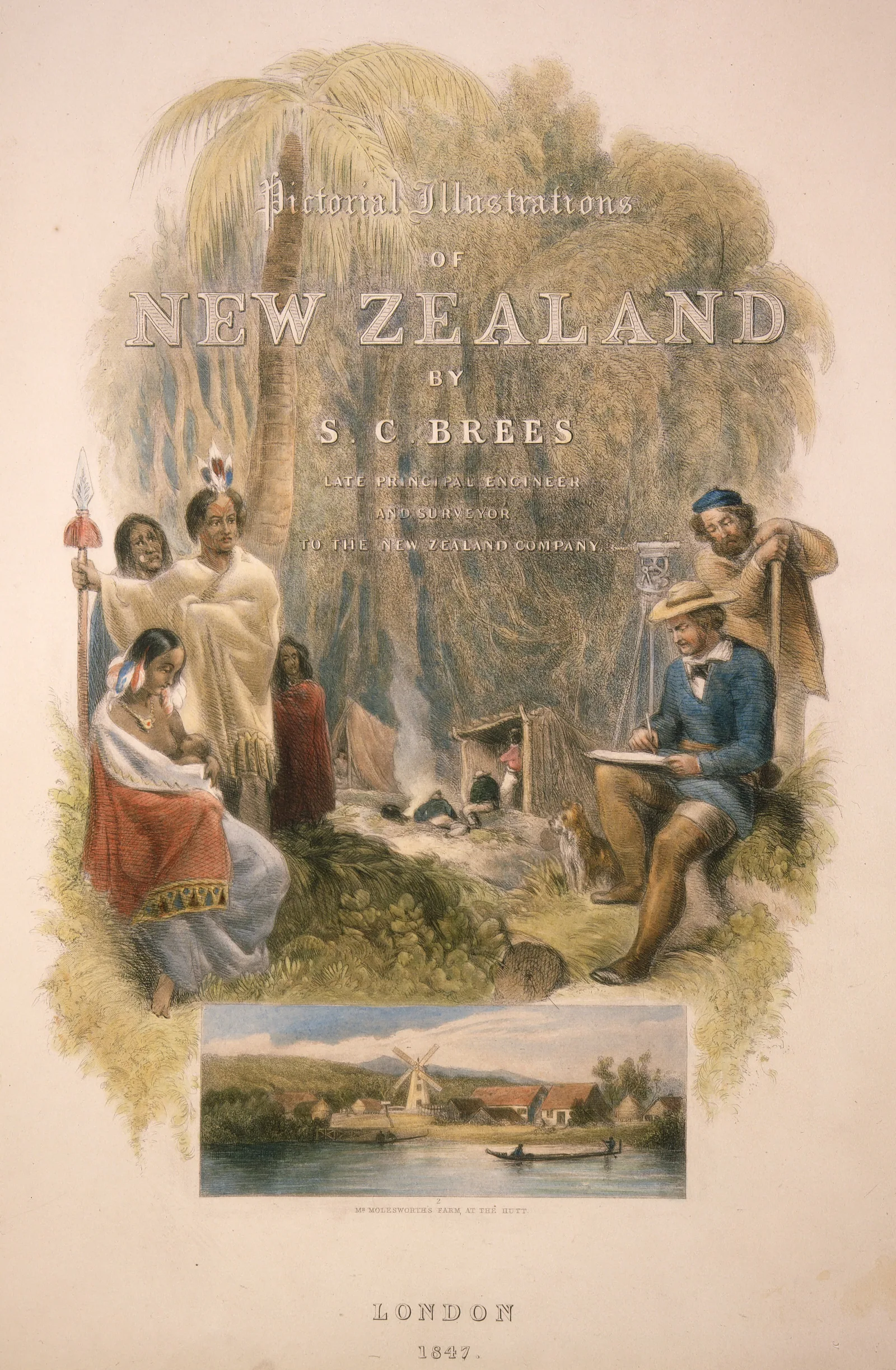
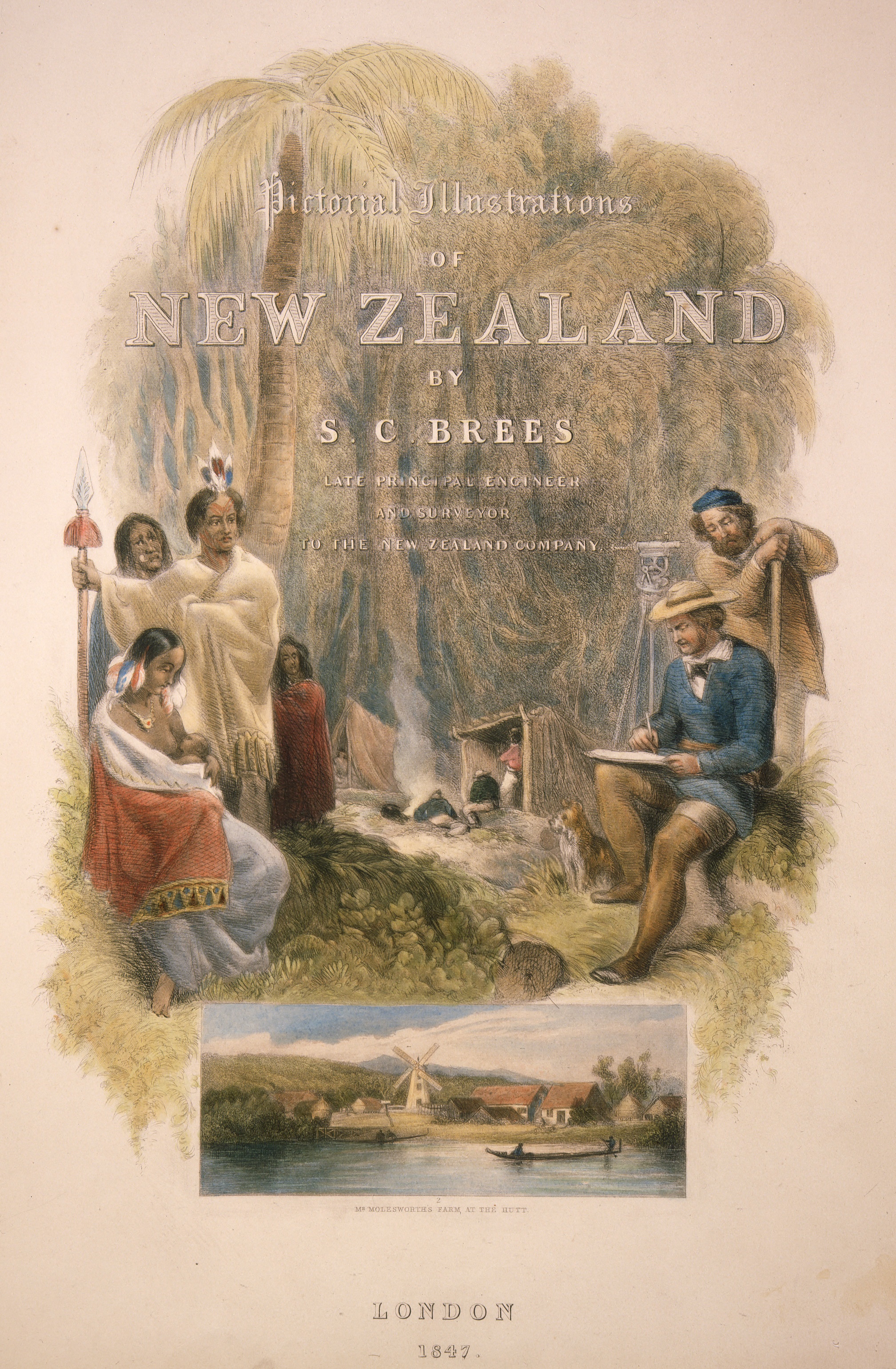
Surveying and sketching in Porirua Bush in the 1840s
About this image
The published illustration shows the observations and field measurements that preceded electronic survey calculation. It is historical surveying, not digital computation.
Download the original locally stored image
Attribution
Source and reuse
- Published on
- Wikimedia Commons
- Credit
- Samuel Charles Brees (1810–1865); Alexander Turnbull Library historical image
- Image date
- circa 1844–1845
- Original source filename
- File:Pictorial Illustrations of New Zealand.jpg
- Original dimensions
- 2017 × 3081 pixels
- Original SHA-256
787aa1484b0ab2deb5369459ee7acfc120d14d93869b30ecbe37a1c38fe48921- Licence
- Public domain
- Local copy
- The reader displays a local copy so the image remains available if the original page changes.