Image archive Image details
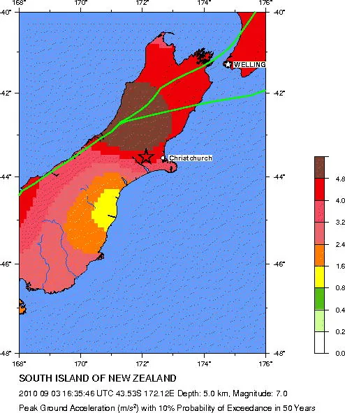
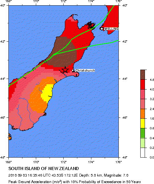
Seismic hazard around the 2010 Canterbury earthquake epicentre
About this image
Original USGS hazard map associated with the 2010 Darfield earthquake. It illustrates background seismic risk geography rather than observed ground shaking or Jithen Singh's earthquake response GIS.
Download the original locally stored image
Attribution
Source and reuse
- Published on
- Wikimedia Commons / U.S. Geological Survey
- Credit
- Global Seismic Hazard Assessment Program, United States Geological Survey; public-domain federal government map.
- Image date
- 3 September 2010
- Original file source
- View the source-original image
- Original source filename
- File:Seismic hazard map around epicentre of 2010 Canterbury earthquake.jpg
- Original dimensions
- 494 × 592 pixels
- Original SHA-256
38f0b63f5b16edf07ab4f4d006c703c2abce9d3e1511e81dd0d92161074e9d2f- Licence
- Public domain
- Reuse conditions
- Publisher's licence statement
- Display preparation
- Local original stored unchanged; WebP display width up to 1600 pixels and thumbnail width up to 720 pixels, resized without cropping.
- Local copy
- The reader displays a local copy so the image remains available if the original page changes.