Image archive Image details
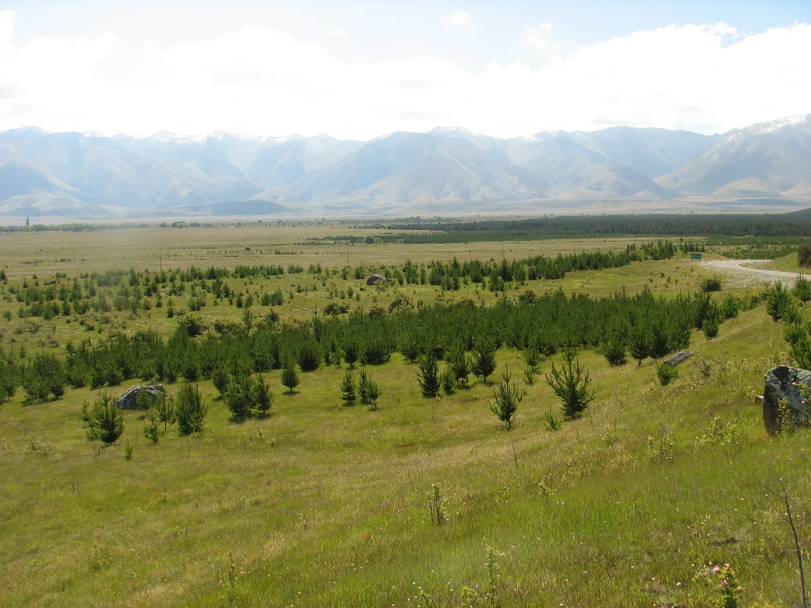
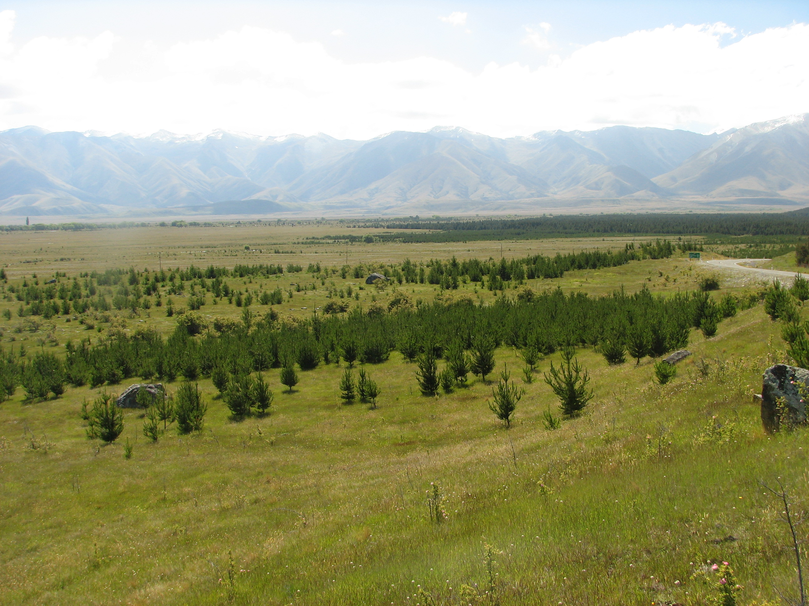
Wilding pines beside State Highway 80, Canterbury
About this image
A documented New Zealand forestry-management landscape illustrating one subject of GIS-based land-cover inventories and control planning. The photograph itself is not a GIS map.
Download the original locally stored image
Attribution
Source and reuse
- Published on
- Wikimedia Commons
- Credit
- Alan Liefting
- Image date
- date not stated in Commons extracted metadata
- Original source filename
- File:Wilding pines, Canterbury, New Zealand.jpg
- Original dimensions
- 2592 × 1944 pixels
- Original SHA-256
974a04a5cd6de0a0900483de0d9703228c9163158a00dc053b34158d38861237- Licence
- Public domain
- Local copy
- The reader displays a local copy so the image remains available if the original page changes.