Image archive Image details
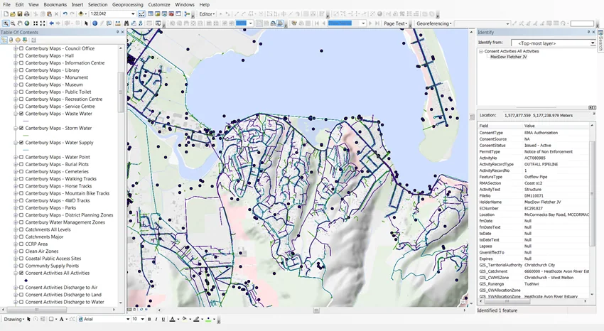
Canterbury Maps datasets inside ArcGIS Desktop
About this image
Directly labelled ArcGIS Desktop figure 2 in a Canterbury Maps case study, illustrating council GIS services in engineering rather than the 1989 initial council implementations.
Read the illustrated passage in Council GIS →
Download the original locally stored image
Attribution
Source and reuse
- Published on
- Canterbury Maps / Aurecon
- Credit
- Canterbury Maps / Aurecon, case-study figure 2.
- Image date
- Pre-2025 case study; exact screen capture year unstated
- Original file source
- View the source-original image
- Original source filename
- aurecon_fig2.png
- Original dimensions
- 850 × 466 pixels
- Original SHA-256
bdd99d54b14f01b561259f217e39e29720dbb4660bf929ebba2019845483b347- Reuse conditions
- Publisher's licence statement
- Display preparation
- Publisher original preserved unchanged locally; WebP reading and card versions resized without cropping. Captured software date and case-study context remain qualified.
- Local copy
- The reader displays a local copy so the image remains available if the original page changes.