Image archive Image details
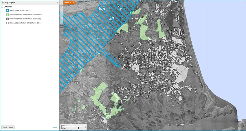
Canterbury Maps web GIS viewer in an Aurecon case study
About this image
A publisher-described operational New Zealand web GIS example, related to the longer trend towards browser access to spatial information.
Read the illustrated passage in Open spatial data →
Download the original locally stored image
Attribution
Source and reuse
- Published on
- Canterbury Maps / Aurecon
- Credit
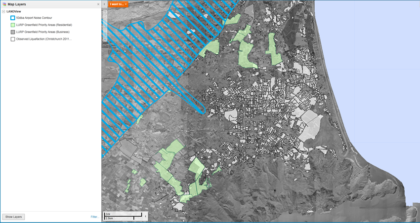
- Canterbury Maps / Aurecon, case-study figure 1.
- Image date
- Pre-2025 case study; exact screen capture year unstated
- Original file source
- View the source-original image
- Original source filename
- aurecon_fig1.png
- Original dimensions
- 850 × 452 pixels
- Original SHA-256
3c36085e0c9532d782e227aa7df8a7edb100c0387f2ceba3d5b145ebadbde05b- Reuse conditions
- Publisher's licence statement
- Display preparation
- Publisher original preserved unchanged locally; WebP reading and card versions resized without cropping. Captured software date and case-study context remain qualified.
- Local copy
- The reader displays a local copy so the image remains available if the original page changes.