Image archive Image details
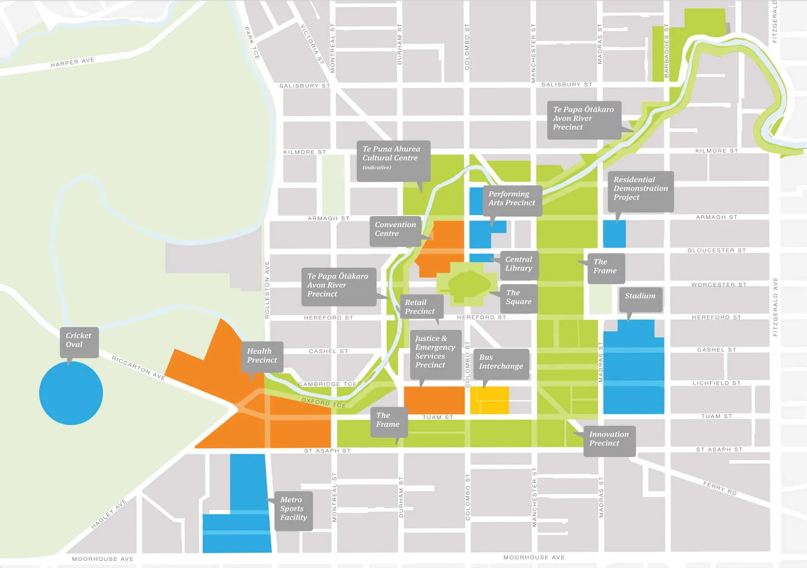
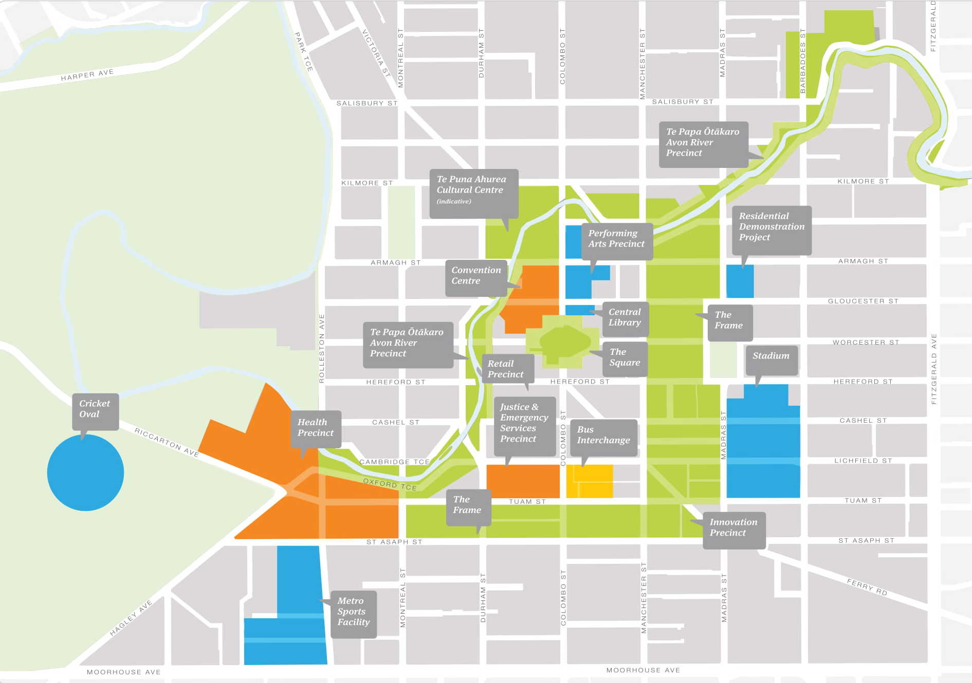
Christchurch Central Recovery Plan anchor projects map, July 2012
About this image
Original map prepared by CERA for its Christchurch Central Recovery Plan, illustrating post-earthquake spatial planning. It is distinct from the CERA Spatial Data Infrastructure service diagrams and parcel/technical-zoning viewers.
Connected records
- Canterbury Earthquake Recovery Authority (CERA) · Produced the original 2012 map
Download the original locally stored image
Attribution
Source and reuse
- Credit
- Canterbury Earthquake Recovery Authority (July 2012). Extracted and cropped on Wikimedia Commons by Schwede66 (2020). Local display derivatives resized without further cropping.
- Image date
- July 2012
- Original file source
- View the source-original image
- Original source filename
- File:Christchurch-central-recovery-plan-anchor-project-map-a3-1_(cropped).jpg
- Original dimensions
- 1891 × 1330 pixels
- Original SHA-256
f9d13c7bea8c3e8ac5c6e615eb16c074ff8df4cf0899d31c13f48487c5be4296- Licence
- CC BY 4.0
- Reuse conditions
- Publisher's licence statement
- Display preparation
- The Wikimedia Commons image is itself an extract cropped from a July 2012 CERA map. Its archive original is preserved verbatim. Local WebP display and card images are resized without further cropping.
- Local copy
- The reader displays a local copy so the image remains available if the original page changes.