Image archive Image details
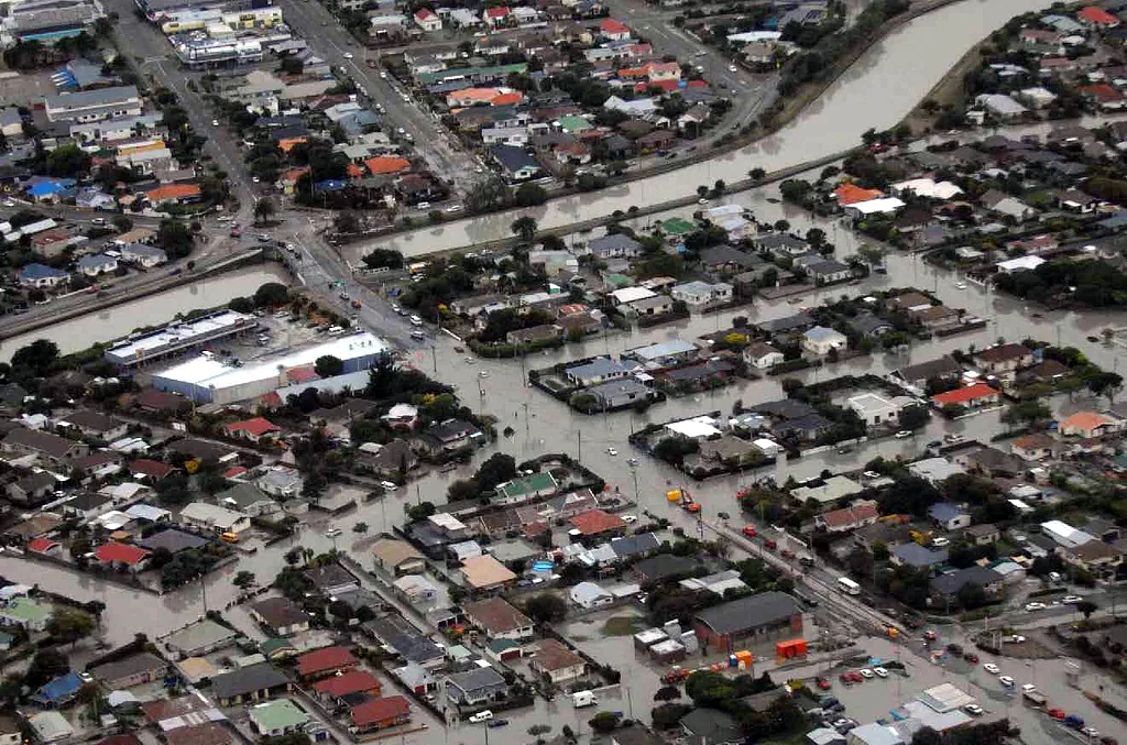
Royal New Zealand Air Force aerial reconnaissance of Christchurch earthquake damage, 2011
About this image
Contemporary NZDF aerial surveillance of the Christchurch earthquake damage on 22 February 2011; documents response imagery, not the subsequent web mapping application.
Attribution
Source and reuse
- Published on
- Wikimedia Commons
- Credit
- New Zealand Defence Force (RNZAF), Crown Copyright 2011; CC BY 2.0
- Image date
- 22 February 2011
- Original file source
- View the source-original image
- Original source filename
- File:Christchurch - 2011 earthquake damage 001.jpg
- Original dimensions
- 1024 × 677 pixels
- Original SHA-256
26db6a731961ca7dc521709bbb0426a196449204ccfd80923bc275c4f05b24af- Licence
- CC BY 2.0
- Reuse conditions
- Publisher's licence statement
- Display preparation
- Original unchanged JPEG preserved in NZ GIS History Research Packages / Wave 3 archive; the website serves uncropped 1600px and 720px WebP derivatives.
- Local copy
- The reader displays a local copy so the image remains available if the original page changes.