Image archive Image details
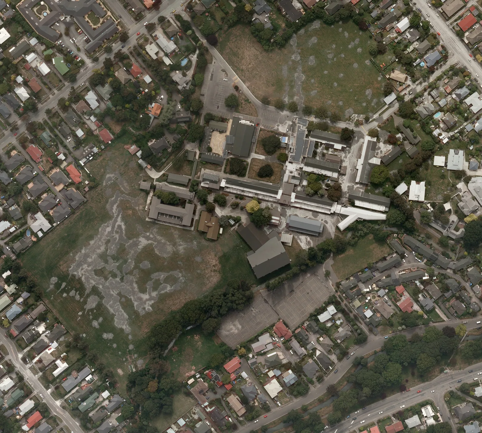
LINZ Christchurch earthquake-response aerial orthophotography, 24 February 2011
About this image
Genuine disaster-response orthophotography captured two days after the 22 February 2011 Christchurch earthquake. It is an operational imagery product, not a screenshot from the Common Operating Picture.
Read the illustrated passage in Disaster response and live mapping →
Download the original locally stored image
Attribution
Source and reuse
- Credit
- New Zealand Aerial Mapping for the Christchurch Response Centre, from LINZ post-earthquake aerial photography. CC BY 3.0 New Zealand.
- Image date
- 24 February 2011
- Original file source
- View the source-original image
- Original source filename
- File:Cashmere High School aerial photo, 24 Feb 2011.jpg
- Original dimensions
- 2561 × 2301 pixels
- Original SHA-256
9656f8777bbf96179d9d5930339aec455cf6c37c936407a7f8d05ba3f0767d9c- Licence
- CC BY 3.0 nz
- Reuse conditions
- Publisher's licence statement
- Display preparation
- Local original stored unchanged; WebP display width up to 1600 pixels and thumbnail width up to 720 pixels, resized without cropping.
- Local copy
- The reader displays a local copy so the image remains available if the original page changes.