Image archive Image details
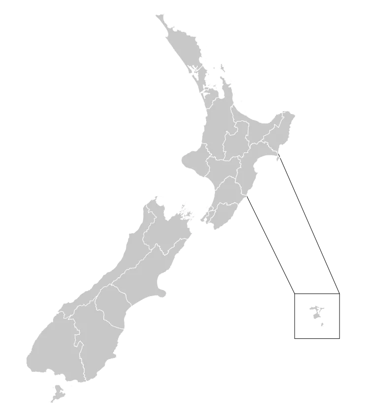
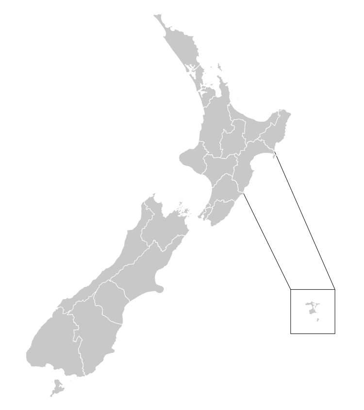
New Zealand District Health Board boundaries, 2001–2010
About this image
This map shows later District Health Board geography, not the census-area denominator used in the 1990s public-health analysis discussed here. It is included to show the administrative health regions that followed.
Read the illustrated passage in Health population and place →
Download the original locally stored image
Attribution
Source and reuse
- Published on
- Wikimedia Commons
- Credit
- Stats NZ; compiled and edited by Air55; based in part on 2006 District Health Board data from the Ministry of Health; via Wikimedia Commons.
- Image date
- 2001–2010
- Original file source
- View the source-original image
- Original source filename
- File:New Zealand District Health Board Map 2001–10 (Blank).svg
- Original dimensions
- 750 × 846 pixels
- Original SHA-256
4ef99b82022fbad157f68ecb8276f59001d5e41a7c2b6e6dedc71f095e4075d2- Licence
- CC BY 4.0
- Reuse conditions
- Publisher's licence statement
- Display preparation
- The locally stored source file is unchanged. Responsive display and card derivatives are resized without cropping and follow the source licence; share-alike terms apply where required.
- Local copy
- The reader displays a local copy so the image remains available if the original page changes.