Image archive Image details
Crown grant map: Crown Grant Map - Jacobs River Hundred, Part Blocks XIV, XVI, Aparima Hundred, Part - Ringway Settlement
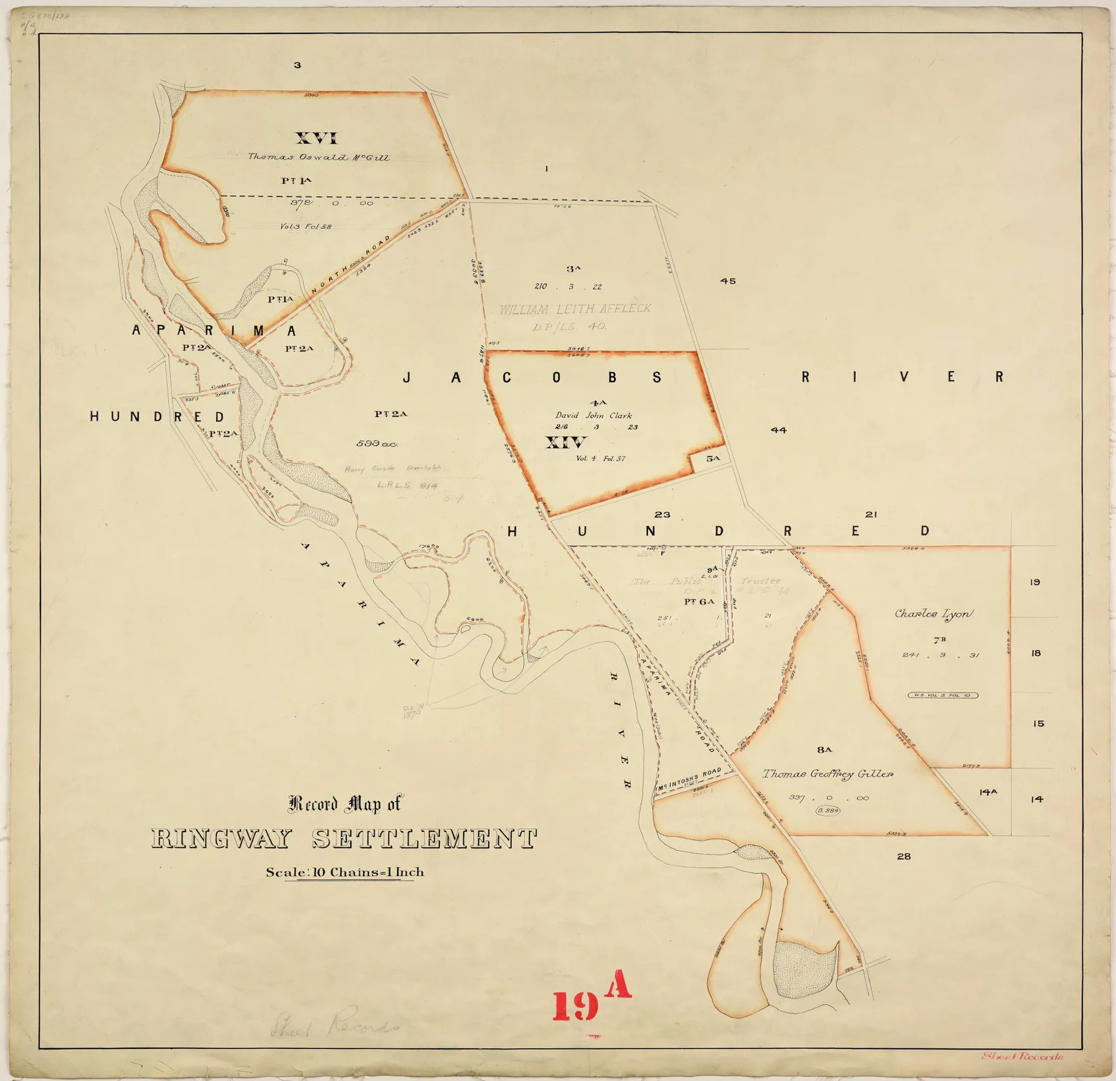
About this image
Documentary original from Wikimedia Commons Crown Grant category. Source and date require interpretation in the cited original record.
Download the original locally stored image
Attribution
Source and reuse
- Published on
- Wikimedia Commons
- Credit
- Department of Lands and Survey, Invercargill District Office; Wikimedia Commons (original uploader/source record)
- Image date
- Historical map, exact date not established
- Original file source
- View the source-original image
- Original source filename
- File:Crown Grant Map - Jacobs River Hundred, Part Blocks XIV, XVI, Aparima Hundred, Part - Ringway Settlement.jpg
- Original dimensions
- 9998 × 9687 pixels
- Original SHA-256
39519bd73a2a0f6874c2461775655a59899ba49b0e0202cd169e0891398b7141- Licence
- CC BY 2.0
- Reuse conditions
- Publisher's licence statement
- Display preparation
- Unaltered source original retained locally, plus uncropped 1600px and 720px WebP renditions.
- Local copy
- The reader displays a local copy so the image remains available if the original page changes.