Image archive Image details
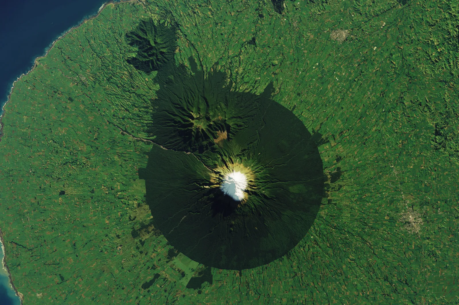
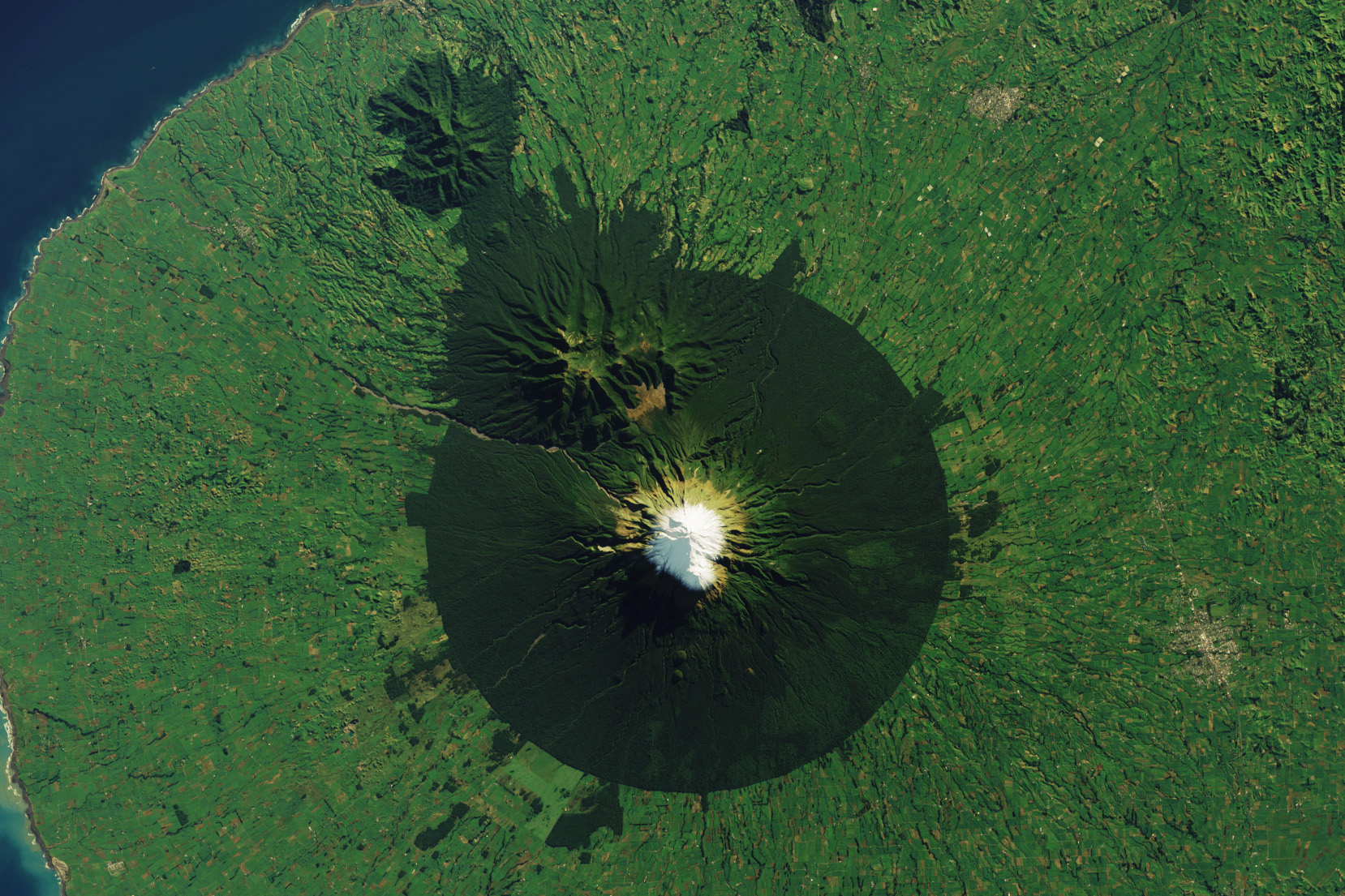
Landsat satellite image: Mount Taranaki’s Ring of Forest (153342)
About this image
Documentary original from Wikimedia Commons Landsat images of New Zealand category. Source and date require interpretation in the cited original record.
Download the original locally stored image
Attribution
Source and reuse
- Published on
- Wikimedia Commons
- Credit
- NASA Earth Observatory image by Wanmei Liang, using Landsat data from the U.S. Geological Survey. Photo by Kathrin & Stefan Marks, used under the Creative Commons Attribution-; Wikimedia Commons (original uploader/source record)
- Image date
- 2023
- Original file source
- View the source-original image
- Original source filename
- File:Mount Taranaki’s Ring of Forest (153342).jpg
- Original dimensions
- 1658 × 1105 pixels
- Original SHA-256
0d7866032d57f0f37f2a95adc325d85ae519d739782ac5b1b8f2f539ad9f0275- Licence
- Public domain
- Reuse conditions
- Publisher's licence statement
- Display preparation
- Unaltered source original retained locally, plus uncropped 1600px and 720px WebP renditions.
- Local copy
- The reader displays a local copy so the image remains available if the original page changes.