Image archive Image details
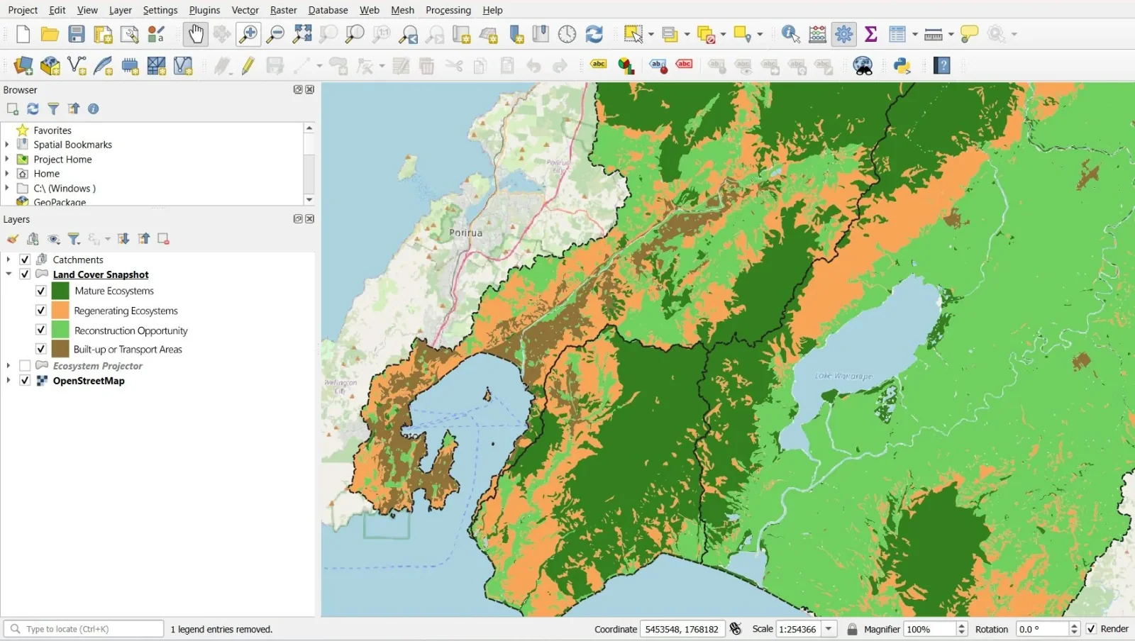
QGIS Land Cover Snapshot mapping ecosystem restoration around Wellington
About this image
A documented computer-era GIS illustration from Eco-index land cover GIS. If the chapter concerns an earlier historical period, this later example illustrates the technology rather than the original installation.
Read the illustrated passage in Land assessment →
Download the original locally stored image
Attribution
Source and reuse
- Published on
- Eco-index land cover GIS
- Credit
- Eco-index land cover GIS (original image publisher)
- Image date
- Publisher figure September 2024
- Original file source
- View the source-original image
- Original source filename
- Land+Cover+Snapshot+-+Sep+2024-e.jpg
- Original dimensions
- 1763 × 996 pixels
- Original SHA-256
e6f8178d05d58d1c825dc8bac3805916cd789aac7f864747e97247b310e3a6e9- Reuse conditions
- Publisher's licence statement
- Display preparation
- Publisher original preserved unchanged locally; WebP reading and card versions resized without cropping. Captured software date and case-study context remain qualified.
- Local copy
- The reader displays a local copy so the image remains available if the original page changes.