Image archive Image details
New Zealand biogeographic subrealm mapped in QGIS
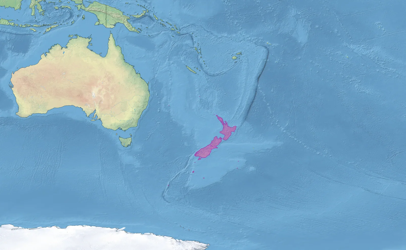
About this image
A specific late-period ecological mapping product useful as a conservation GIS illustration; not evidence of the earlier Department of Conservation GIS platform.
Download the original locally stored image
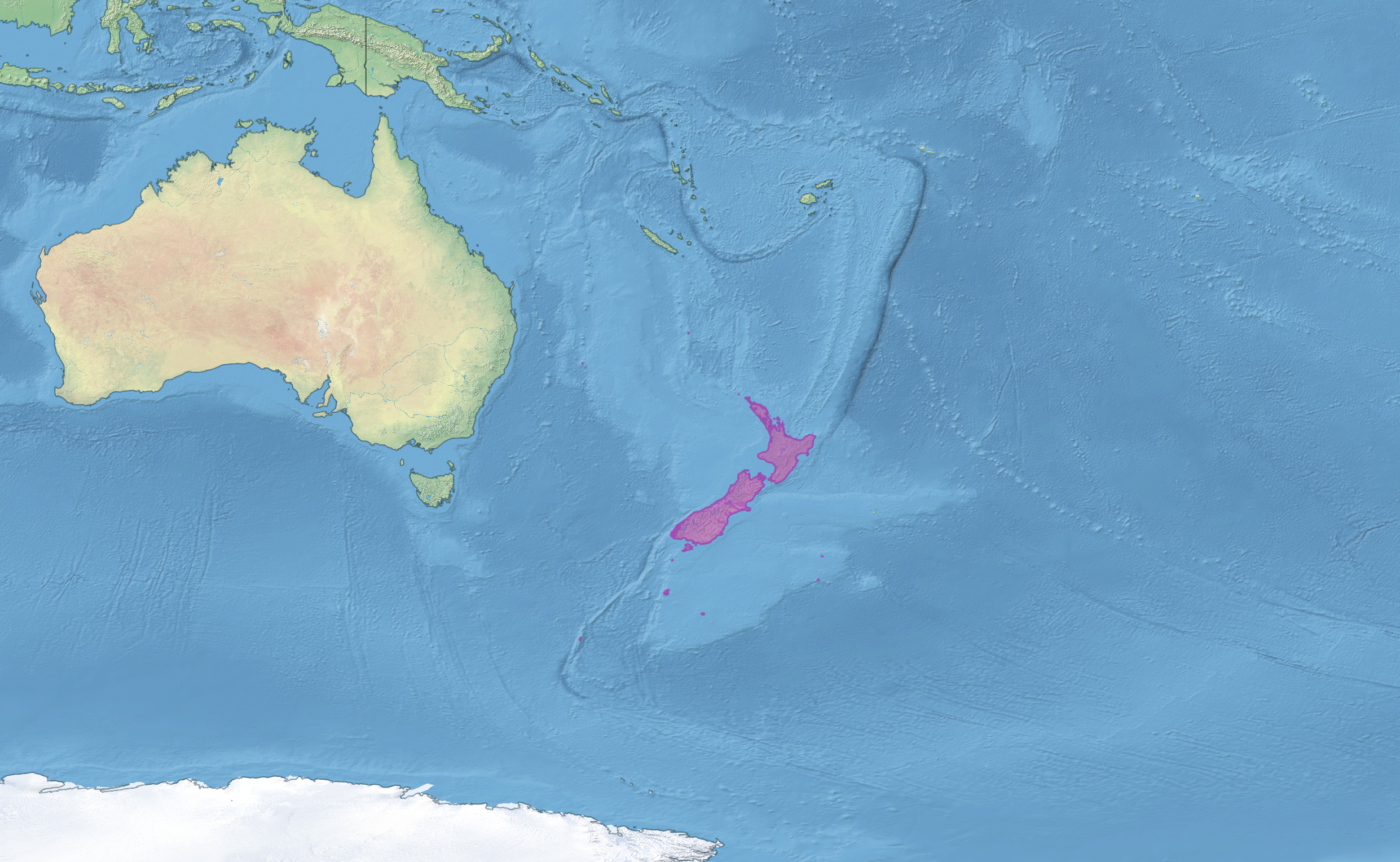
Attribution
Source and reuse
- Published on
- Wikimedia Commons
- Credit
- Wikimedia contributor Z3lvs; Natural Earth and Resolve Ecoregions 2017 source data
- Image date
- 23 October 2025
- Original source filename
- File:New Zealand Subrealm.png
- Original dimensions
- 2482 × 1529 pixels
- Original SHA-256
1e45ae593e4e3d72e0ba1a5f81457fb24c768f2b799c057301d184799203d70f- Licence
- CC BY-SA 4.0
- Local copy
- The reader displays a local copy so the image remains available if the original page changes.