Image archive Image details
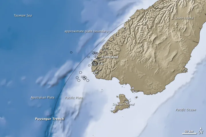
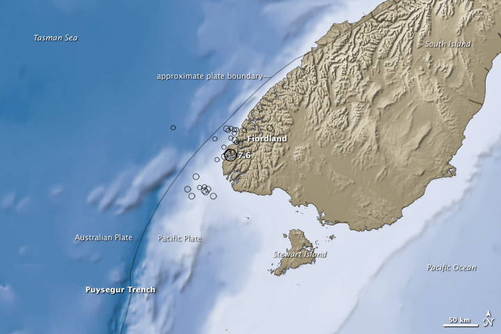
NASA mapping of the 2009 Fiordland earthquake
About this image
A specific analytical earthquake map created from seismic and elevation datasets, representing a published product rather than a real-time operations display.
Download the original locally stored image
Attribution
Source and reuse
- Published on
- Wikimedia Commons
- Credit
- NASA Earth Observatory, Jesse Allen; USGS seismic data; SRTM elevation and ocean-bathymetry sources
- Image date
- 15 July 2009 earthquake; image publication year 2009
- Original source filename
- File:NASA fiordland 2009 earthquake.png
- Original dimensions
- 720 × 480 pixels
- Original SHA-256
f0f5c2681c6406e5dfd83697f076c64720a8992540f7305cba632096ed89db40- Licence
- Public domain (NASA)
- Local copy
- The reader displays a local copy so the image remains available if the original page changes.