Image archive Image details
GeoNet felt reports from the Kaikōura earthquake
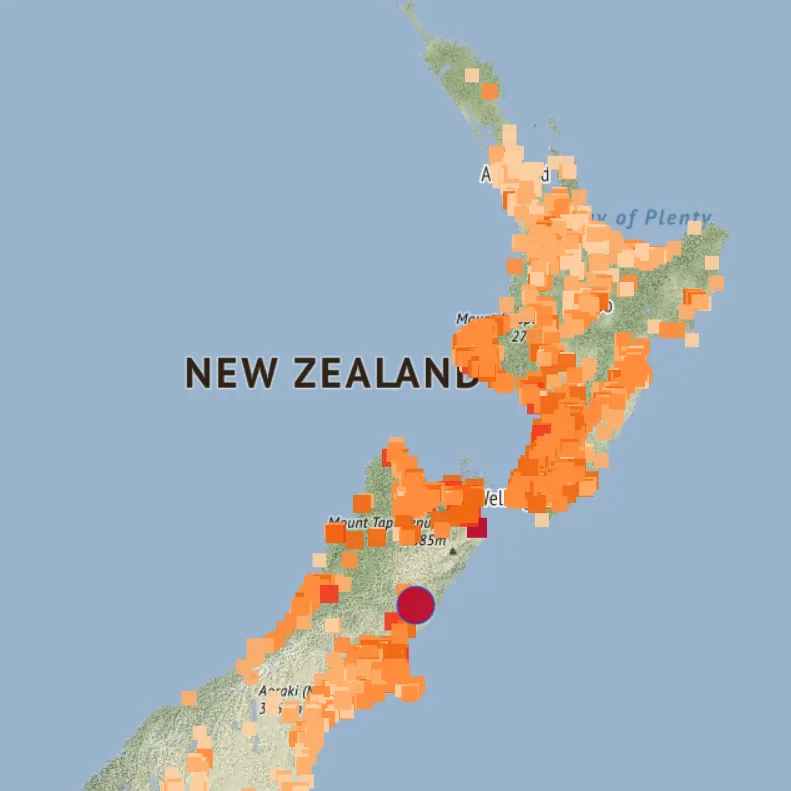
About this image
An actual New Zealand public safety and earthquake-reporting geospatial service. Distinguish the 2016 event from the 2025 screenshot date.
Read the illustrated passage in Disaster response and live mapping →
Download the original locally stored image
Attribution
Source and reuse
- Published on
- Wikimedia Commons
- Credit
- GeoNet and OpenStreetMap contributors
- Image date
- 2016 event; source screen captured 19 June 2025
- Original source filename
- File:GeoNet felt reports 2016 Kaikōura earthquake.png
- Original dimensions
- 791 × 791 pixels
- Original SHA-256
7a1c7c5ae7de12ee58a5220de97c146d067aea63ea4e79e32ec4fed4f23f4253- Licence
- CC BY 3.0 New Zealand
- Local copy
- The reader displays a local copy so the image remains available if the original page changes.