Image archive Image details
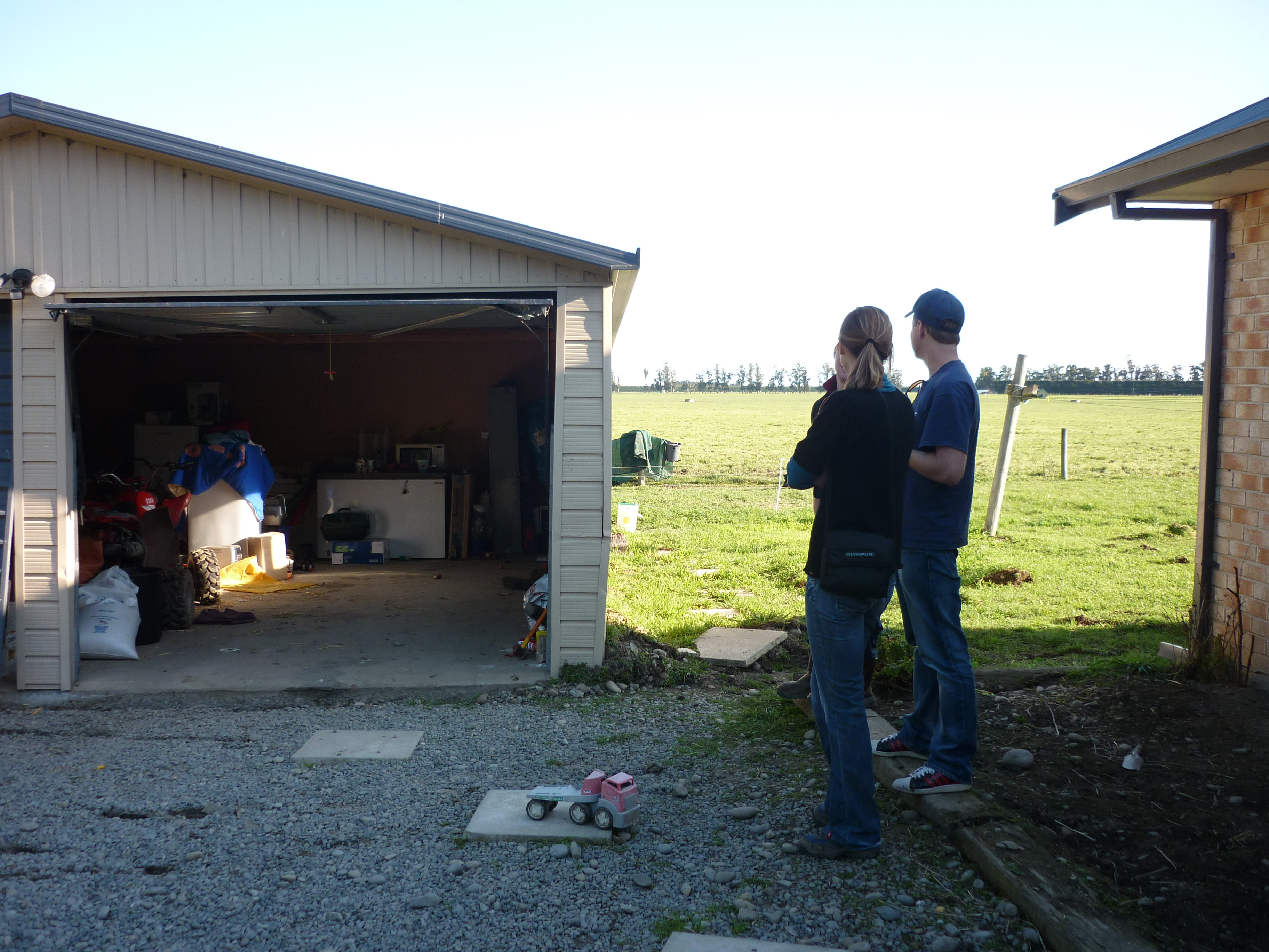
Greendale Fault surface displacement after the 2010 Canterbury earthquake
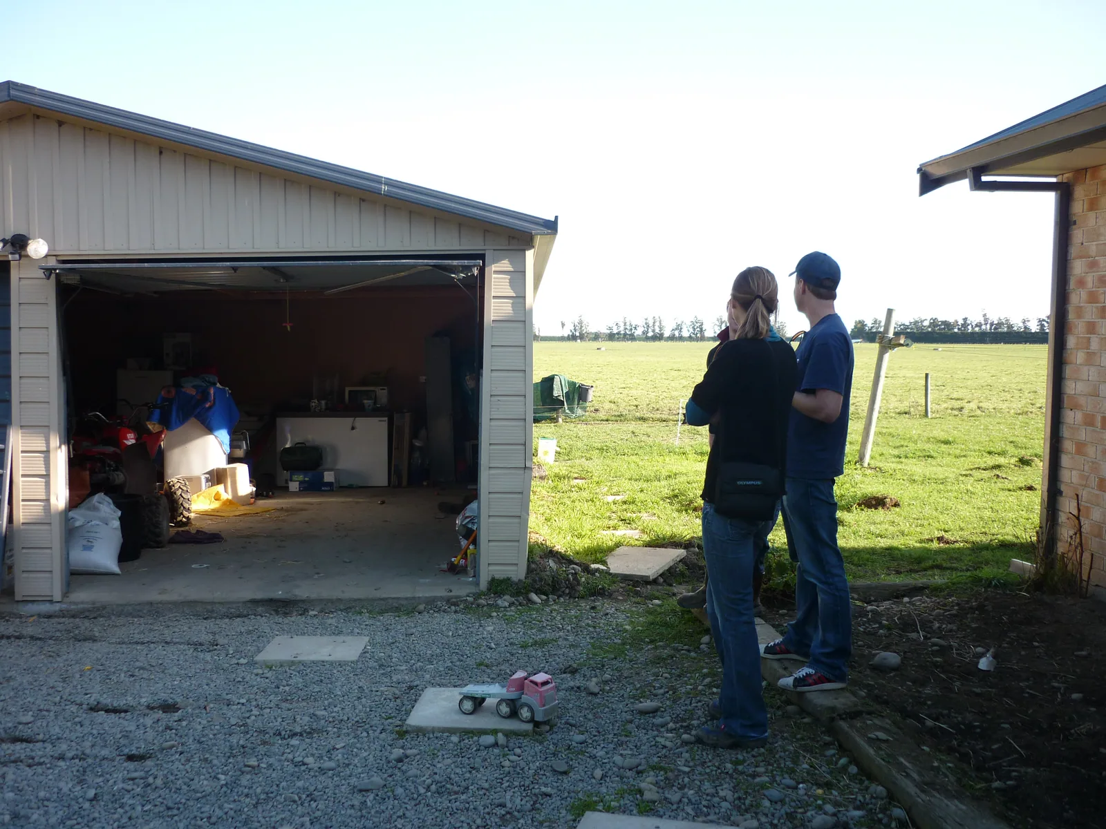
About this image
A dated original photograph of the September 2010 earthquake's physical impact. The image does not show a response mapping application or prove a named agency's GIS use.
Download the original locally stored image
Attribution
Source and reuse
- Published on
- Wikimedia Commons, Flickr original
- Credit
- Brendan Zim; Creative Commons Attribution 2.0 Generic, from Wikimedia Commons. WebP derivatives resized without cropping.
- Image date
- 4 September 2010
- Original file source
- View the source-original image
- Original source filename
- File:Greendale Fault (44).jpeg
- Original dimensions
- 3648 × 2736 pixels
- Original SHA-256
2a1f304fa73baec097bb074cf9d55ef7068c4e348ccce28d36c6baca374e5ea4- Licence
- CC BY 2.0
- Reuse conditions
- Publisher's licence statement
- Display preparation
- Local original stored unchanged; WebP display width up to 1600 pixels and thumbnail width up to 720 pixels, resized without cropping.
- Local copy
- The reader displays a local copy so the image remains available if the original page changes.