Image archive Image details
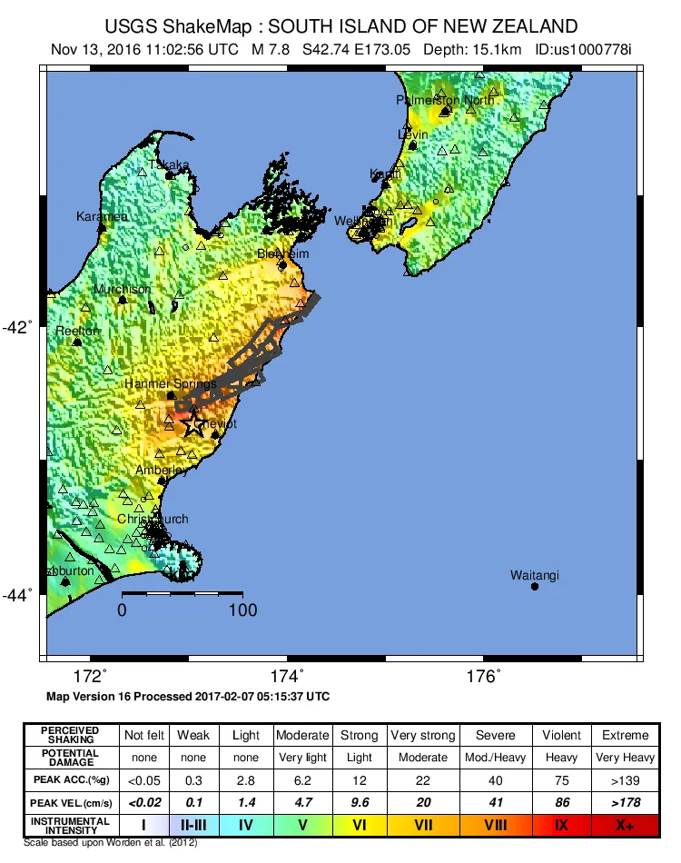
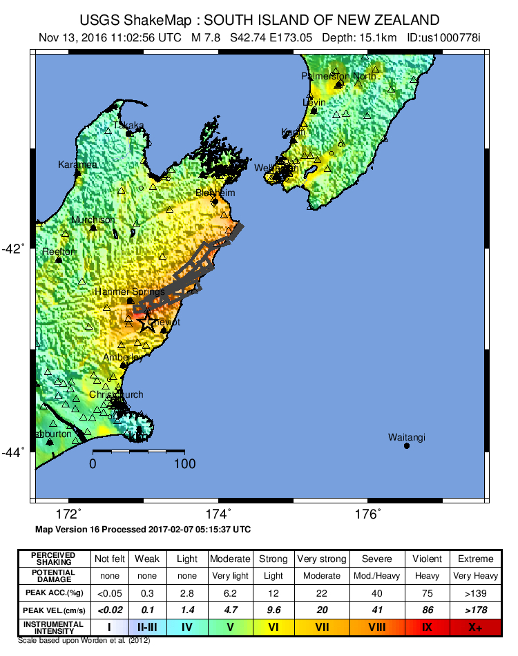
USGS ShakeMap of the Kaikōura earthquake, 2016
About this image
This image was revised after the earthquake; use the version date recorded with its source rather than describing it as the first operational map.
Download the original locally stored image
Attribution
Source and reuse
- Published on
- Wikimedia Commons
- Credit
- United States Geological Survey
- Image date
- 13 November 2016 (event; map subsequently revised to April 2017)
- Original source filename
- File:2016 Kaikoura Earthquake ShakeMap.jpg
- Original dimensions
- 750 × 950 pixels
- Original SHA-256
23ec44fe95b72f2bb7115791479a2b59ad091ad5836f51cbc2539b0eedfa2fa8- Licence
- Public domain (USGS)
- Local copy
- The reader displays a local copy so the image remains available if the original page changes.