Image archive Image details
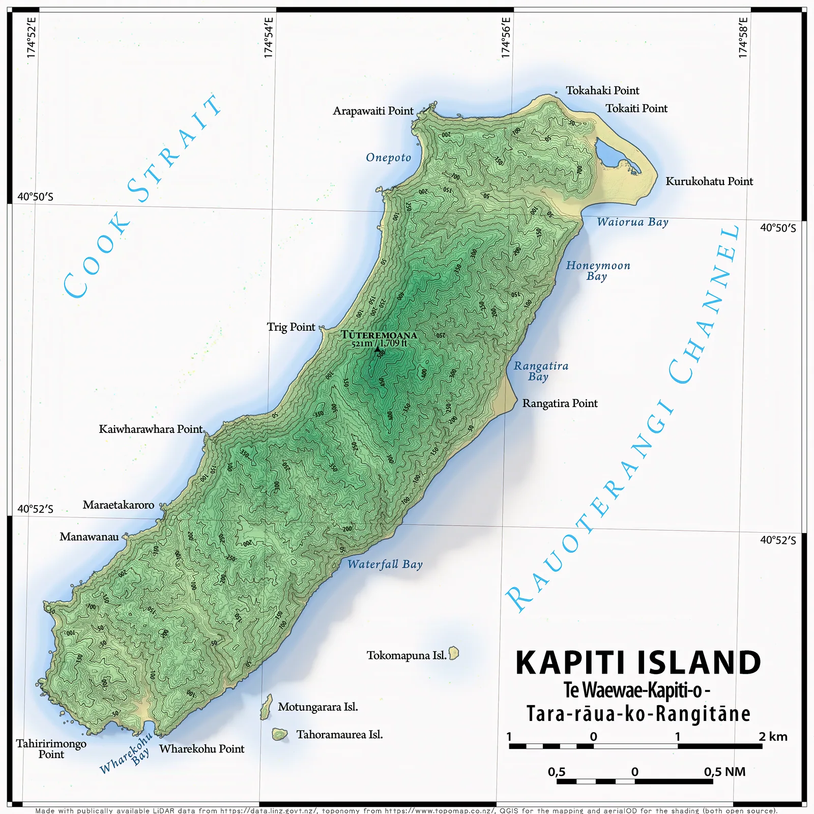
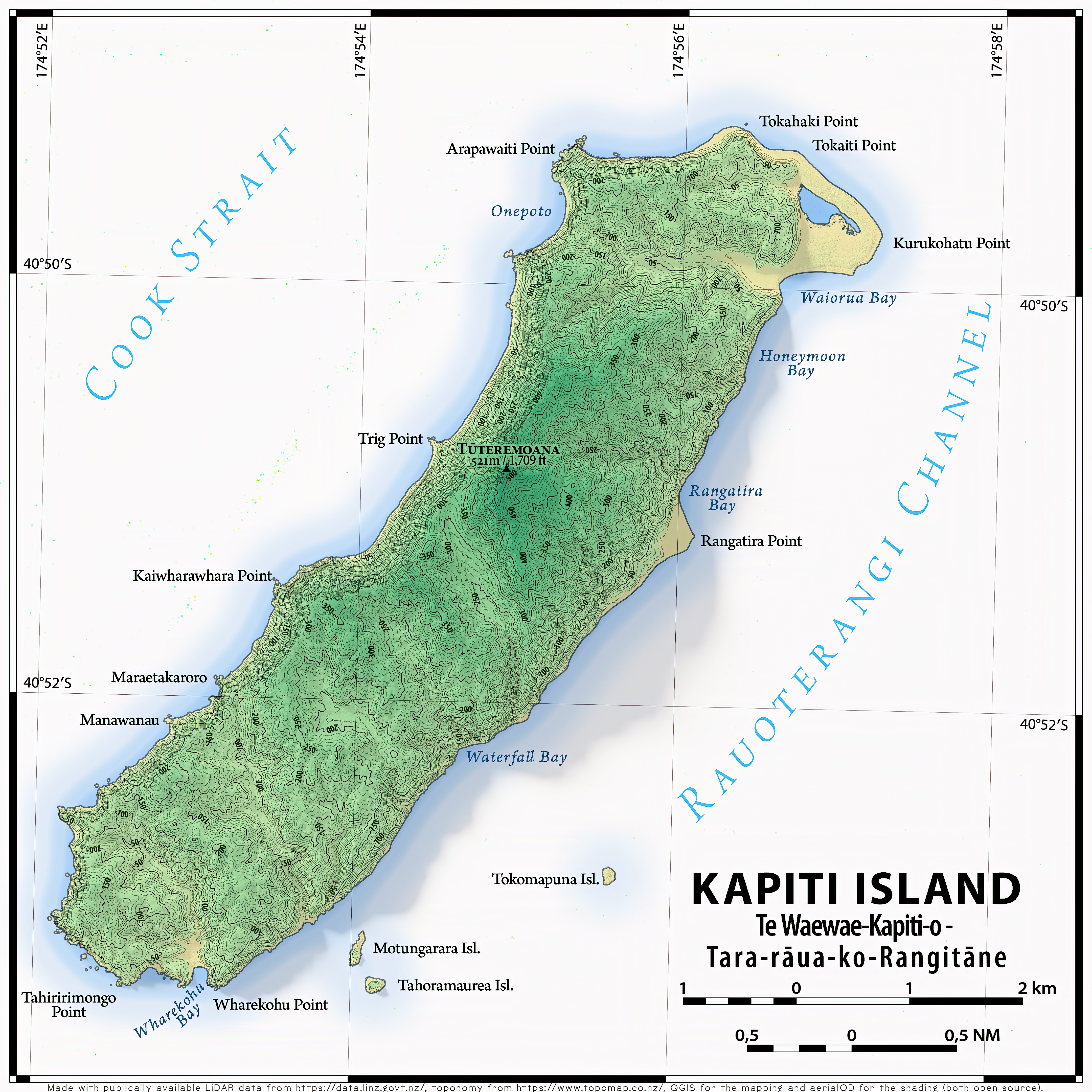
Kāpiti Island terrain depicted with LINZ LiDAR, 2024
About this image
This map is a modern, real LiDAR-derived terrain product. It shows terrain detail possible using high-density elevation measurements; it is not a scan of an early New Zealand LiDAR flight.
Connected records
- Land Information New Zealand (LINZ) · Elevation source
Download the original locally stored image
Attribution
Source and reuse
- Published on
- Wikimedia Commons
- Credit
- Vallee (creator), using LiDAR supplied by LINZ, map labels from Topomap and QGIS/aerialOD cartography. Display derivative resized to WebP; original preserved.
- Image date
- 11 January 2024 (revised 12 January 2024)
- Original file source
- View the source-original image
- Original source filename
- File:Kapiti.png
- Original dimensions
- 4320 × 4320 pixels
- Original SHA-256
0e679a36ad153f5e4814b85191d25a9790c1f9b262568eca33b2106354551551- Licence
- CC BY-SA 4.0
- Reuse conditions
- Publisher's licence statement
- Display preparation
- Local original stored unchanged; WebP display width up to 1600 pixels and thumbnail width up to 720 pixels, resized without cropping.
- Local copy
- The reader displays a local copy so the image remains available if the original page changes.