Image archive Image details
New Zealand passenger rail services shown as a national network
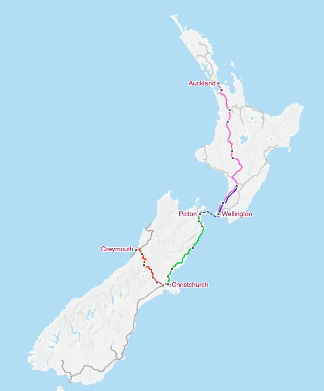
About this image
An actual transport-network map showing edges and connections, useful as a network-cartography example. It is not a water or electricity utility map, nor an original enterprise GIS screen.
Download the original locally stored image
Attribution
Source and reuse
- Published on
- Wikimedia Commons
- Credit
- Jkan997; KiwiRail service information on a CC BY-SA map
- Image date
- source map publication date not established
- Original source filename
- File:KiwiRail passenger train map.png
- Original dimensions
- 645 × 778 pixels
- Original SHA-256
cd52db85f1724e6c9cbc923773a96d113bec2f7c7e437f3ce8758272136bc2b0- Licence
- CC BY-SA 3.0
- Local copy
- The reader displays a local copy so the image remains available if the original page changes.