Image archive Image details
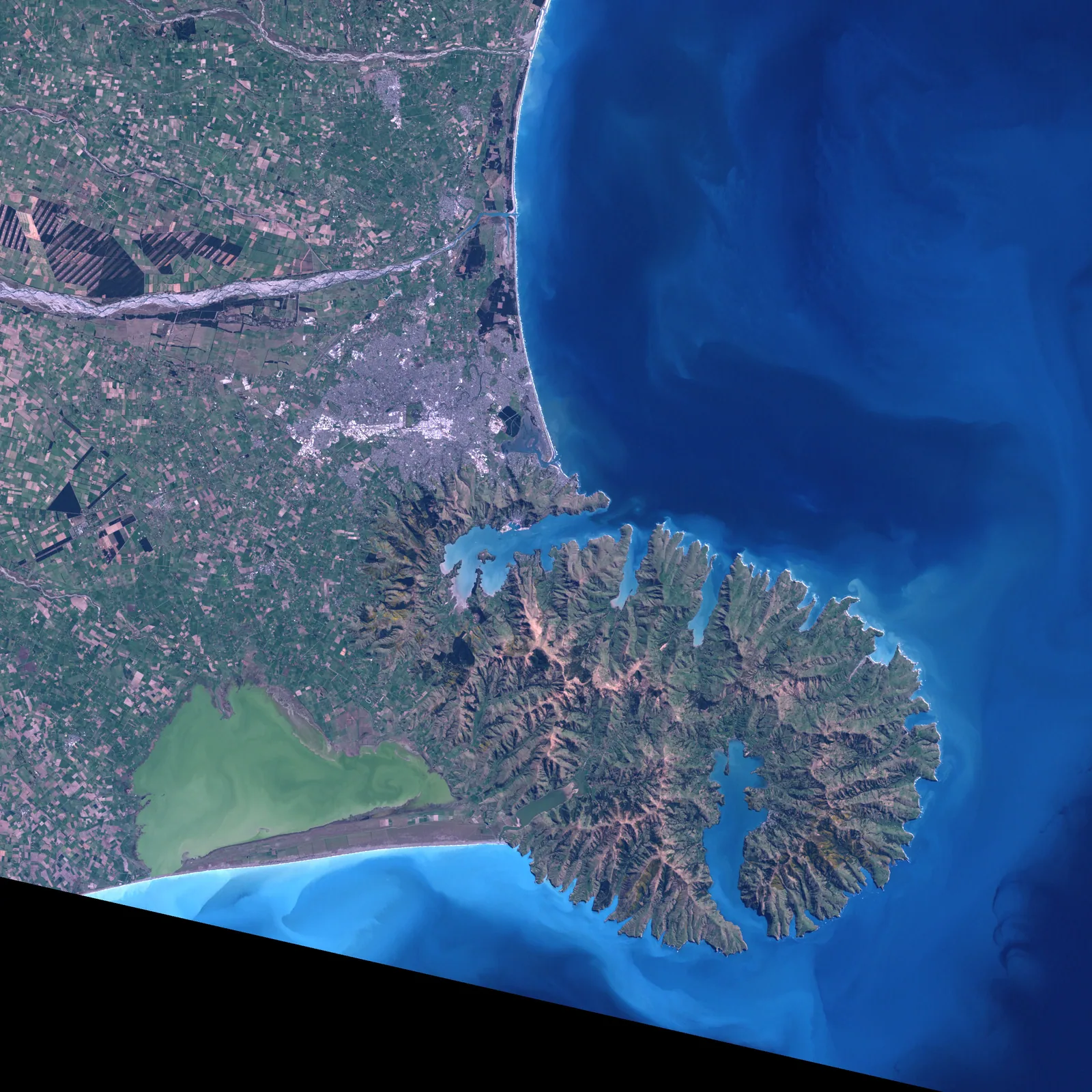
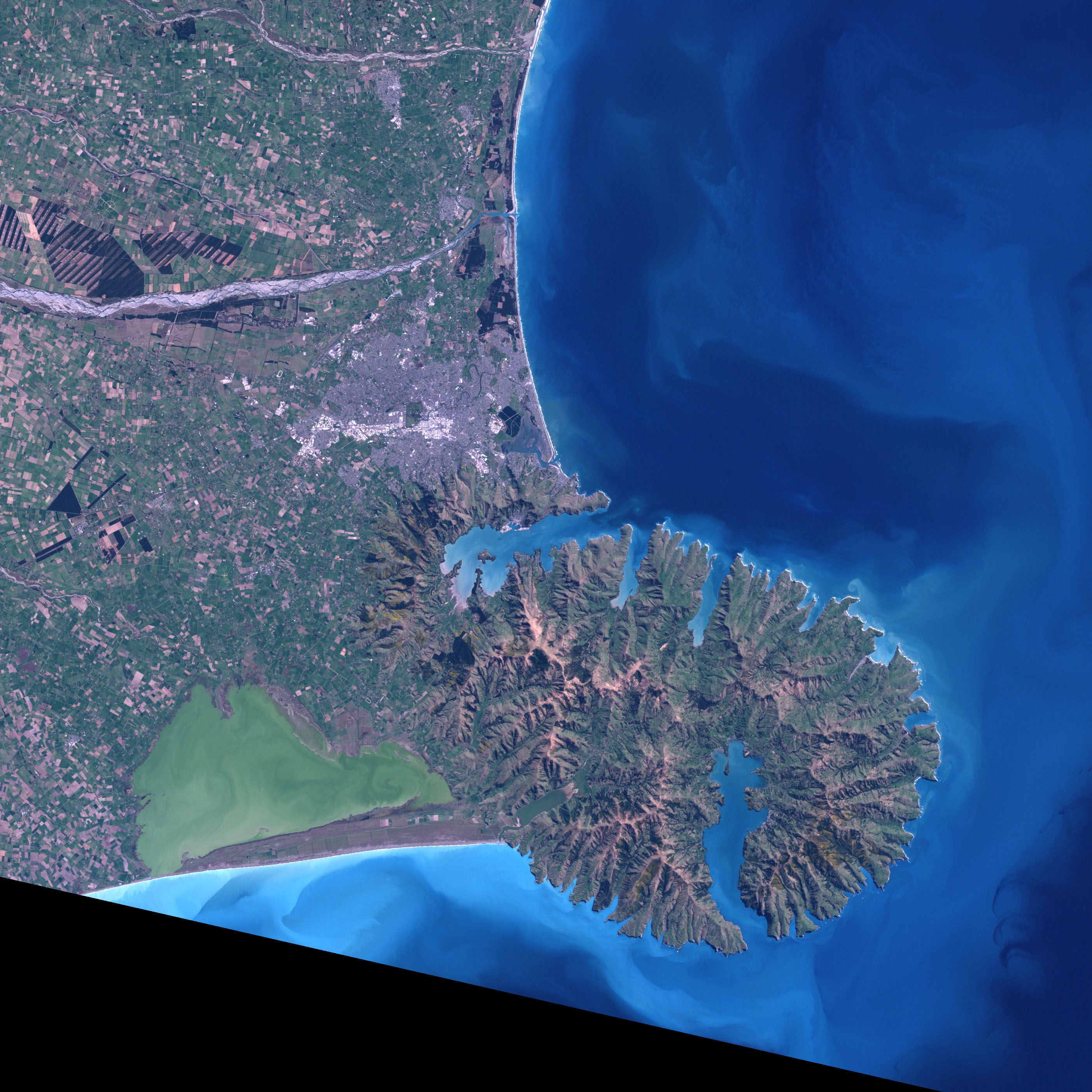
Landsat 7 observation of Christchurch, 2001
About this image
An authentic image from a named sensor and acquisition date, suitable for showing the spatial coverage and analytical potential of satellite imagery.
Read the illustrated passage in Satellite observations →
Download the original locally stored image
Attribution
Source and reuse
- Published on
- Wikimedia Commons
- Credit
- NASA Earth Observatory, Jesse Allen; Landsat 7 Science Team
- Image date
- 25 September 2001
- Original source filename
- File:Christchurch and Banks Peninsula from space, 2001, Landsat 7 ETM.jpg
- Original dimensions
- 2808 × 2808 pixels
- Original SHA-256
1499ceda9deb043d88c98c698deb49bb58d860aba1dad32109c5219b968032f0- Licence
- Public domain (NASA)
- Local copy
- The reader displays a local copy so the image remains available if the original page changes.