Image archive Image details
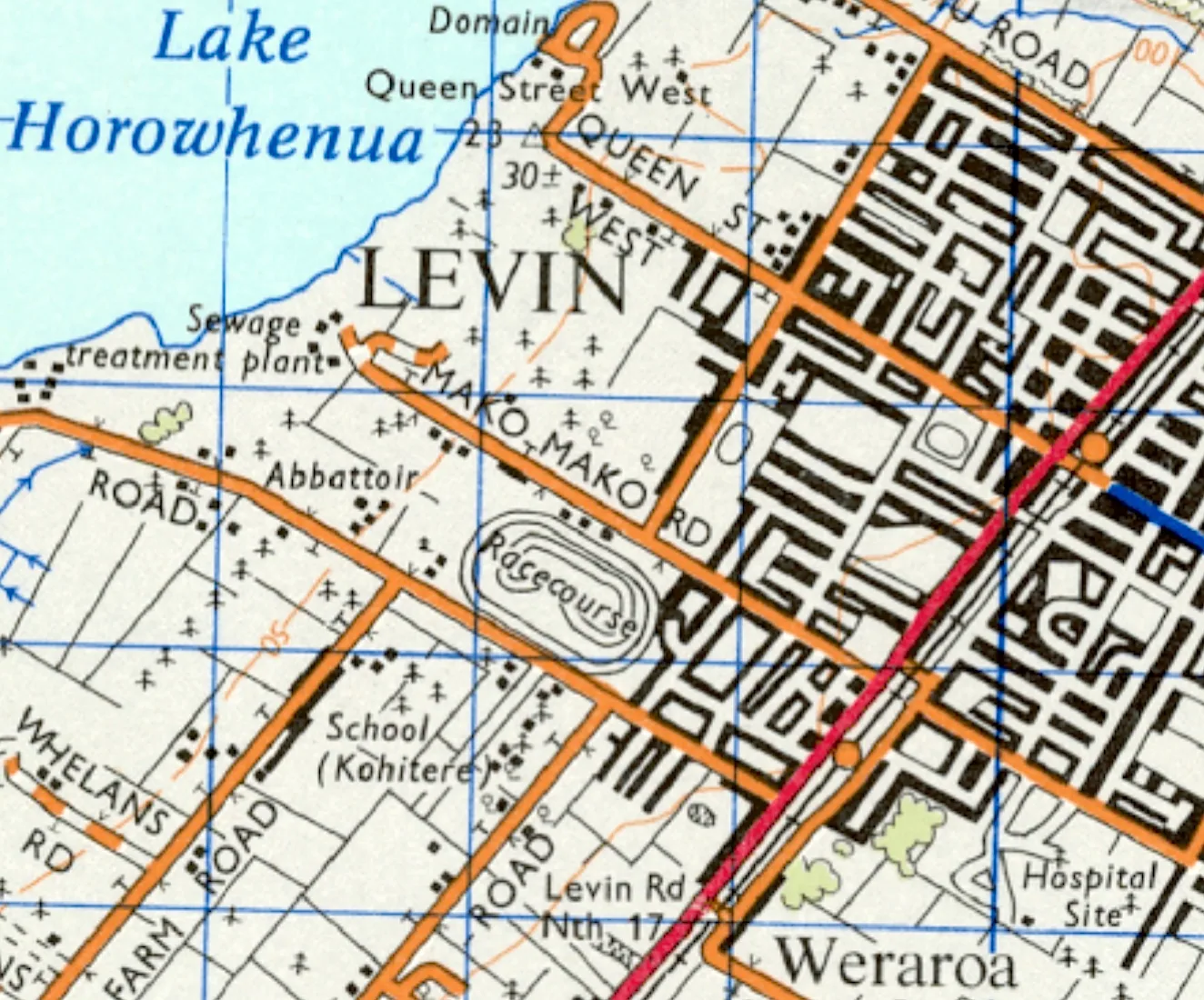
Levin topographic map sheet, 1973
About this image
This is a contemporary example of New Zealand paper topographic mapping. It is not an NZLRI worksheet and does not show the inventory land units described in this chapter.
Read the illustrated passage in Digital land inventories →
Download the original locally stored image
Attribution
Source and reuse
- Published on
- Wikimedia Commons
- Credit
- Land Information New Zealand (LINZ), via Mapspast and Wikimedia Commons.
- Image date
- 1973
- Original file source
- View the source-original image
- Original source filename
- File:1973 map of Levin.jpg
- Original dimensions
- 1324 × 1100 pixels
- Original SHA-256
31dbef2a8819fbe26b7b12d69b4c5ec7cf91fdbbc8eb3cbd3362123a7b1d50eb- Licence
- CC BY-SA 3.0
- Reuse conditions
- Publisher's licence statement
- Display preparation
- The locally stored source file is unchanged. Responsive display and card derivatives are resized without cropping and follow the source licence; share-alike terms apply where required.
- Local copy
- The reader displays a local copy so the image remains available if the original page changes.