Image archive Image details
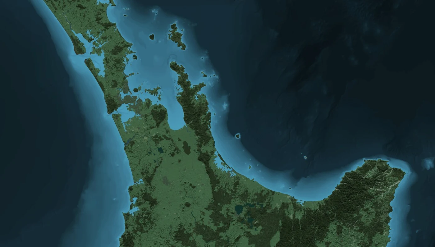
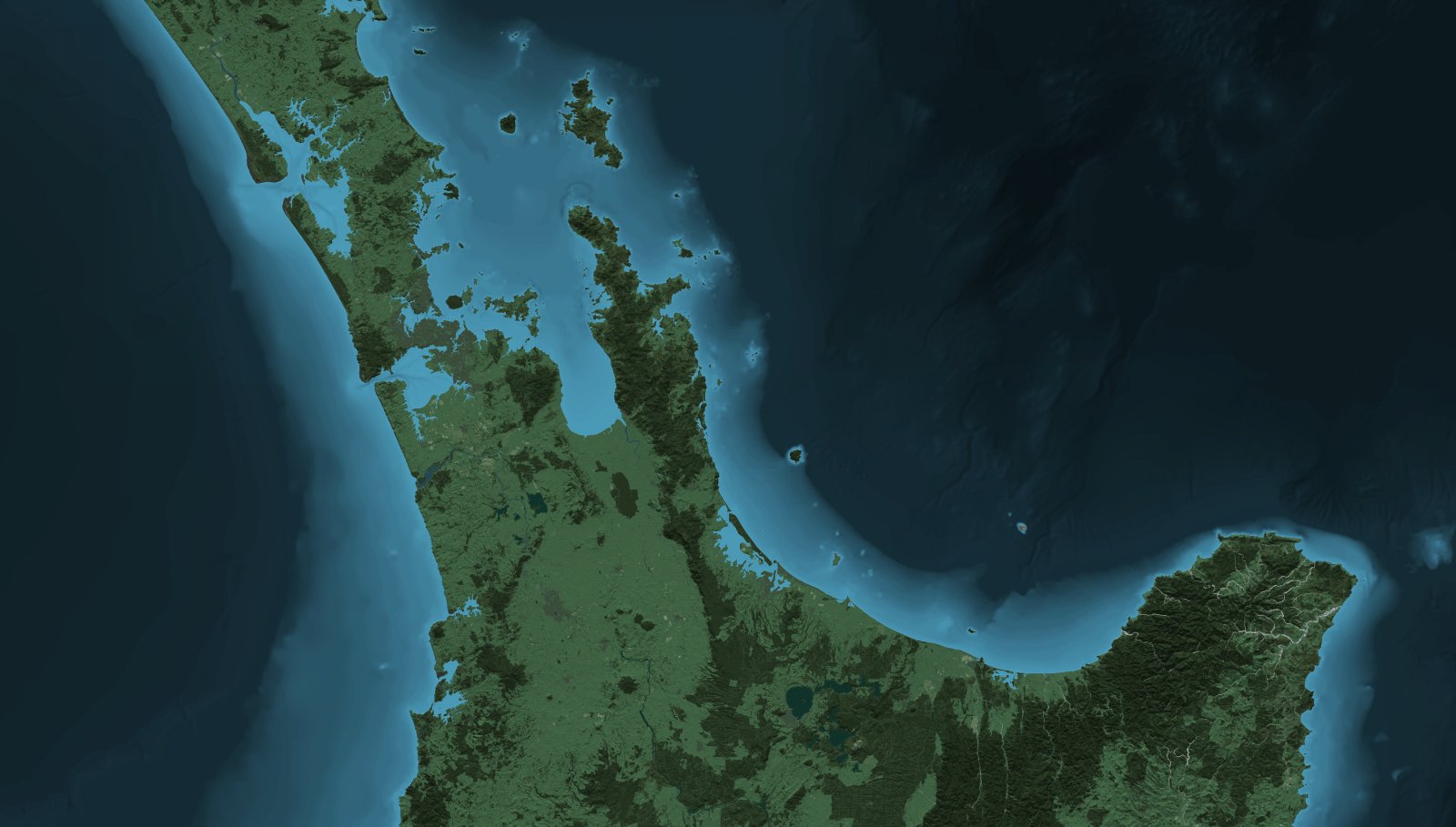
LINZ natural-colour North Island terrain and bathymetry artwork (2013 archive)
About this image
Exact original file and Git blob SHA preserved from the LINZ source repository, distributed under the 2013 project's CC BY 3.0 NZ statement.
Download the original locally stored image
Attribution
Source and reuse
- Published on
- LINZ, linz_basemaps public GitHub project (2013)
- Credit
- Crown copyright 2013, Land Information New Zealand and the New Zealand Government
- Image date
- 2013 (archived project)
- Original dimensions
- 1600 × 909 pixels
- Original SHA-256
3cce7a6ea805b51a3410f78a1239df973059d4dca6ac6377563f0fd201aa8e71- Local copy
- The reader displays a local copy so the image remains available if the original page changes.