Image archive Image details
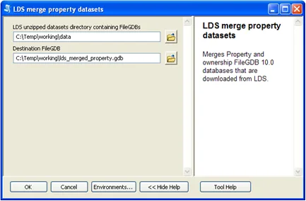
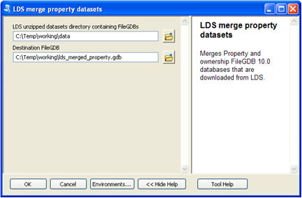
ArcCatalog interface for joining and merging GIS data
About this image
A documented computer-era GIS illustration from LINZ Esri file geodatabase relationships. If the chapter concerns an earlier historical period, this later example illustrates the technology rather than the original installation.
Read the illustrated passage in Enterprise GIS →
Download the original locally stored image
Attribution
Source and reuse
- Published on
- LINZ Esri file geodatabase relationships
- Credit
- LINZ Esri file geodatabase relationships (original image publisher)
- Image date
- Data example from 2016; screen date unknown
- Original file source
- View the source-original image
- Original source filename
- Merge-data-lds-arccatelog.png
- Original dimensions
- 433 × 284 pixels
- Original SHA-256
281b8f2a438391661b77a836294f6dd26640730c51d4ae03ff2fb651f92c521c- Reuse conditions
- Publisher's licence statement
- Display preparation
- Publisher original preserved unchanged locally; WebP reading and card versions resized without cropping. Captured software date and case-study context remain qualified.
- Local copy
- The reader displays a local copy so the image remains available if the original page changes.