Image archive Image details
ArcGIS Online Map Viewer showing New Zealand mapping layers
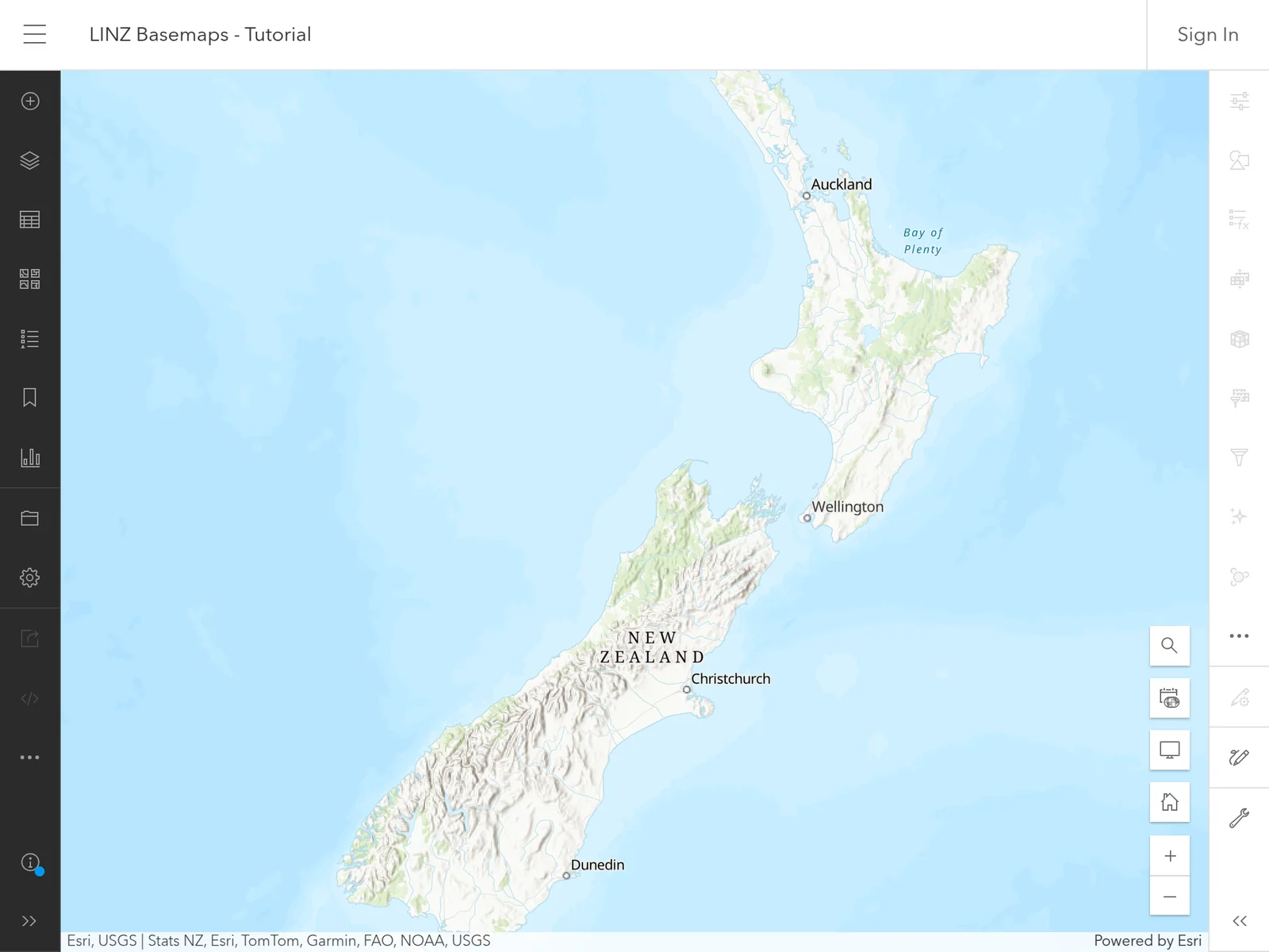
About this image
A documented computer-era GIS illustration from LINZ basemap ArcGIS Online. If the chapter concerns an earlier historical period, this later example illustrates the technology rather than the original installation.
Read the illustrated passage in Spatial services and the cloud →
Download the original locally stored image
Attribution
Source and reuse
- Published on
- LINZ basemap ArcGIS Online
- Credit
- LINZ basemap ArcGIS Online (original image publisher)
- Image date
- LINZ documentation available by 2025
- Original file source
- View the source-original image
- Original source filename
- step-1-agol-map-viewer.png
- Original dimensions
- 2048 × 1536 pixels
- Original SHA-256
d7b4aba686b6a4b6dbaab4bdb6a60795f63aa7e8f3db11392a94a2a67879edff- Reuse conditions
- Publisher's licence statement
- Display preparation
- Publisher original preserved unchanged locally; WebP reading and card versions resized without cropping. Captured software date and case-study context remain qualified.
- Local copy
- The reader displays a local copy so the image remains available if the original page changes.