Image archive Image details
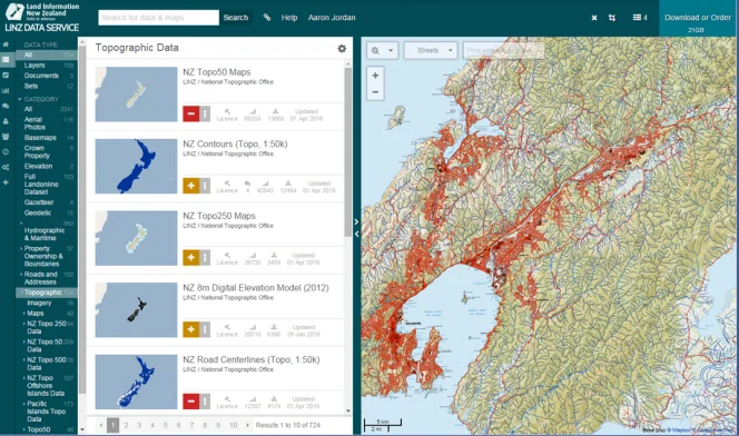
LINZ Data Service topographic layers in 2016
About this image
Dated official 2016 illustration of GIS data discovery and public reuse, a later access platform following the earlier Topo50 release discussed nearby.
Read the illustrated passage in Open spatial data →
Download the original locally stored image
Attribution
Source and reuse
- Published on
- National Library of New Zealand / LINZ
- Credit
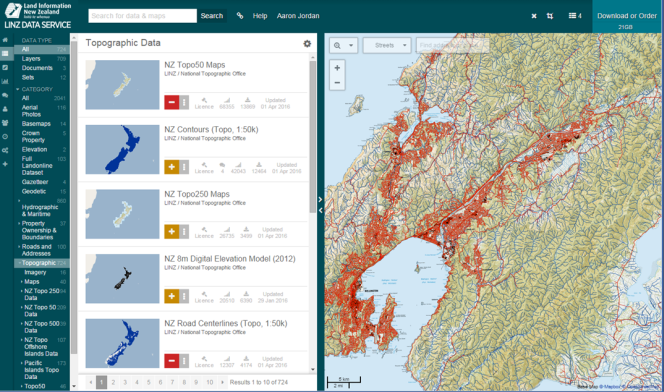
- LINZ Data Service screenshot, published in Aaron Jordan's 'The future of maps', National Library, 21 July 2016.
- Image date
- Published 21 July 2016
- Original file source
- View the source-original image
- Original source filename
- blog_futureofmaps_dataservice.png
- Original dimensions
- 664 × 392 pixels
- Original SHA-256
3e03c99221ebefa53ffa95d9f99abe551fae6f7257c0274b578cc56a3a77b913- Reuse conditions
- Publisher's licence statement
- Display preparation
- Publisher original preserved unchanged locally; WebP reading and card versions resized without cropping. Captured software date and case-study context remain qualified.
- Local copy
- The reader displays a local copy so the image remains available if the original page changes.