Image archive Image details
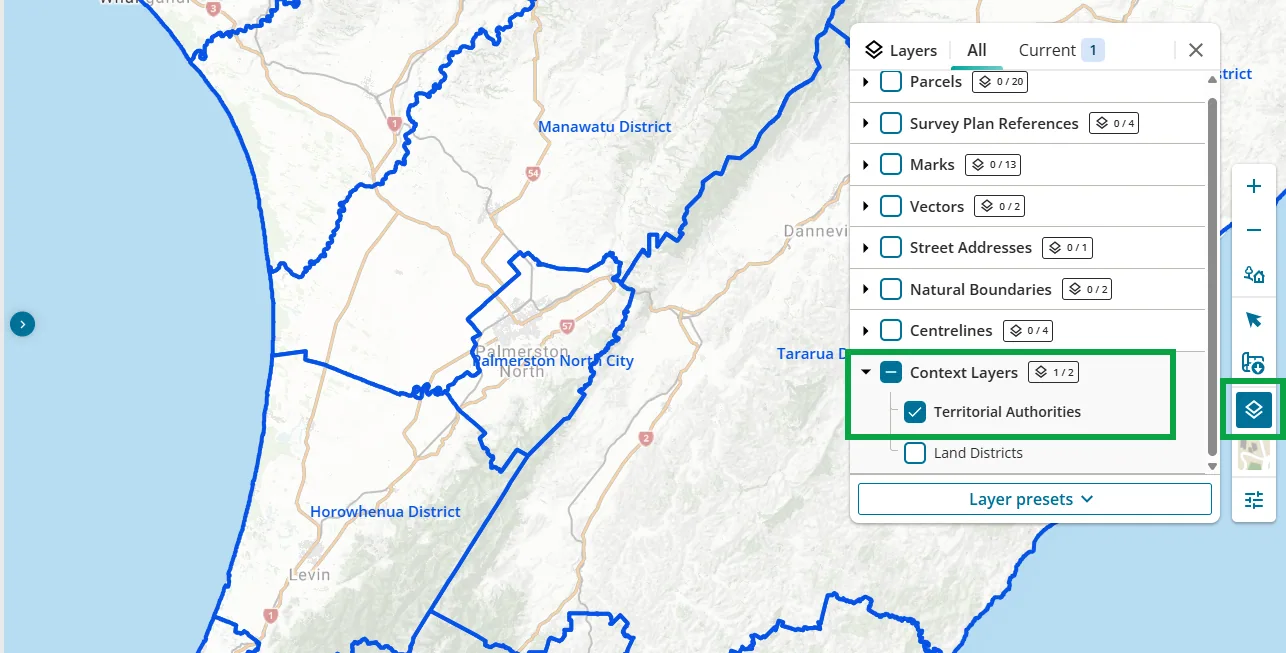
Territorial authority boundaries in Landonline Web Search, 2025
About this image
A real government spatial data display demonstrating integration of cadastral and territorial-authority boundaries. The screenshot belongs to a 2025 release and should not be used to represent earlier government GIS software.
Connected records
- Land Information New Zealand (LINZ) · Source organisation and publisher
Download the original locally stored image
Attribution
Source and reuse
- Published on
- Toitū Te Whenua Land Information New Zealand
- Credit
- Source: Toitū Te Whenua Land Information New Zealand, licensed for re-use under Creative Commons Attribution 4.0 International (CC BY 4.0). Web display copy resized and converted to WebP.
- Image date
- 2025 service update
- Original file source
- View the source-original image
- Original source filename
- TA layer.png
- Original dimensions
- 1286 × 653 pixels
- Original SHA-256
71cb27838e1524686aba80a1413863b693b5f70f1fe8c7b63a7dc8b420e60808- Licence
- CC BY 4.0
- Reuse conditions
- Publisher's licence statement
- Display preparation
- Local original stored unchanged; WebP display width up to 1600 pixels and thumbnail width up to 720 pixels, resized without cropping.
- Local copy
- The reader displays a local copy so the image remains available if the original page changes.