Image archive Image details
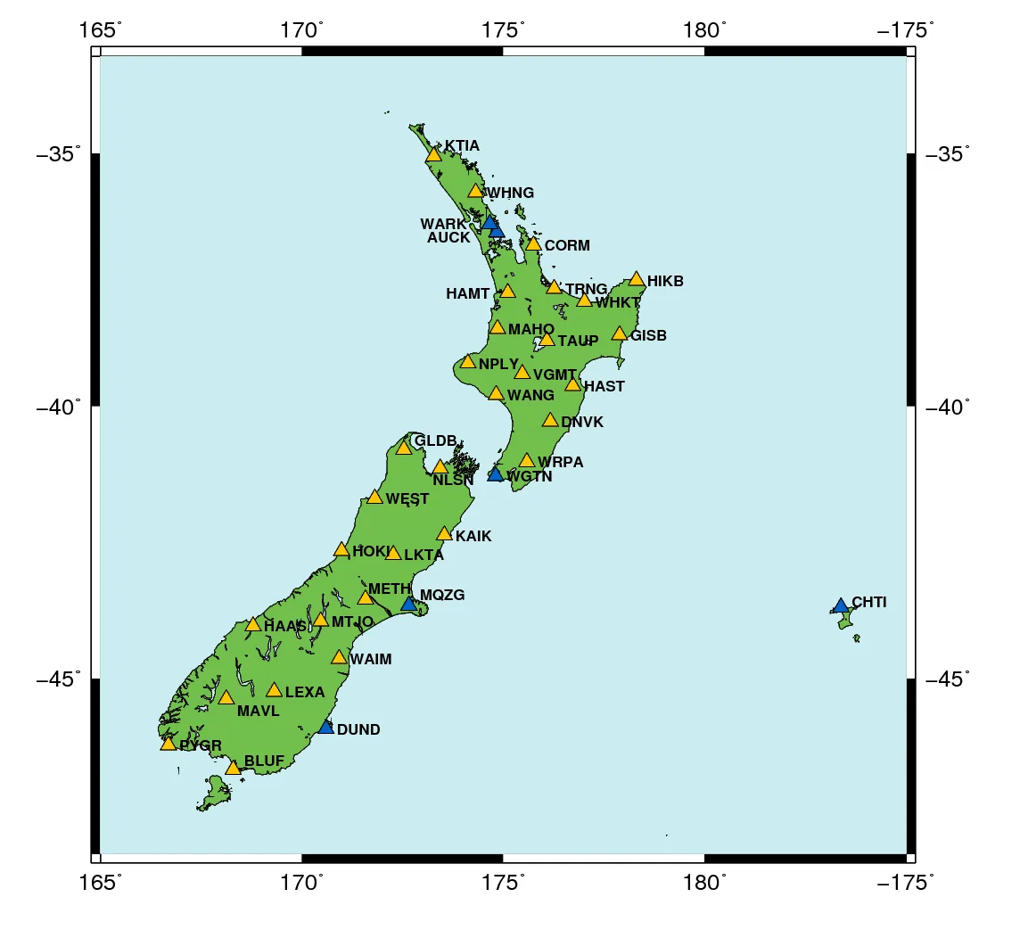
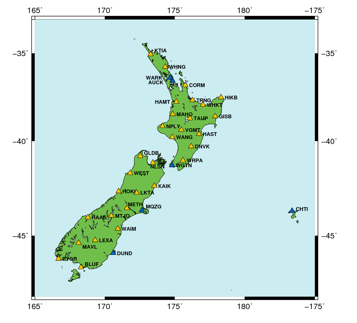
LINZ PositioNZ active GNSS reference network, 2018 illustration
About this image
An actual LINZ GNSS network product. It illustrates practical survey positioning services in New Zealand, not the first introduction of handheld GPS.
Connected records
- Land Information New Zealand (LINZ) · Source organisation and publisher
Download the original locally stored image
Attribution
Source and reuse
- Published on
- Toitū Te Whenua Land Information New Zealand
- Credit
- Source: Toitū Te Whenua Land Information New Zealand, licensed for re-use under Creative Commons Attribution 4.0 International (CC BY 4.0). Web display copy resized and converted to WebP.
- Image date
- 2018 illustration; current network changes over time
- Original file source
- View the source-original image
- Original source filename
- positionz_2018.png
- Original dimensions
- 1153 × 1043 pixels
- Original SHA-256
aed567a6168efa1a9c893611424ea935f6f97b24940e96d3d8e26a63ed48869f- Licence
- CC BY 4.0
- Reuse conditions
- Publisher's licence statement
- Display preparation
- Local original stored unchanged; WebP display width up to 1600 pixels and thumbnail width up to 720 pixels, resized without cropping.
- Local copy
- The reader displays a local copy so the image remains available if the original page changes.