Image archive Image details
LINZ Data Importer QGIS plugin demonstration, 2021
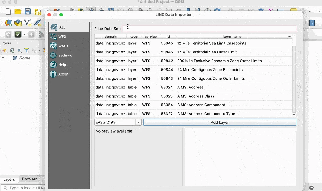
About this image
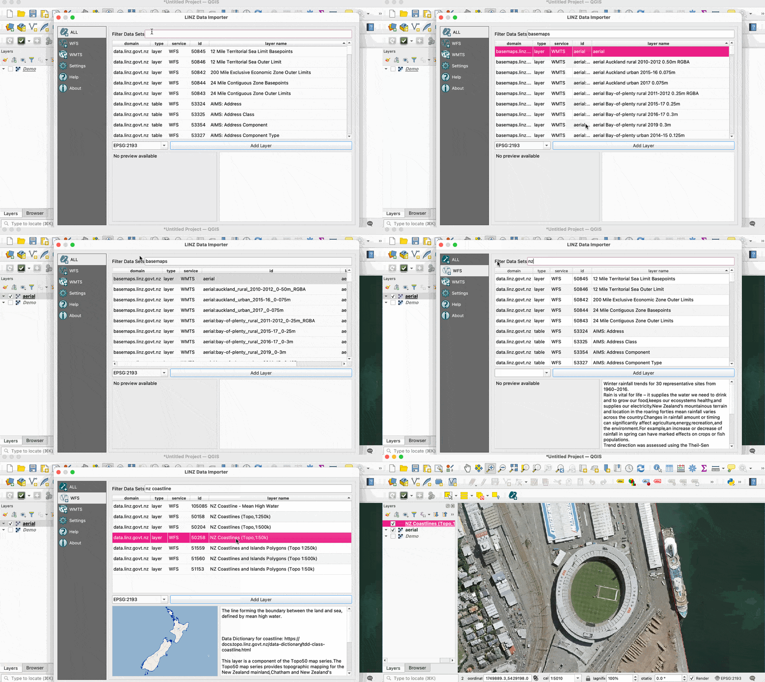
A real LINZ project demonstration of interoperable New Zealand spatial data connections in QGIS. The archived source documentation confirms the 2021 update, not the date when each frame was first captured.
Download the original locally stored image
Attribution
Source and reuse
- Credit
- Copyright 2018–2021 Toitū Te Whenua/Land Information New Zealand and the New Zealand Government. Published in original project documentation under BSD 3-Clause terms.
- Image date
- GitHub source updated for QGIS 3.16 on 21 June 2021; recording date not stated
- Original file source
- View the source-original image
- Original source filename
- images/import_example.gif
- Original dimensions
- 1092 × 650 pixels
- Original SHA-256
b050261caa1d8a1a0eb7bc299f4637e037223bc1454273698bb593b80e32b411- Licence
- BSD 3-Clause
- Reuse conditions
- Publisher's licence statement
- Full licence and disclaimer
- Read the retained original licence conditions
- Display preparation
- The animated original GIF is unchanged; a reduced uncropped first frame is used for WebP display and cards.
- Local copy
- The reader displays a local copy so the image remains available if the original page changes.