Image archive Image details
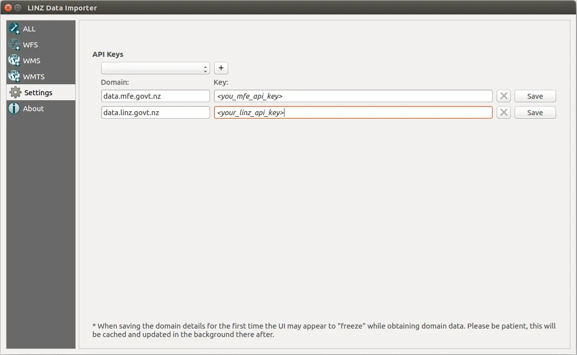
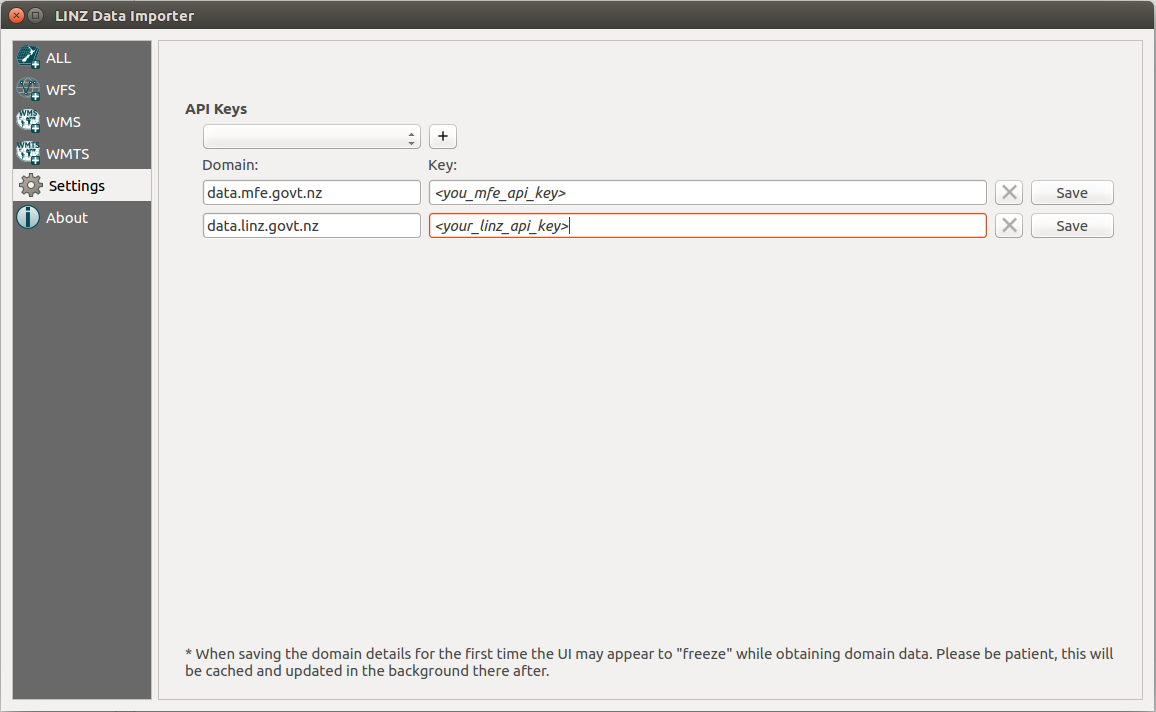
LINZ Data Importer QGIS plugin settings, 2018
About this image
A real QGIS Data Importer plugin interface showing how users configured New Zealand government spatial data connections. It does not depict the launch of LINZ Data Service or QGIS. The original capture date is not independently established.
Download the original locally stored image
Attribution
Source and reuse
- Credit
- Copyright 2018–2021 Toitū Te Whenua/Land Information New Zealand and the New Zealand Government. Published in original project documentation under BSD 3-Clause terms.
- Image date
- Published in LINZ source repository by 13 November 2018; image capture date not established
- Original file source
- View the source-original image
- Original source filename
- images/settings_example.png
- Original dimensions
- 1156 × 712 pixels
- Original SHA-256
efcb415dec3e5524d3455f4d7211445a74437cf98e37eebf1d50f607f5daab7b- Licence
- BSD 3-Clause
- Reuse conditions
- Publisher's licence statement
- Full licence and disclaimer
- Read the retained original licence conditions
- Display preparation
- The unchanged original PNG is preserved; uncropped WebP derivatives are reduced without upscaling.
- Local copy
- The reader displays a local copy so the image remains available if the original page changes.