Image archive Image details
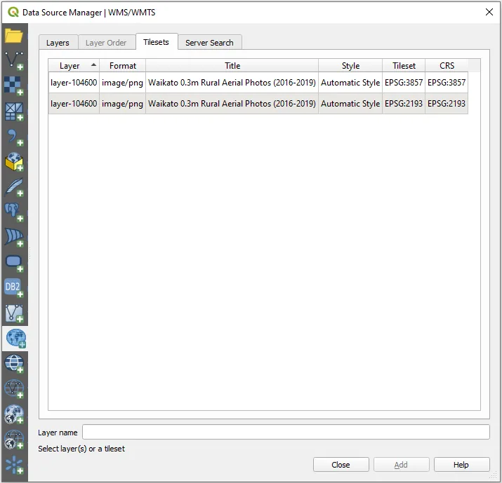
LINZ Data Service WMTS connection configured in QGIS
About this image
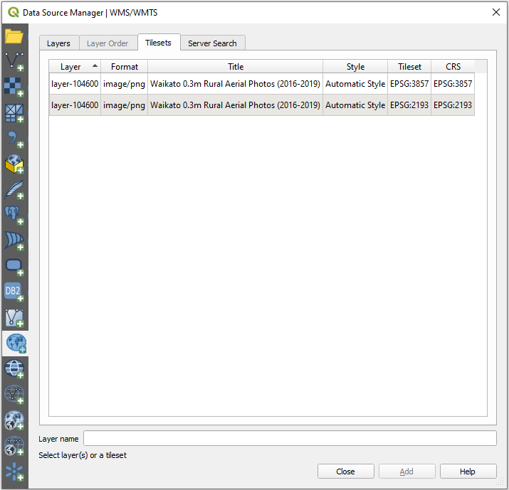
Original software screenshot from LINZ's instructions for consuming nationally available tile services in GIS. The image illustrates standards and interoperable infrastructure, not a historical screen from 1990s SDI planning.
Connected records
- Land Information New Zealand (LINZ) · Source organisation and publisher
Download the original locally stored image
Attribution
Source and reuse
- Published on
- Toitū Te Whenua Land Information New Zealand
- Credit
- Source: Toitū Te Whenua Land Information New Zealand, licensed for re-use under Creative Commons Attribution 4.0 International (CC BY 4.0). Web display copy resized and converted to WebP.
- Image date
- Date of original screenshot not independently established; LINZ guide current by 2026
- Original file source
- View the source-original image
- Original source filename
- lds_wmts-qgis_screenshot-5.png
- Original dimensions
- 715 × 689 pixels
- Original SHA-256
c94e4aba4bd984852e70781ffe7b978d096c2fbb356db047336a2997856ee668- Licence
- CC BY 4.0
- Reuse conditions
- Publisher's licence statement
- Display preparation
- Local original stored unchanged; WebP display width up to 1600 pixels and thumbnail width up to 720 pixels, resized without cropping.
- Local copy
- The reader displays a local copy so the image remains available if the original page changes.