Image archive Image details
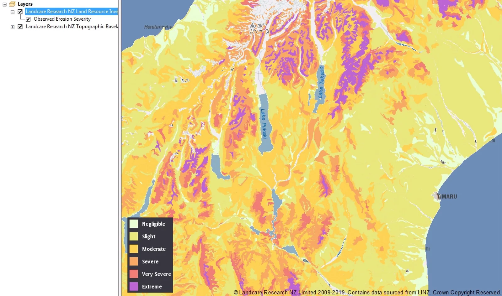
ArcGIS screen with environmental Web Map Service legend and geospatial layers
About this image
A documented computer-era GIS illustration from Manaaki Whenua WMS in QGIS, ArcGIS and uDig. If the chapter concerns an earlier historical period, this later example illustrates the technology rather than the original installation.
Read the illustrated passage in Spatial data infrastructure →
Download the original locally stored image
Attribution
Source and reuse
- Published on
- Manaaki Whenua WMS in QGIS, ArcGIS and uDig
- Credit
- Manaaki Whenua WMS in QGIS, ArcGIS and uDig (original image publisher)
- Image date
- Published before 2025; exact screen date unknown
- Original file source
- View the source-original image
- Original source filename
- 3985fd8ab6efc39af63430e3f12e6826.jpg
- Original dimensions
- 2399 × 1417 pixels
- Original SHA-256
7e262288d597467791720eceab6cf08d82381c45c18957ccf10ac8d57937f474- Reuse conditions
- Publisher's licence statement
- Display preparation
- Publisher original preserved unchanged locally; WebP reading and card versions resized without cropping. Captured software date and case-study context remain qualified.
- Local copy
- The reader displays a local copy so the image remains available if the original page changes.