Image archive Image details
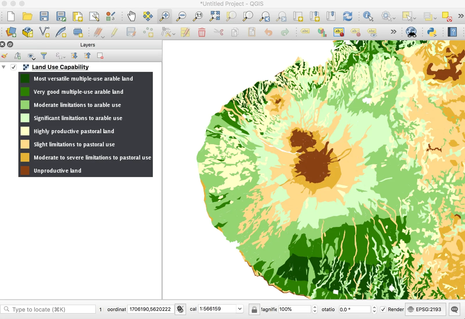
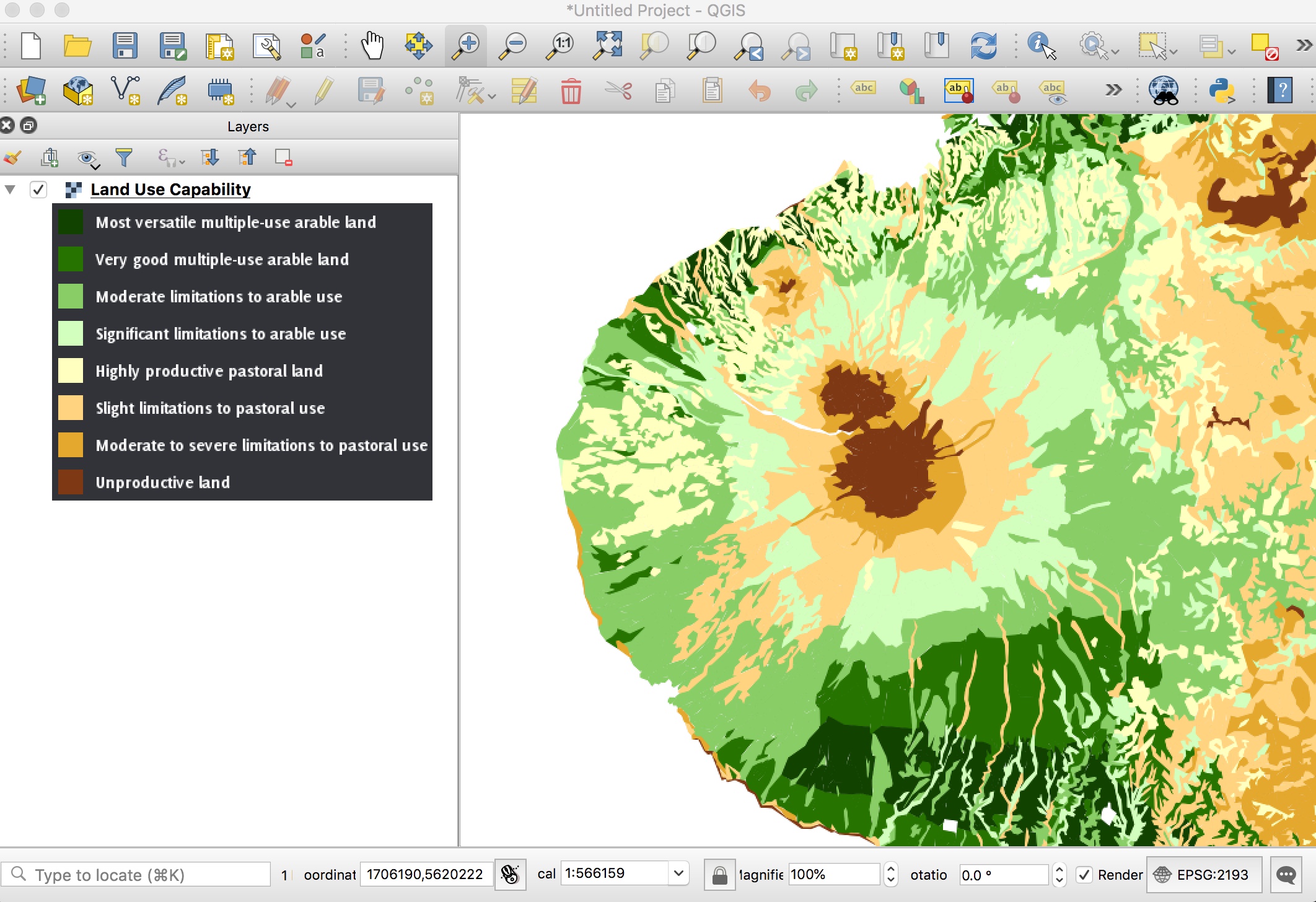
QGIS displaying Manaaki Whenua WMS layers and legends
About this image
Publisher-documented QGIS desktop interface, illustrating a 2019-era workflow rather than the earlier initial spread of open-source GIS.
Read the illustrated passage in Open source GIS →
Download the original locally stored image
Attribution
Source and reuse
- Published on
- Manaaki Whenua Landcare Research
- Credit
- Manaaki Whenua Landcare Research; basemap layers include LINZ copyright where shown.
- Image date
- QGIS 3.4.3 tutorial; approximately 2019, exact capture date unstated
- Original file source
- View the source-original image
- Original source filename
- ece9506a806f717bb6d13125fd2da012.jpg
- Original dimensions
- 2124 × 1456 pixels
- Original SHA-256
44068ff3cf6b713f460e0ba39be1126001af2ade20335f7c2927256683a22a69- Reuse conditions
- Publisher's licence statement
- Display preparation
- Publisher original preserved unchanged locally; WebP reading and card versions resized without cropping. Captured software date and case-study context remain qualified.
- Local copy
- The reader displays a local copy so the image remains available if the original page changes.