Image archive Image details
Landsat 4 observation of Tasman Glacier in 1990
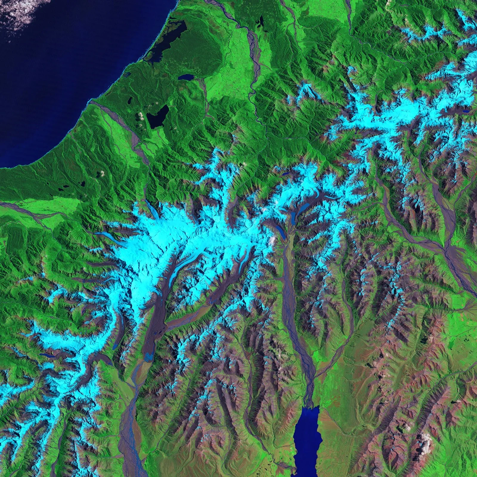
About this image
Primary dated Earth observation and satellite data product. The actual source image is preserved locally for this historical comparison.
Read the illustrated passage in Satellite observations →
Download the original locally stored image
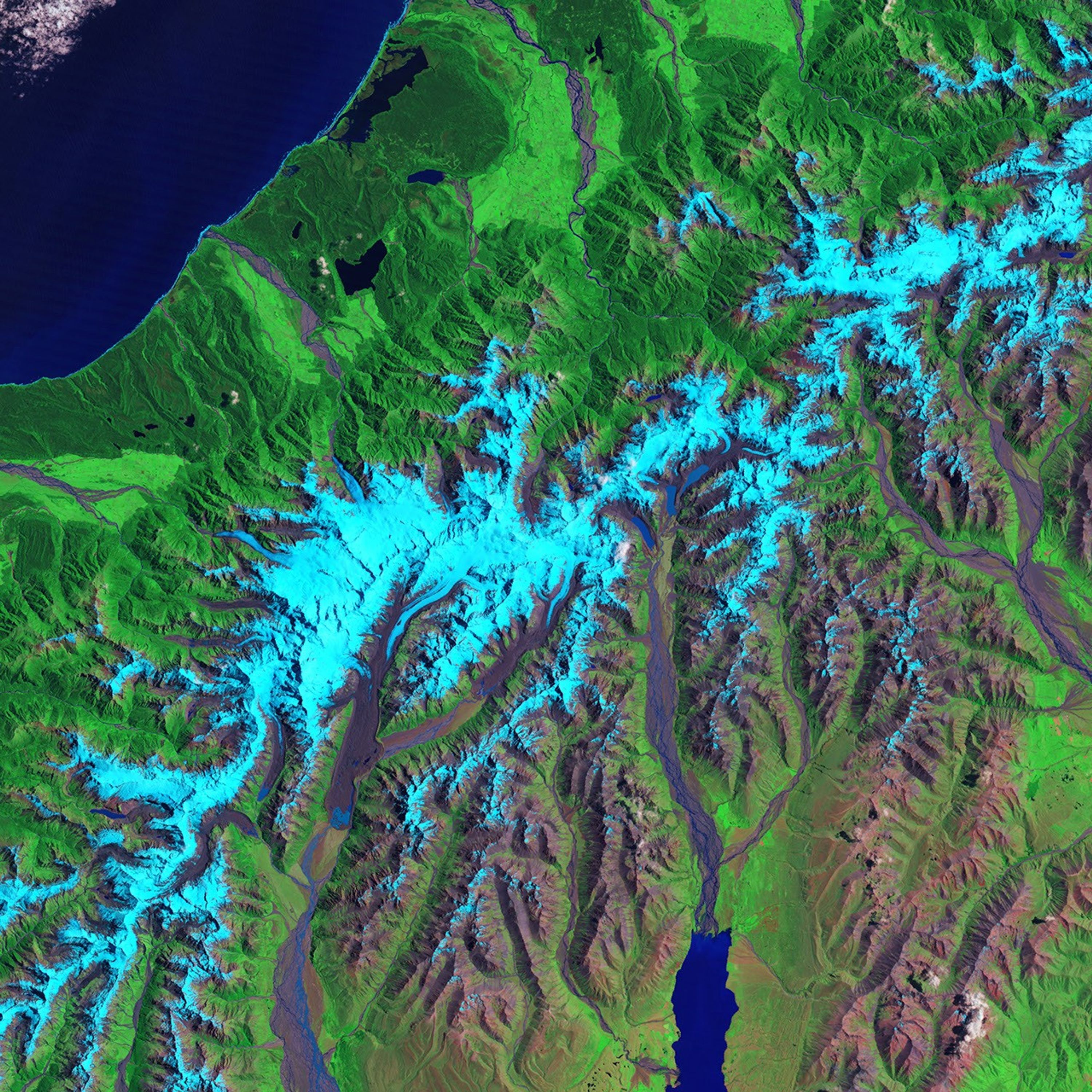
Attribution
Source and reuse
- Published on
- NASA Earth Observatory
- Credit
- NASA Earth Observatory / Jesse Allen; Landsat 4 data, University of Maryland Global Land Cover Facility
- Image date
- 1990-12-30
- Original file source
- View the source-original image
- Original source filename
- Landsat 4 observation of Tasman Glacier in 1990
- Original dimensions
- 3000 × 3000 pixels
- Original SHA-256
d0fcf5756f756e3dbbb50c5f5ce6964857c5cb3d980f6eca4e66b7bb61f1b96f- Reuse conditions
- Publisher's licence statement
- Display preparation
- Original NASA/USGS download bytes retained; uncropped web and card WebP copies generated.
- Local copy
- The reader displays a local copy so the image remains available if the original page changes.