Image archive Image details
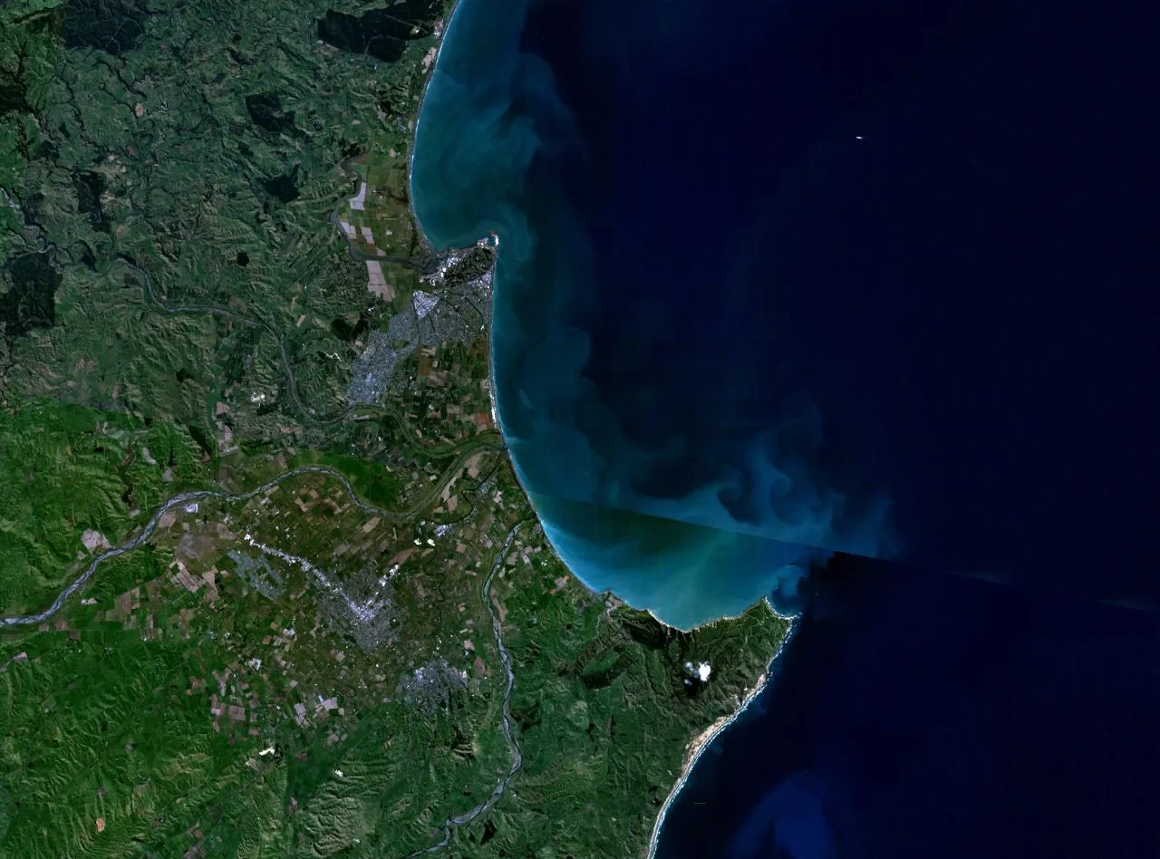
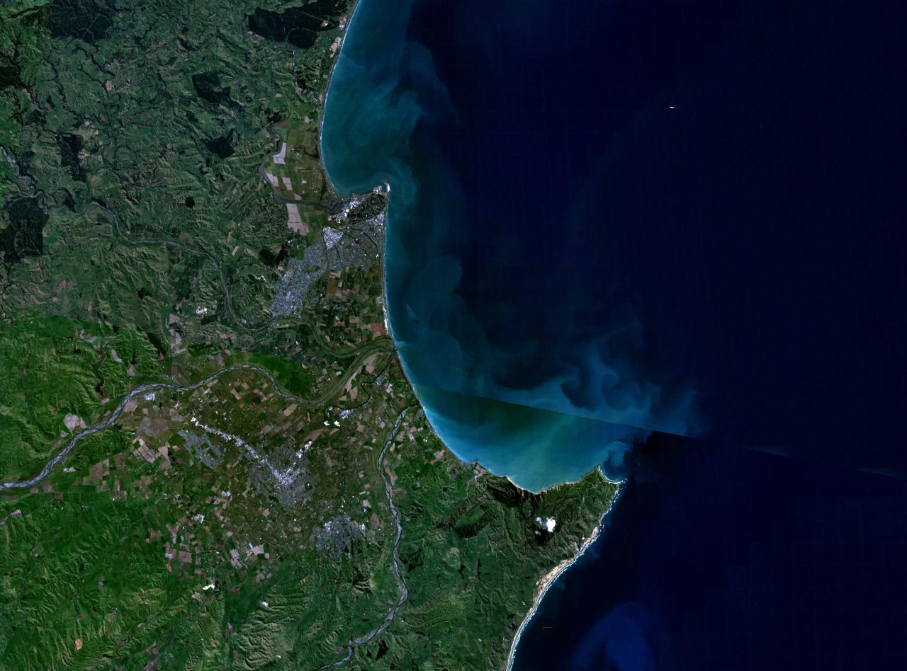
NASA World Wind view of Napier and Hastings, New Zealand, 2006
About this image
Period-specific view from NASA's World Wind software, a different mapping application. No evidence establishes this as part of the localised Google Maps product described in the associated 2007 timeline event.
Download the original locally stored image
Attribution
Source and reuse
- Published on
- Wikimedia Commons / NASA World Wind
- Credit
- NASA World Wind public-domain imagery, composite uploaded by Wikimedia contributor 2000 in March 2006; source-layer creation date unspecified.
- Image date
- 18 March 2006 upload; underlying layer acquisition date not verified
- Original file source
- View the source-original image
- Original source filename
- File:Napier06.jpg
- Original dimensions
- 1280 × 948 pixels
- Original SHA-256
d07423719dba498ca99523a82531ff5045293abe74b6a8a51c87f708d551c8f8- Licence
- Public domain
- Reuse conditions
- Publisher's licence statement
- Display preparation
- Local original stored unchanged; WebP display width up to 1600 pixels and thumbnail width up to 720 pixels, resized without cropping.
- Local copy
- The reader displays a local copy so the image remains available if the original page changes.