Image archive Image details
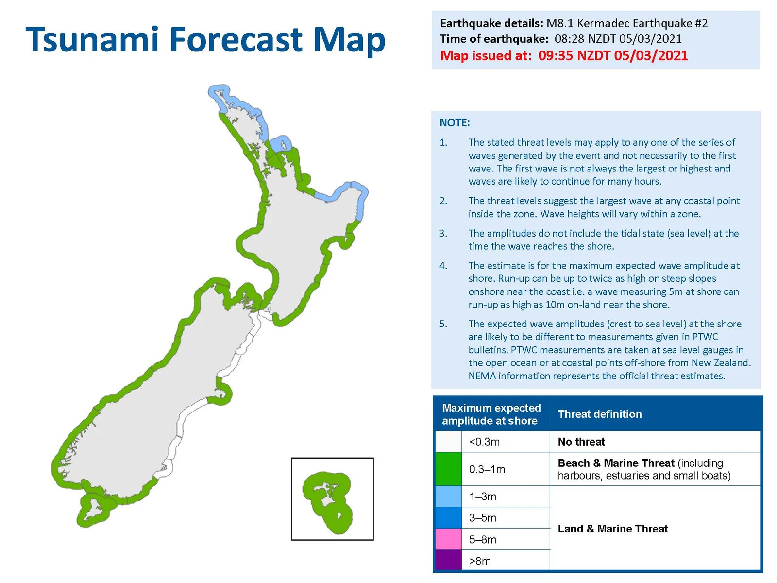
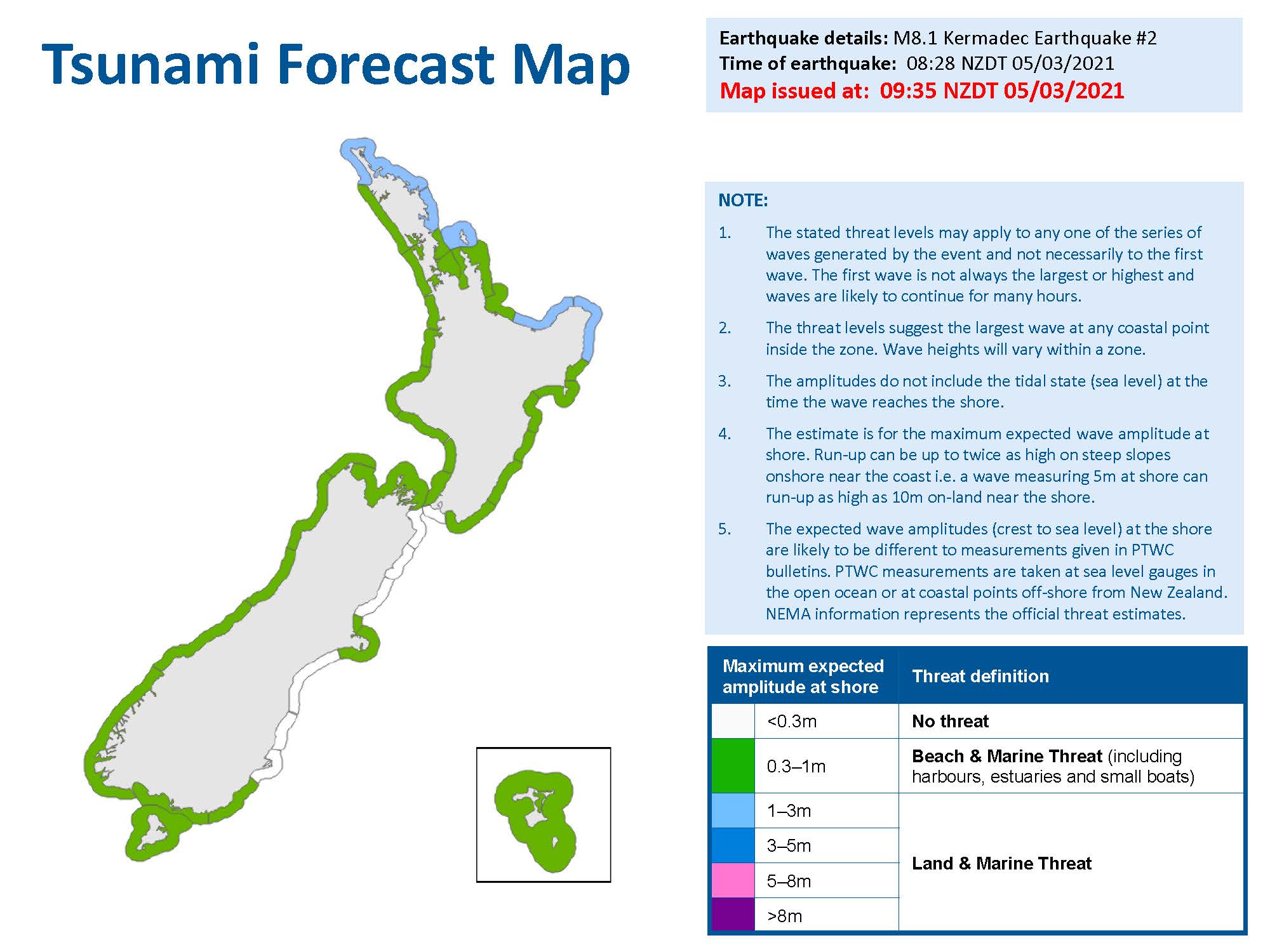
NEMA tsunami forecast following the March 2021 Kermadec earthquakes
About this image
An identifiable emergency-management map product that demonstrates geographic information used for public safety communication. It relates to disaster warnings, rather than police operational mapping.
Download the original locally stored image
Attribution
Source and reuse
- Published on
- Wikimedia Commons
- Credit
- National Emergency Management Agency (New Zealand)
- Image date
- 5 March 2021
- Original source filename
- File:Tsunami forecast map New Zealand 5 March 2021.jpg
- Original dimensions
- 2000 × 1500 pixels
- Original SHA-256
1458dfbdc85b32754dc155c3163604334b7e872aa5e937f0d82fc4e9ce12a18d- Licence
- CC BY 4.0
- Local copy
- The reader displays a local copy so the image remains available if the original page changes.