Image archive Image details
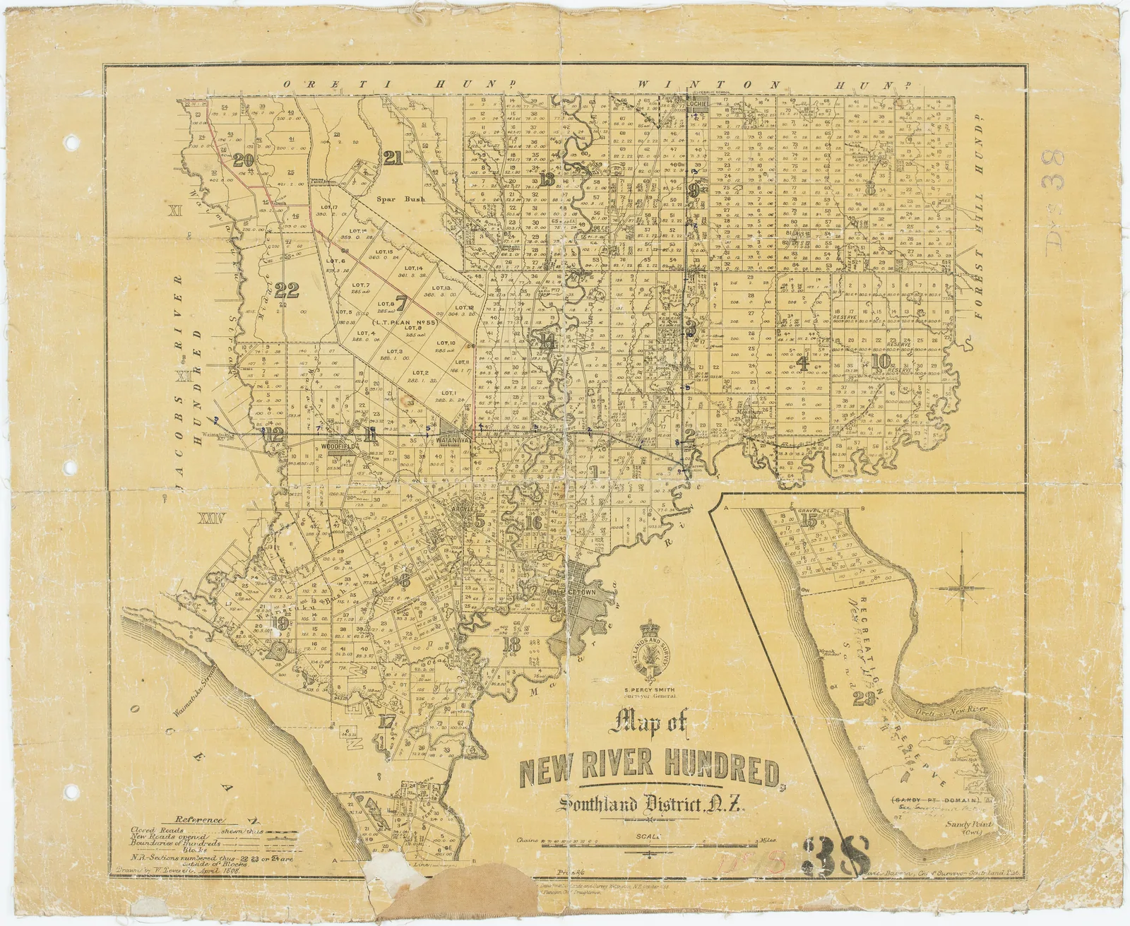
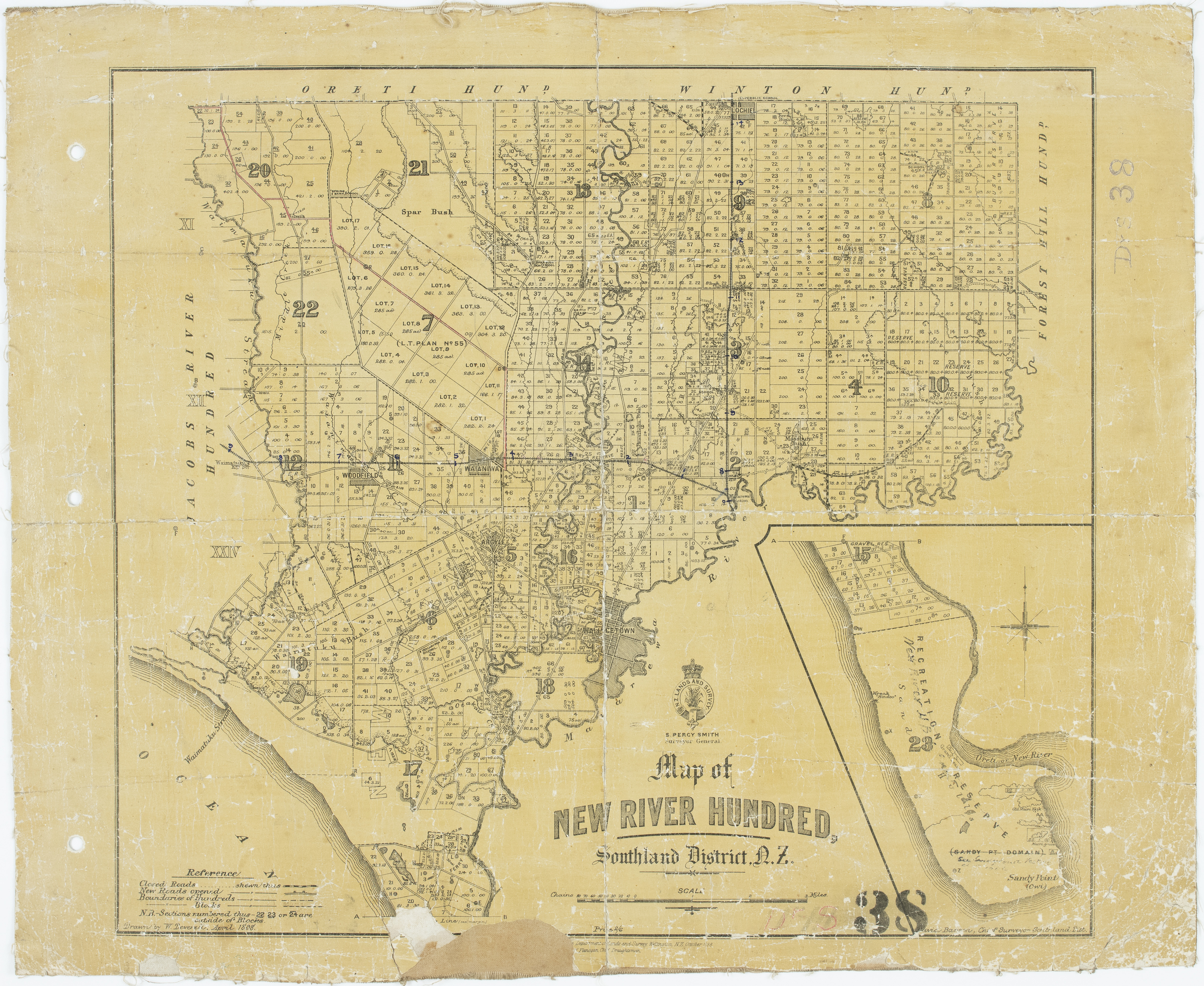
New River Hundred cadastral survey map, 1898
About this image
A surviving example of printed cadastral cartography documenting land parcels long before nationwide digital cadastral databases.
Download the original locally stored image
Attribution
Source and reuse
- Published on
- Wikimedia Commons
- Credit
- W. Deverell; Department of Lands and Survey; Archives New Zealand DABB D101 423/IN 38 (R6617598)
- Image date
- 1898
- Original source filename
- File:Map of New River Hundred.jpg
- Original dimensions
- 4770 × 3907 pixels
- Original SHA-256
c196a8e483896f544838bccdb0d43580bc733ad3a687accb92dcb6a9a90142a5- Licence
- CC BY 2.0
- Local copy
- The reader displays a local copy so the image remains available if the original page changes.