Image archive Image details
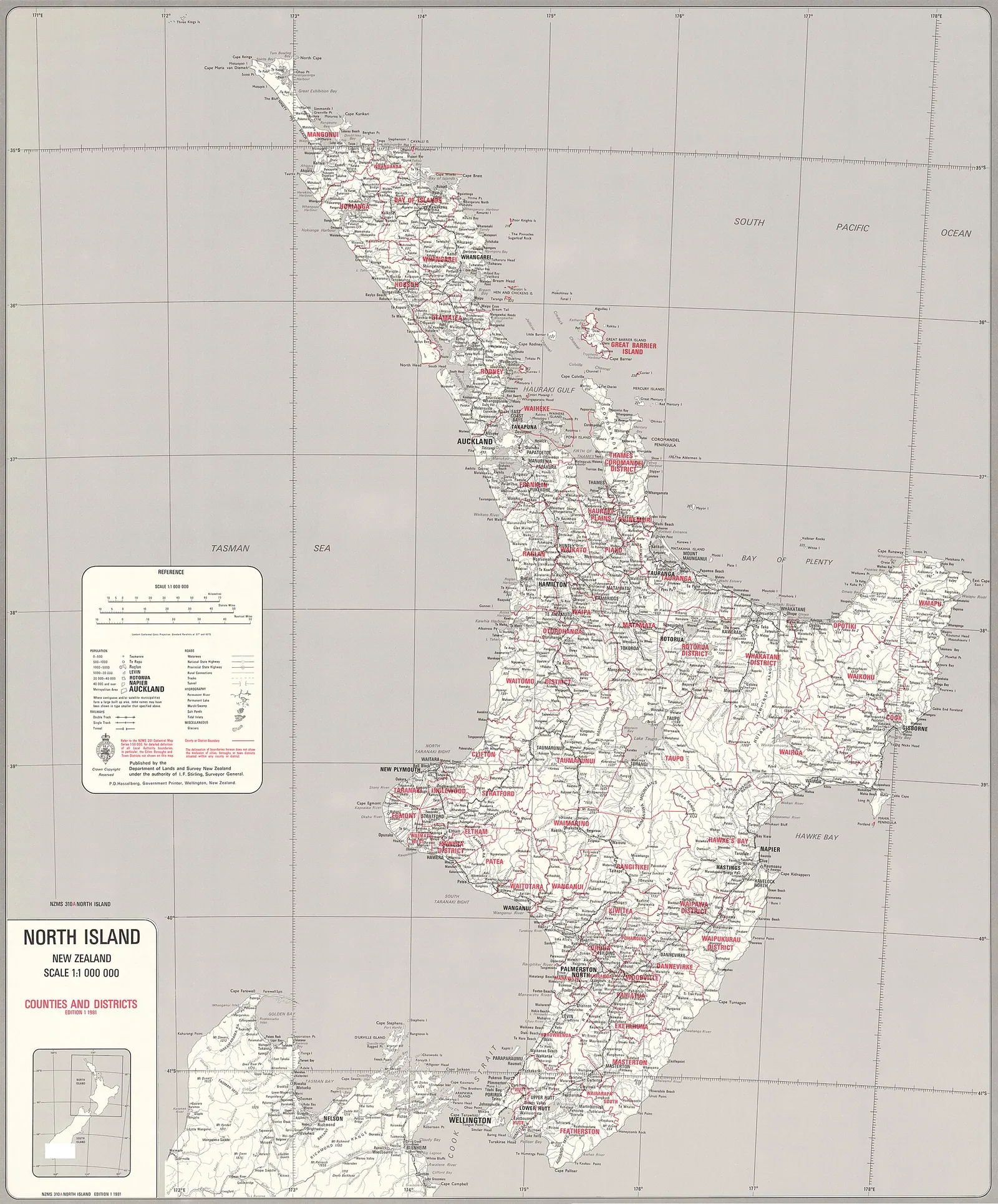
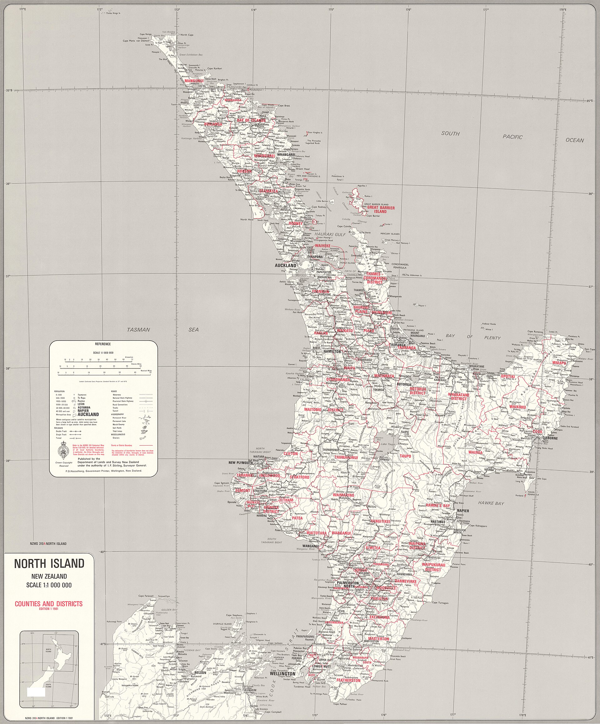
North Island counties and districts map, 1981
About this image
This administrative map predates the 1989 local-government reforms. It helps orient the reader to the county and district system before the reform; it is an historical map, not a GIS interface or a representation of the new authorities.
Read the illustrated passage in Council GIS →
Connected records
- Department of Lands and Survey · published the map
Download the original locally stored image
Attribution
Source and reuse
- Published on
- Wikimedia Commons
- Credit
- Department of Lands and Survey New Zealand; National Library of New Zealand, sourced from LINZ; via Wikimedia Commons.
- Image date
- 1981
- Original file source
- View the source-original image
- Original source filename
- File:New Zealand North Island Counties and Districts Map 1981.jpg; locally stored 1920 × 2317 rendition
- Original dimensions
- 1920 × 2317 pixels
- Original SHA-256
ef609eab2fa08dbcdcebe0697c09ceba97615500252c4da0accf646fa0316805- Licence
- CC BY-SA 4.0
- Reuse conditions
- Publisher's licence statement
- Display preparation
- The locally stored JPEG is a 1920 × 2317 Wikimedia Commons rendition. The 8192 × 9884 full-resolution master is 93.66 MB and remains linked above because it exceeds the site’s 25 MiB per-file asset limit. The rendition is stored unchanged; WebP display and card variants were resized without cropping.
- Local copy
- The reader displays a local copy so the image remains available if the original page changes.