Image archive Image details
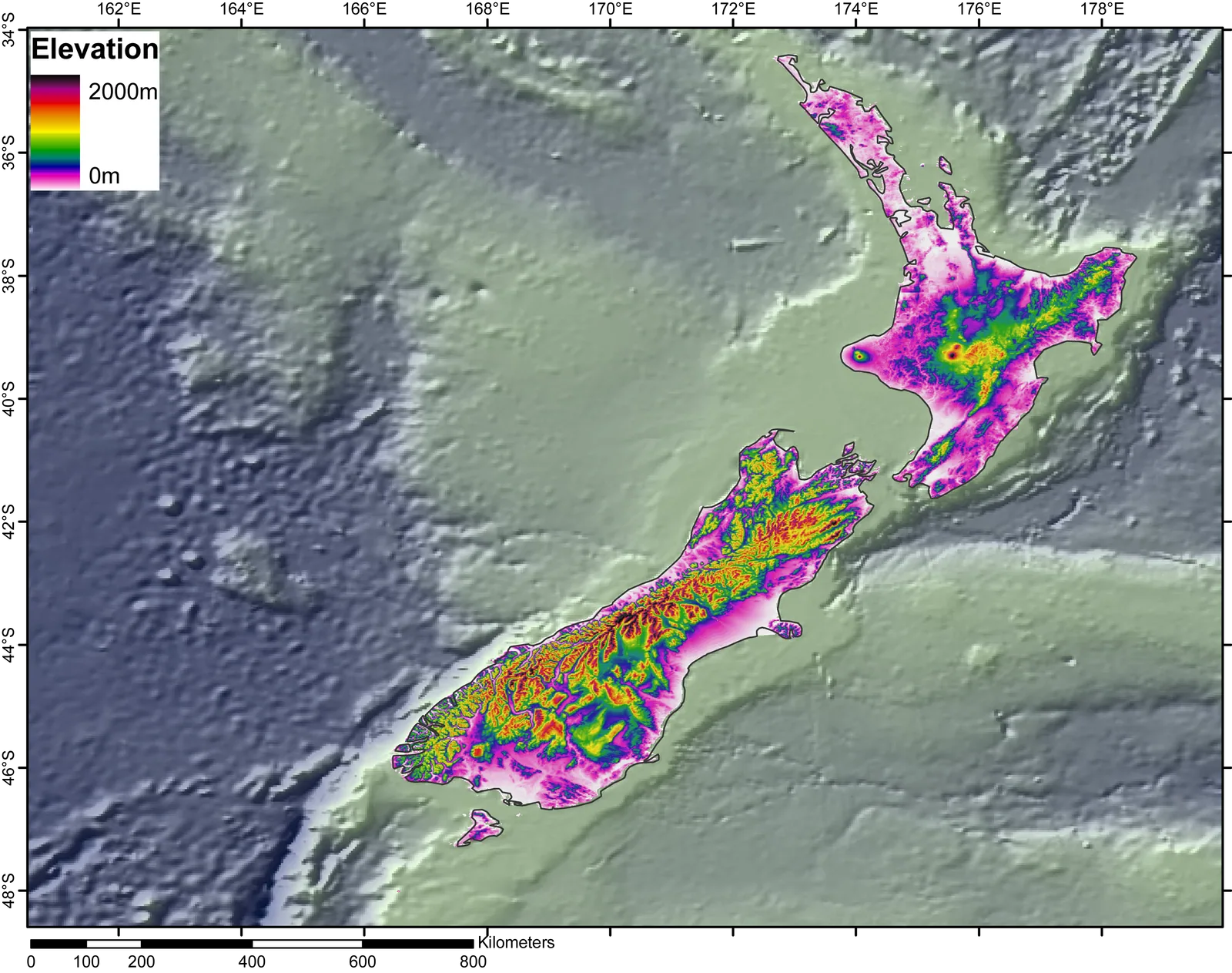
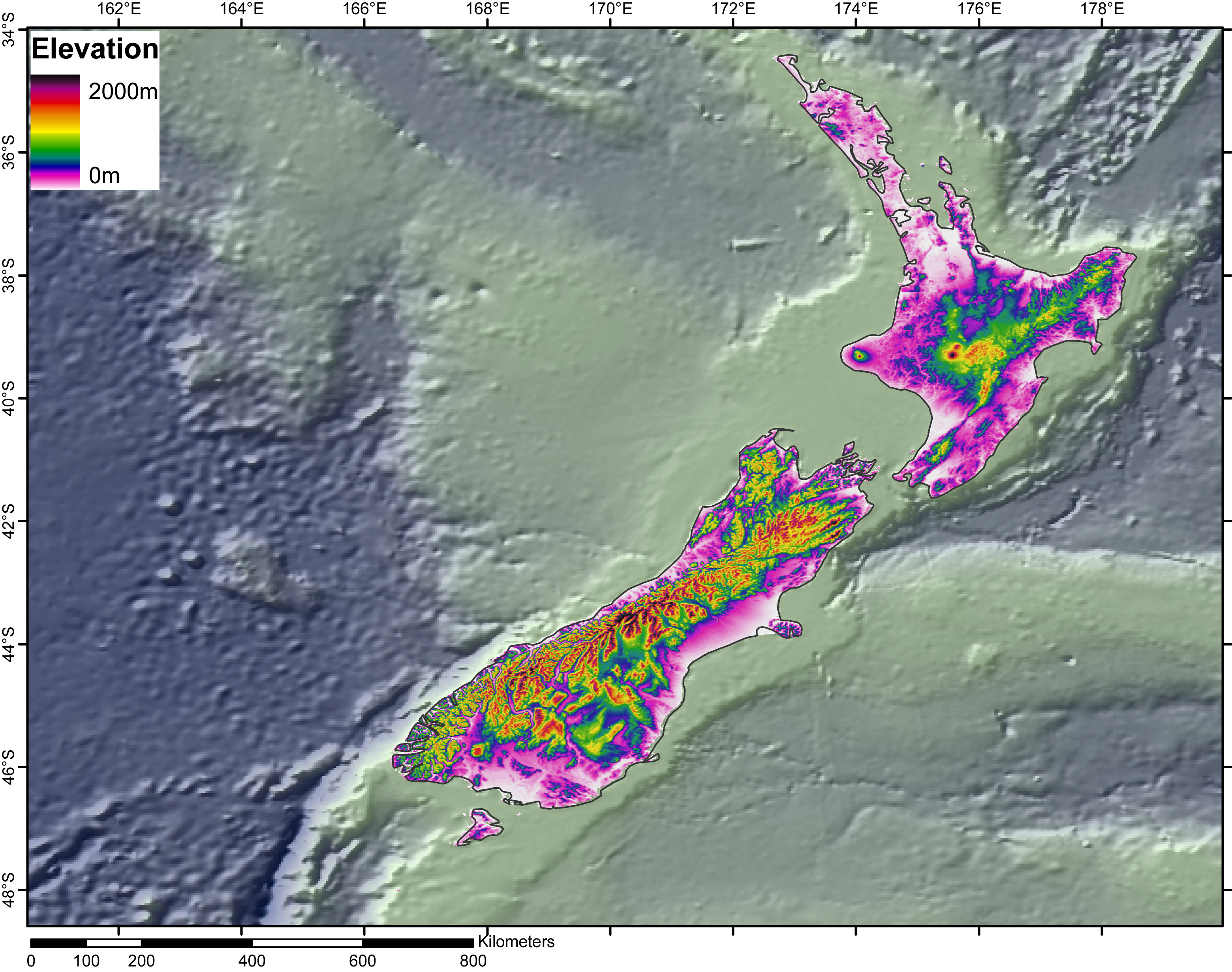
Digital elevation model of New Zealand produced with ArcGIS 9.1
About this image
This is an authentic period desktop-GIS elevation model, not LiDAR; use as an example of DEM processing and 3D terrain visualisation.
Download the original locally stored image
Attribution
Source and reuse
- Published on
- Wikimedia Commons
- Credit
- Wikimedia contributor Jide; based on GLOBE topography and ETOPO2 bathymetry
- Image date
- 3 November 2006
- Original source filename
- File:DEM NewZealand.png
- Original dimensions
- 3120 × 2462 pixels
- Original SHA-256
5d6b824922440fe3e328bbde7ebeb2bbbbaffaac027f62412c80cd4fadb10eec- Licence
- CC BY-SA 2.5
- Local copy
- The reader displays a local copy so the image remains available if the original page changes.