Image archive Image details
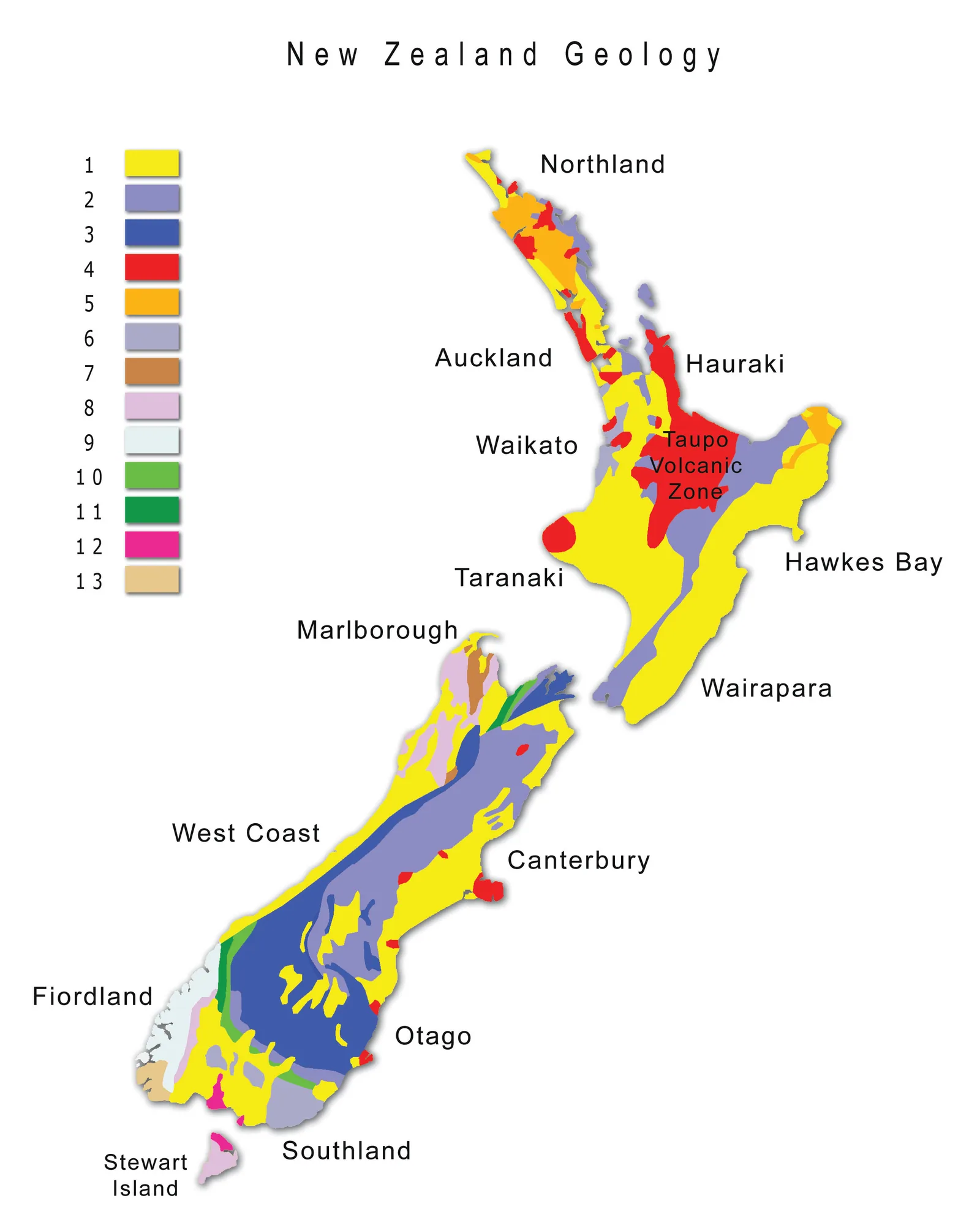
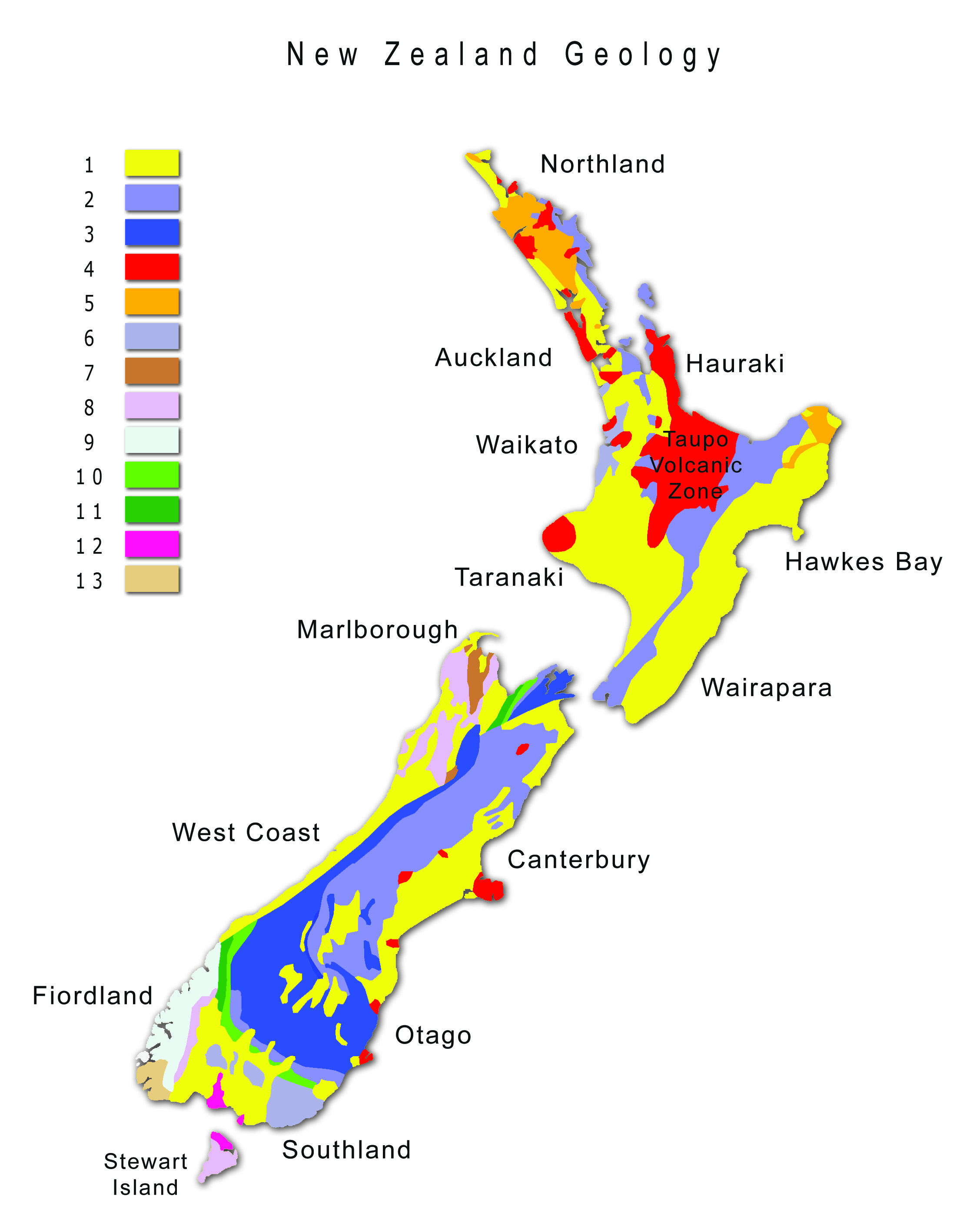
Digital geology map of New Zealand, 2012
About this image
Illustrates national geological interpretation presented as a contemporary digital map. The image is independently produced using published GNS information, not the official GNS QMAP sheet.
Download the original locally stored image
Attribution
Source and reuse
- Published on
- Wikimedia Commons
- Credit
- Ulrich Lange; based on GNS Science geological resource material
- Image date
- 23 January 2012; revised 2013
- Original source filename
- File:Map New Zealand Geology.jpg
- Original dimensions
- 2255 × 2800 pixels
- Original SHA-256
b91d23863279814613821827dda007846f78a7ffc95d0398258b9ea1ed8ada08- Licence
- CC BY-SA 3.0
- Local copy
- The reader displays a local copy so the image remains available if the original page changes.